Retail in Scampston
There are great places to visit near Scampston including some great waterfalls, ruins, historic monuments, hiking areas, villages, towns, caves, mountains, rivers and streams, cities, hills, limestone pavements, historic buildings, castles, country parks, geological features, parks, gardens, old mines and ancient sites.
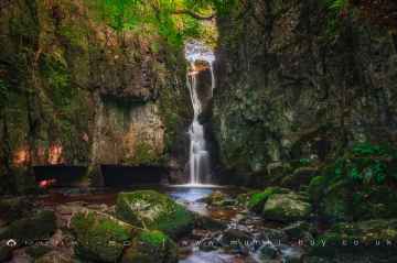
Don't miss Catrigg Force, Lockin Garth Force, Gaping Gill, Clapdale Waterfalls, Aysgill Force, Great Douk Cave Waterfall, and Ingleton Waterfalls Trail's waterfalls if visiting the area around Scampston.
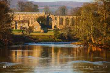
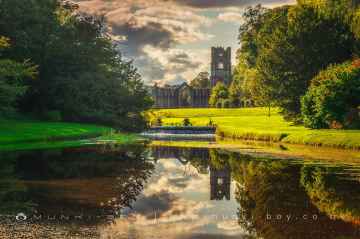
Don't miss Bolton Abbey, Byland Abbey, Easby Abbey (ruin), Fountains Abbey and Studley Royal Water Garden, Rievaulx Abbey, Norton Tower (ruin), and Fountains Abbey (ruin)'s ruins if visiting the area around Scampston.
Scampston has some unmissable historic monuments nearby like Bolton Abbey, Culloden Tower, Rylstone Crag and Rylstone Cross, and Robin Hood's Well (Fountains).
Deepdale, Nidderdale, Cotterdale, Southerscales, Ingleton Waterfalls Trail, Embsay Crag, and Brimham Rocks are great places to visit near Scampston if you like hiking areas.
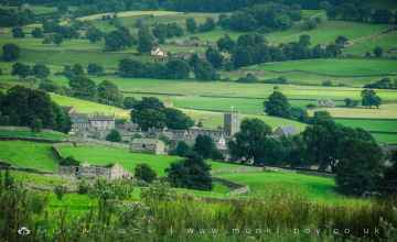
The area around Scampston boasts some of the best villages including Askrigg, West Burton, Bainbridge, Aysgarth, Levisham, Pool-in-Wharfedale, and Hardraw.
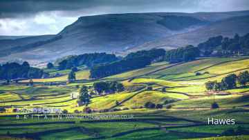
Towns to visit near Scampston include Hawes, Skipton, Richmond, Middlesbrough, Harrogate, Settle, and Helmsley.
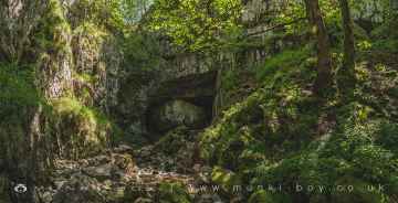
Scampston has some unmissable caves nearby like Great Douk Cave, Yordas Cave, Gaping Gill, White Scar Cave, Janet's Cave, Horseshoe Cave, and Jubilee Cave.
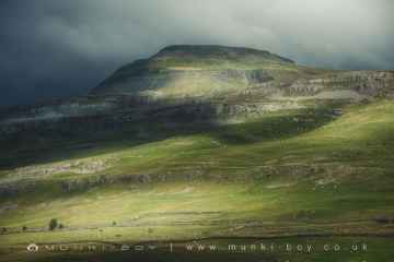
Scampston is near some unmissable mountains like Ingleborough,
Rivers and Streams to visit near Scampston include River Wharfe, Whitfield Beck, Mill Gill, Walden Beck at West Burton, and Hardraw Beck.
There are a several good cities in the Scampston area like York, and Ripon.
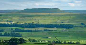
The area around Scampston features a number of interesting hills including Addlebrough, Embsay Crag, Warrendale Knotts, Blua Crags, Sugar Loaf Hill, Attermire Scar, and Rylstone Crag and Rylstone Cross.
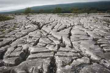
The area around Scampston boasts some of the best limestone pavements including Southerscales, Malham Cove, and Warrendale Knotts Limestone Pavement.
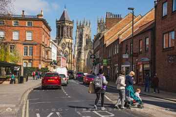
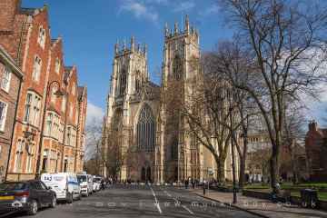
There are a several good historic buildings in the Scampston area like York Minster, Culloden Tower, Marton House, Norton Tower (ruin), Church of St Peter - Rylstone, and Beggar’s Bridge.
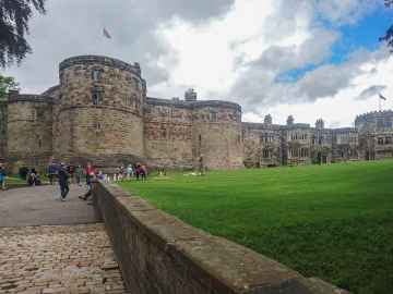
Skipton Castle, Richmond Castle, and Bolton Castle are some of Scampston best castles to visit near Scampston.
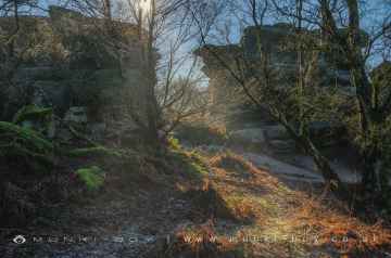
The area around Scampston's best country parks can be found at Brimham Rocks.
Geological Features to visit near Scampston include Brimham Rocks, Malham Cove, and Grassington Lead Mines.
Don't miss Fountains Abbey and Studley Royal Water Garden, Fountains Abbey (ruin), and Studley Royal Water Garden's parks if visiting the area around Scampston.
Places near Scampston feature a number of interesting gardens including Fountains Abbey and Studley Royal Water Garden.
Old Mines to visit near Scampston include Grassington Lead Mines.
There are a several good ancient sites in the Scampston area like Jubilee Cave, Victoria Cave, and Schoolboys Tower.
Scampston History
There are some historic monuments around Scampston:
- Round barrow 50m north east of Manor Farm
- Pickering Castle: 11th century motte and bailey castle and 13th century shell keep castle
- Medieval settlement earthworks on and around Town Green
- Two round barrows at Settrington High Barn
- Two prehistoric linear boundaries with associated features, 680m ESE and 880m NNE of Pexton Moor Farm
- Scamridge Dikes: prehistoric linear boundaries and associated features
- Allerston medieval manorial centre, dovecotes and 17th century gunpowder works
- Long barrow 530m north of Keeper's Cottage
- Bowl barrow in Towthorpe Plantation, 370m WSW of Canada Cottages
- Round barrow 570m south east of Warren House
- Round barrow 330yds (300m) NNW of Ladyhills
- Round barrow on Givendale Rigg, 1.5km south west of Givendale Head Farm
- Rabbit type 570m south east of Pexton Moor Farm
- A cross dyke on Knapton Wold, 500m west of West Farm
- Warrening enclosure 975m north east of High Paper Mill Farm
- Round barrow on Knapton Brow
- Round barrow 160m north of Manor Farm
- Old church
- Round barrow 1/4 mile (400m) NW of Broom House
- Prehistoric linear boundary in Ellerburn Wood, 370m north west of St Hilda's Church
- Round barrow 650m north west of St Hilda's Church, Ellerburn
- Warrening enclosure 1.08km north east of High Paper Mill Farm
- West Wold Farm round barrow
- Prehistoric linear boundary on Stonygate Moor, 550m west of Warren House Farm
- Two round barrows 1/2 mile (800m) NE of Duggleby High Barn
- Heslerton Brow barrow group: a bowl barrow 250m north-west of Wold Barn
- Staple Howe: a palisaded hilltop enclosure in Knapton Plantation
- Heslerton Brow barrow group: a bowl barrow 230m north-east of Wold Barn
- Iron Age barrow cemetery, East Field
- Thirkleby medieval settlement adjacent to Thirkleby Manor
- The Three Dykes (or Five Riggs)
- Allerston lime kilns
- Rabbit type on Flainsey Rigg, 1.3km east of Dalby Meadow
- Round barrow 600m west of Scamridge Farm
- Duggleby Howe round barrow, interrupted ditch enclosure and ring ditches
- Round barrow 1/2 mile (800m) NNE of Settrington House
- Roxby Hill manorial complex and associated ridge and furrow earthworks
- Standing cross 180m north of Hall Farm
- Wilton Hall moated site 250m south of Manor Farm
- Medieval settlement immediately south east of Ebberston Hall
- Three round barrows on West Heslerton Wold
- Round barrow 1/4 mile (400m) SW of Many Thorns Farm
- Long barrow 630m north west of Scamridge Farm
- Round cairn on Pexton Moor, 150m north east of Pexton Moor Farm
- Round barrow 520m north west of St Hilda's Church, Ellerburn
- Round barrow in SE corner of Scardale Plantation
- Round barrow 470m north of Keeper's Cottage
- Settrington Beacon round barrow
- Two long barrows 630m and 690m north east of Scamridge Farm
- Heslerton Brow barrow group: three bowl barrows 300m north-east of Wold Barn
- Entrenchment in High Mowthorpe Plantation
- Churchyard cross, immediately south of St Mary the Virgin's Church
- Round barrow NE of Wintringham South Wold Farm
- Round barrow on Givendale Rigg, 1.6km south west of Givendale Head Farm
- Round barrow 300m north west of Warren House
- Yedingham Priory
- Entrenchment in and N of Fizgig Hole Plantation
- Kirby Grindalythe medieval settlement earthworks immediately south west of St Andrew's Church
- Round barrow 200m north west of High Park Farm
- Round barrow 1/4 mile (400m) SE of Newton South Wold Farm
- Prehistoric linear boundary and associated features including a medieval monastic grange, north, east and south east of Moorsome Farm
- Old Malton Priory Church (ruined portions)
- Wharram Percy deserted medieval village
- Roman villa
- Round barrow W of Newlands Lane


