Janet's Cave by munki-boy
Janet's Cave
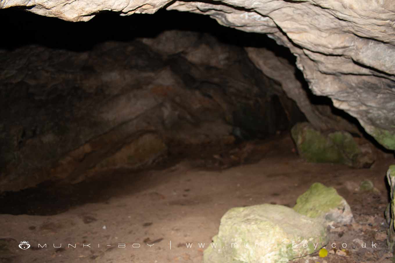
Janet's Cave is in The Yorkshire Dales National Park in England.
The tiny cave beside Janet’s Foss waterfall in Malham that is said in local legend to have been home to a witch called Janet.
There’s really nothing much to see having traversed the slippery rocks on the South side of the small pool.
Created: 24 July 2019 Edited: 29 November 2023
Malham Tarn Estate Information
Malham Tarn Estate Address
Yorkshire Dales Estate Office, Pennine Way, Settle BD24 9PT, UK
BD24 9PT
Website: https://www.nationaltrust.org.uk/malham-tarn-estate
Get directionsLocal History around Janet's Cave
There are some historic monuments around including:
Pikedaw Hill southern cairnCup marked rock in wall east of Scarnber Wood, 500m north east of Bark Laithe, WinterburnEnclosure E of Malham LingsSettlement 1/3 mile (540m) NW of Langscar GateMedieval monastic wayside cross baseDruid's Altar four poster stone circleSettlement on Prior RakesEnclosure and hut circles on Prior RakesFarm sites and field systems on Malham LingsSeaty Hill round cairnField system S of Malham CoveLynchets N of Malham villageSettlement 500ft (150m) NW of Ing Scar CragCrane Field round barrowTwo rectangular house sites on Malham LingsRound cairn south east of Broad FlatsHut circle on Comb Scar'Douky Bottom Cave' Hawkswick Clowder, near KilnseyCairn on Great Close HillRound barrow 400m south west of Crane Field LaitheSettlement at Dew BottomsSettlement N of Stridebut EdgeHigh Wood bowl barrowMedieval monastic wayside cross base, Water Sinks GateEnclosed prehistoric settlement east of Malham CoveSettlement sites on Jorden ScarRound barrow 550m south west of Park HillCairn 80m north of Pikedaw HillRing cairn north west of Ewe MoorSettlement SE of Druid's AltarLower Colgarth Hill round cairnKilnsey Moor settlementMedieval monastic wayside cross baseLime kiln and associated quarry 75m south of High Scarth BarnHut circles, enclosures and fields N of Shorkley HillRoman temporary camp and medieval monastic cross base, Mastiles Lane.Round cairn on Broad FlatsSettlement on Ing ScarRound barrow north of Moor Syke, Crane FieldSheriff Hill round cairnSettlement on Cow Bank 1/4 mile (400m) NW of DarnbrookMedieval settlements and lynchets extending NW from Town HeadSettlement 1250yds (1140m) NE of Malham Tarn HouseSettlement on Blue ScarPillow mounds east of Friars Head, known as Giants' GravesFarmhouse sites on Highfolds ScarCairn on Blue Scar 460m NW of Springs Cave.


