

Attermire Scar by munki-boy
Attermire Scar
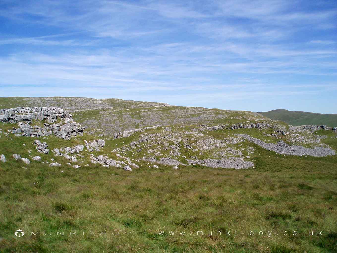
Attermire Scar is in The Yorkshire Dales National Park in England.
A 450 metre high limestone scar with caves and prehistoric sites. Part of a large “open access” area to be explored.
Created: 24 February 2021 Edited: 29 November 2023
Attermire Scar

Attermire Scar LiDAR Map

Contains public sector information licensed under the Open Government Licence v3.0
Local History around Attermire Scar
There are some historic monuments around including:
Ring cairn north west of Reinsber ScarCairn on Stainforth Scar, 180m east of Hawes Close BarnRound barrow 550m south west of Park HillGiggleswick market crossPikedaw Hill southern cairnUlfkill cross base, Malham MoorBoundary dyke W of Capon HallJubilee Cave, Langcliffe ScarRound barrow 400m south west of Crane Field LaitheSettlement 1/3 mile (540m) NW of Langscar GateRing cairn north west of Ewe MoorVictoria Cave, Langcliffe ScarRing cairn on Langcliffe Scar, 800m ESE of Victoria CaveNucleated coal mine and coke oven on Fountains FellSettlement 1/4 mile (400m) W of Leys BarnCraven and Murgatroyd lime works 400m north east of Langcliffe MillCairn 60m north east of Dead Man's CaveKinsey Cave, Giggleswick ScarCairn 80m north of Pikedaw HillCrane Field round barrowCairn 340m north of Scar Top Garage.


