Around Turton and Entwistle
A Walk in Greater Manchester
Walk spec.
Difficulty: Easy
Basic length: 4Km (approx.)
Terrain:
- Gravel tracks
- Mud tracks
- Tarmac

A short and easy walk round the shoreline of Turton and Entwistle Reservoir, taking in views across the water.
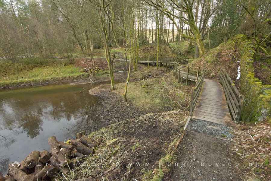
There’s usually not much to worry about on the route aside from puddles in wet weather, although there has been some flooding after prolonged rain, with some sections of raised, wooden walkway since provided.
There is a very small section of road crossing the reservoir embankment but it is only for access to local dwellings and vehicles are few.
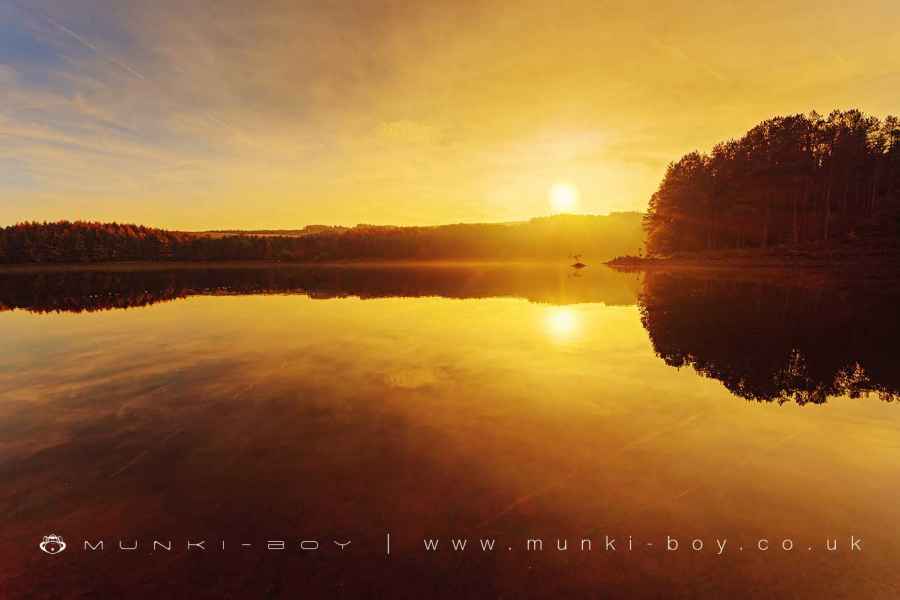
Entwistle Reservoir
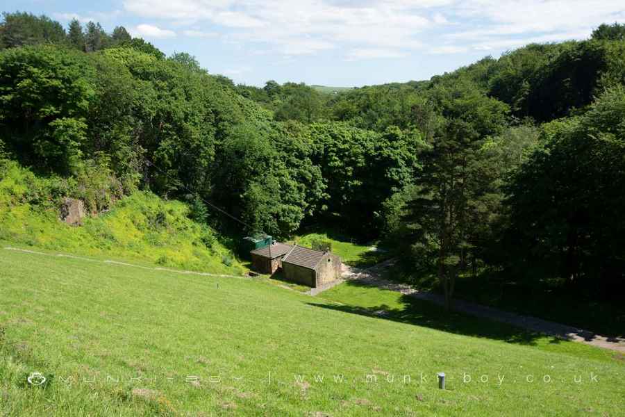
1. Batridge
Starting from either the upper (Batridge Road) or lower car parks, by the southeastern corner of Entwistle Reservoir. The upper car park occupies the site of Batridge, which was an old farm with several outbuildings. The upper car park has steps leading down to the shoreline.
Heading in a westerly direction, so as to go clockwise round the reservoir we head along the wide footpath with the water to our right. The footpath on this side is so well proportioned as it used to be an old tramway leading from the Yarnsdale quarries at the top end of the reservoir.
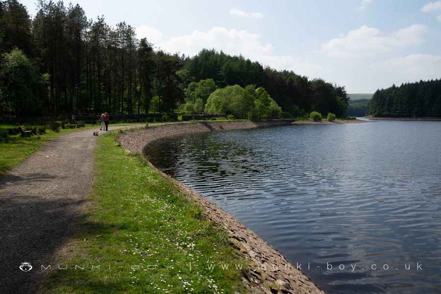
Entwistle Reservoir Footpath
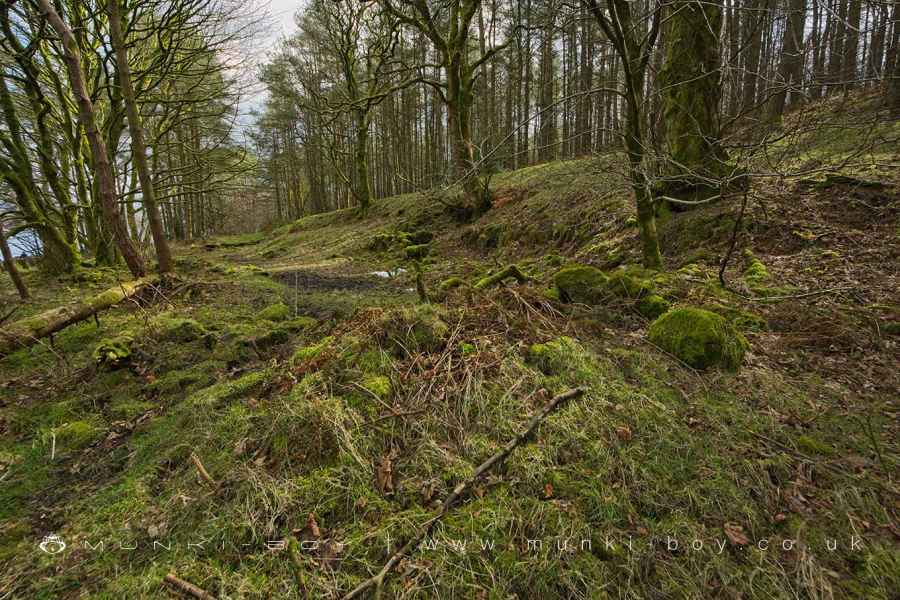
2. Little Moor and Clough
After some distance following the path round, a small clough comes into view on the left. It looks like the tramway continued straight-on, but we have a choice of skirting what is sometimes a small pool and at other times dry.
Here as the footpath deviates to the left of the tramway route was another farm known as Little Moor and the small valley or clough heading up just beyond is Little Moor Clough.
Little Moor (site of)
3. Lower Tarkingtons
Back on the main footpath and moving on, just around the next ‘headland’; look left into the trees to find an old gatepost that lead into the yard of Lower Tarkingtons. The scant ruins can be found a few metres on and are quite accessible if you nip over the fallen stone wall.
Although there are no proper walls remainig upright, the shapes of the various buildings are easy-enough to make out. There are often Bluebells here in Spring and mushrooms in Autumn.
Lower Tarkingtons (ruin)
4. Looking Toward Yarnsdale
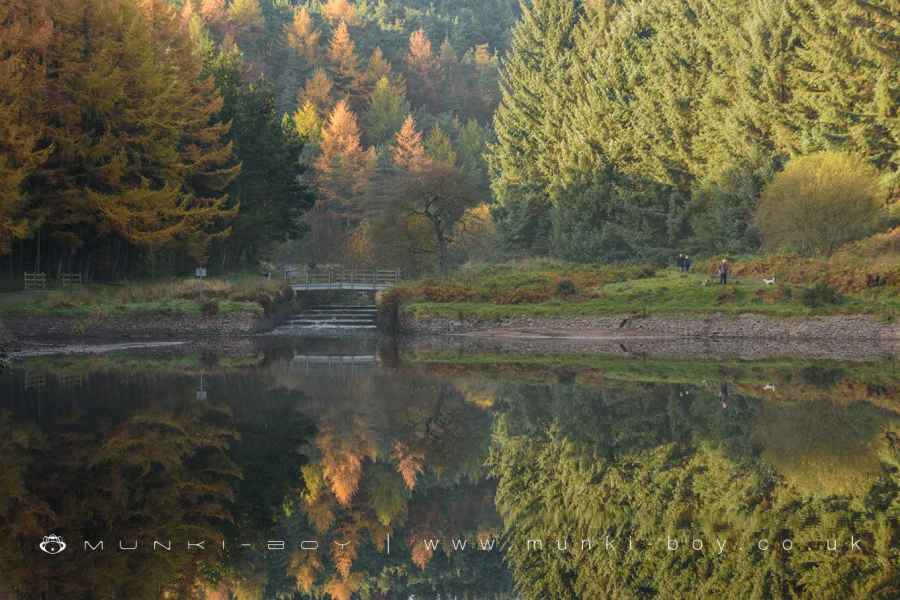
The next section of track brings us in sight of the Yarnsdale end of Entwistle Reservoir and what is often one of the loveliest views in the area - although it is changing now as the old plantations are being removed.
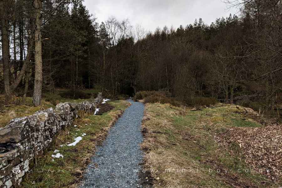
The path curves northward towards a modern bridge across the Cardshaw Brook. The path straight on leads to Yarnsdale and two alternate routes to the one we’re on, but for today cross the bridge and keep following the shoreline with the lake on our right and a dense plantation on the left.
5. The North Shore and The Wader
The path, now narrower without the tramway bed, continues round the reservoir for some distance between the trees and water with good views down to the embankment at the opposite end.
Curving first southward and then northwards until The Wader comes into view beside the point where Simms Clough joins the main body of water. The Wader is a galvanised welded steel structure by Marjan Wouda that was commissioned by United Utilities, in the form of a heron, at times partially submerged and on dry ground in times of summer drought.
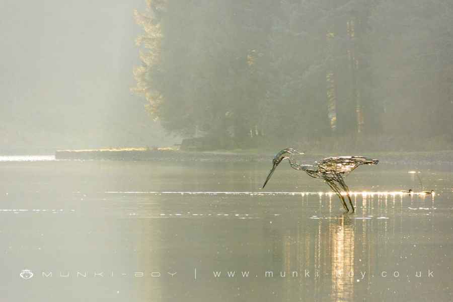
The Wader at Entwistle Reservoir
6. The Heronry
Leaving the wader the path makes its way down into Simms Clough to a sharp corner befor heading back to the main body of water. There is a stone weir-like structure here, often partially submerged but it is a spot favoured by both Heron and Cormorant.
A little further on, in the treetops to the left of the track there is a heronry from which a great fuss and noise ensues in late Spring (mind your head). There is often a contest for trees locally between Heron and Cormorant with the latter being said to drive out the former.
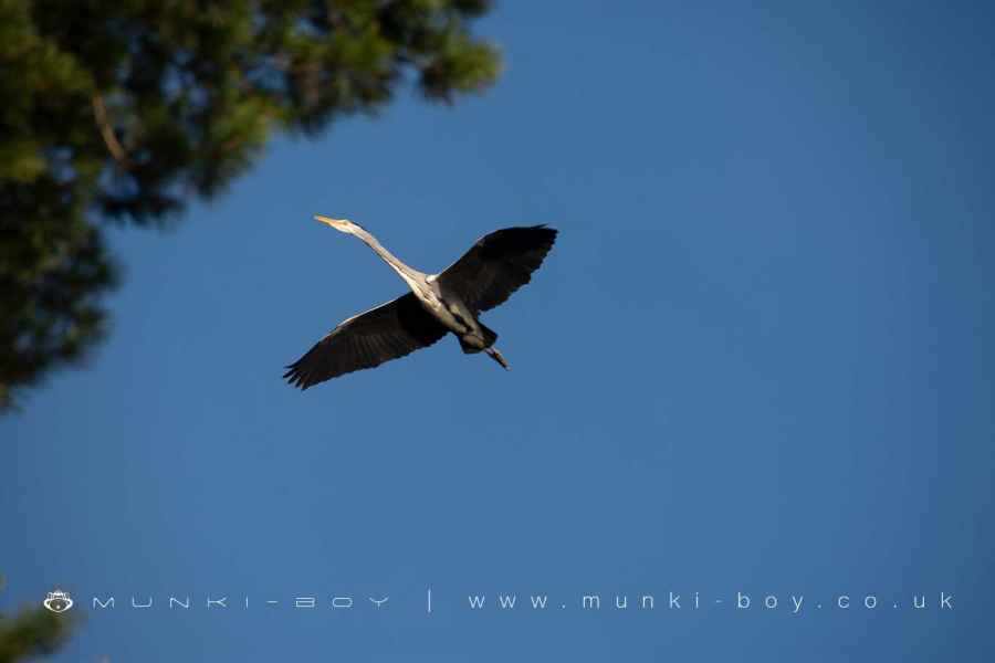
Heron flying at the Heronry at Entwistle Reservoir
7. The Old Well
The final stretch of track before the corner of the embankment has some good views over concrete jettys across the water although the shore is behind a stone wall with locked gates.
There is an interesting old spring - or ‘well’ as it is shown on the old maps - at the top of a small embankment in the trees to the left of the path. Probably not worth the trek for most people. It is actually a covered spring of a design that features throughout a relatively wide area. Now silted up with mud, this was probably once the water source for the nearby Hall Shores Croft. Similar construction is easily found at Moss Bank Spring (Bolton) and The Kaldewell (Rivington), both based on natural springs and not a ‘wishing well’ design.
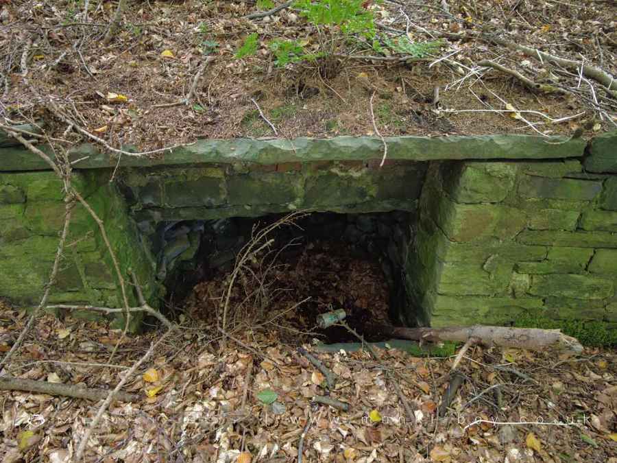
Old Spring Well beside Entwistle Reservoir
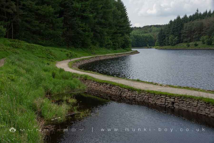
8. The Embankment
At the end of the track we turn right onto the reservoir embankment - this is a road so take care. The route heads straight along the embankment and back to the car parks, but there are a few points of interest to look out for along the way.
Also of note is the supposition of experts that the embankment is constructed wholly of clay, rather than having an internal structure and waterproofing. This would have been one of the earliest reservoir dams of its size. It has lasted remarkably well so far.
The first structure we encounter is the large overflow that is usually dry, followed by the stone valve house with its faux castellations. Notable are a datestone - dated 1833 - which relates to the original construction of the reservoir which was a private project to supply water to mills downstream. There is also a painted metal plaque dated 1884 which relates to Bolton Waterworks taking over the reservoir as a supply of drinking water.
Entwistle Reservoir Embankment
Entwistle Reservoir
The Footpath around the foot of Little Moor Clough
Entwistle Reservoir Tramway
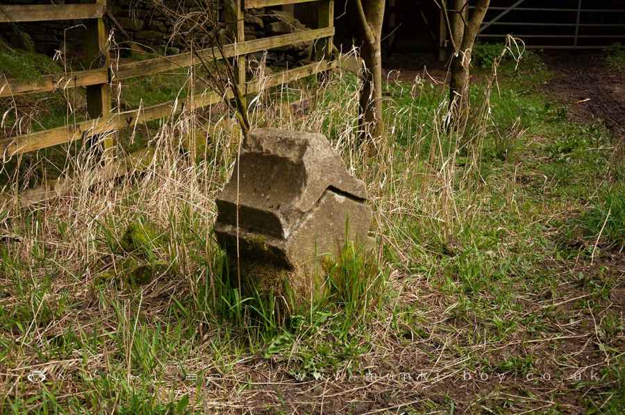
Keystone said to be from an old mill beside Cadshaw Brook
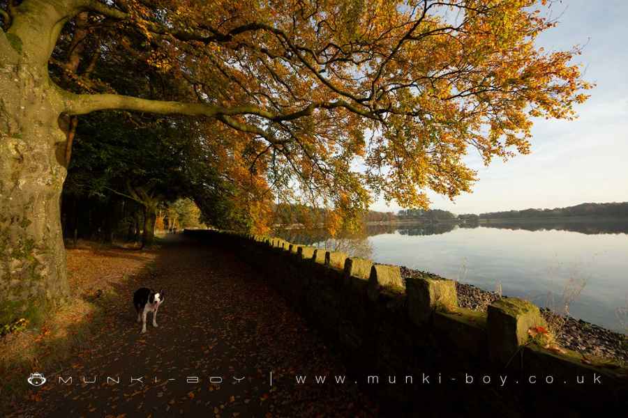
Autumn Colour at Entwistle Reservoir
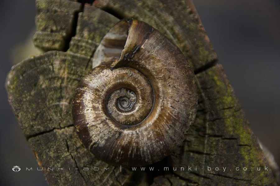
Ramshorn Snail Shell found at Entwistle Reservoir
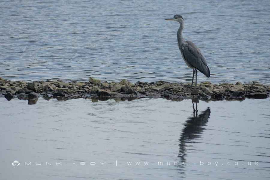
Grey Heron at Entwistle Reservoir
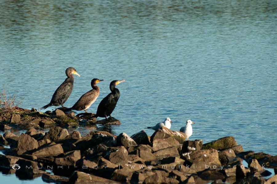
Cormorants at Entwistle Reservoir
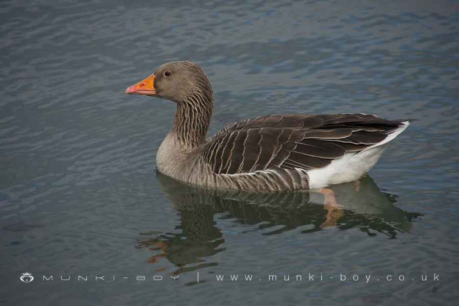
Greylag Goose at Entwistle Reservoir
These walks are described for educational purposes only and we make no recommendation that you follow them, do so at your own risk. We accept no liability for your safety or for the reliability of the walk, map, description or anything else.
Mist, Mines and Ruins


Own label and private label building products
We produce, brand and supply for some of the biggest names in the industry. Read more...