

Yarnsdale by munki-boy
Yarnsdale
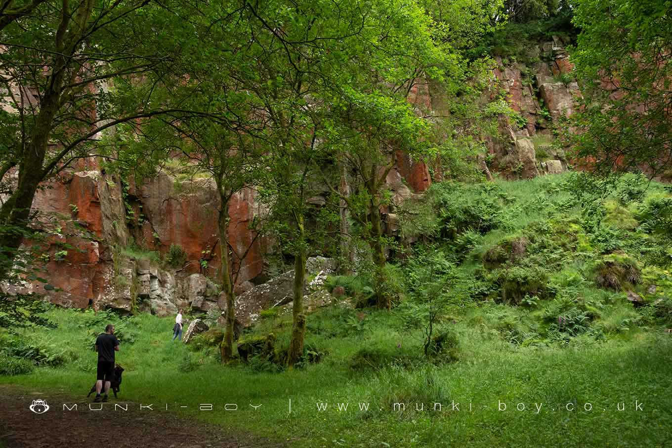
Yarnsdale is a small area around a wooded valley where the Cadshaw Brook enters Turton and Entwistle Reservoir.
Once the site of quarrying with tramways along the banks of what is now the reservoir. Now a hiking and outdoor recreation area with mixed woodland overgrowing the remains of industry.
Created: 16 May 2021 Edited: 29 November 2023
Yarnsdale

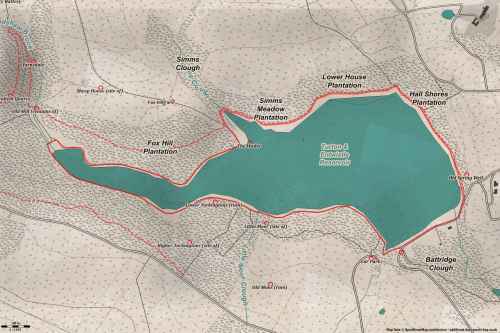
Yarnsdale LiDAR Map

Contains public sector information licensed under the Open Government Licence v3.0
Walks in Yarnsdale
Local History around Yarnsdale
There are some historic monuments around including:
Round cairn 280m west of Old Harpers FarmStone circle, ring cairn and two round cairns on Cheetham CloseCoking ovens and associated coal workings on Aushaw Moss 450m south west of Lower HouseRoman road at Bottom o' th' Knotts BrowAffetside Cross at Affetside 75m north west of the Pack Horse InnSteam tramway reversing triangle.


