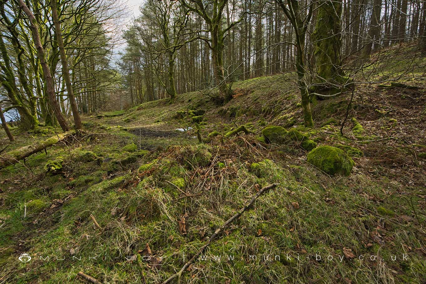
Lower Tarkingtons (ruin) by munki-boy
Lower Tarkingtons (ruin)
Scant ruins of an old farm that went derelict in the latter half of the 19th Century.
Situated beside Turton and Entwistle Reservoir.
Created: 25 October 2022 Edited: 29 November 2023
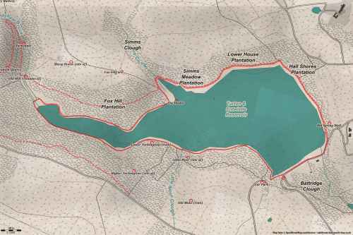
Turton and Entwistle Reservoir Details
Turton and Entwistle Reservoir is a small freshwater lake in Greater Manchester, situated at an altitude of around 211 meters and is shallow.
The shoreline of Lower Tarkingtons (ruin) is approximately 3.809 Kilometers all the way round.
- Altitude: 211 m
- Shoreline: 3.809 Km
- Depth: Shallow
Lower Tarkingtons (ruin)
Lower Tarkingtons (ruin) LiDAR Map

Contains public sector information licensed under the Open Government Licence v3.0
Walks in Lower Tarkingtons (ruin)
Local History around Lower Tarkingtons (ruin)
There are some historic monuments around including:
Roman road at Bottom o' th' Knotts BrowAffetside Cross at Affetside 75m north west of the Pack Horse InnStone circle, ring cairn and two round cairns on Cheetham CloseCoking ovens and associated coal workings on Aushaw Moss 450m south west of Lower HouseSteam tramway reversing triangle.


