Wildersmoor Pit Kilns (ruin) by munki-boy
Wildersmoor Pit Kilns (ruin)
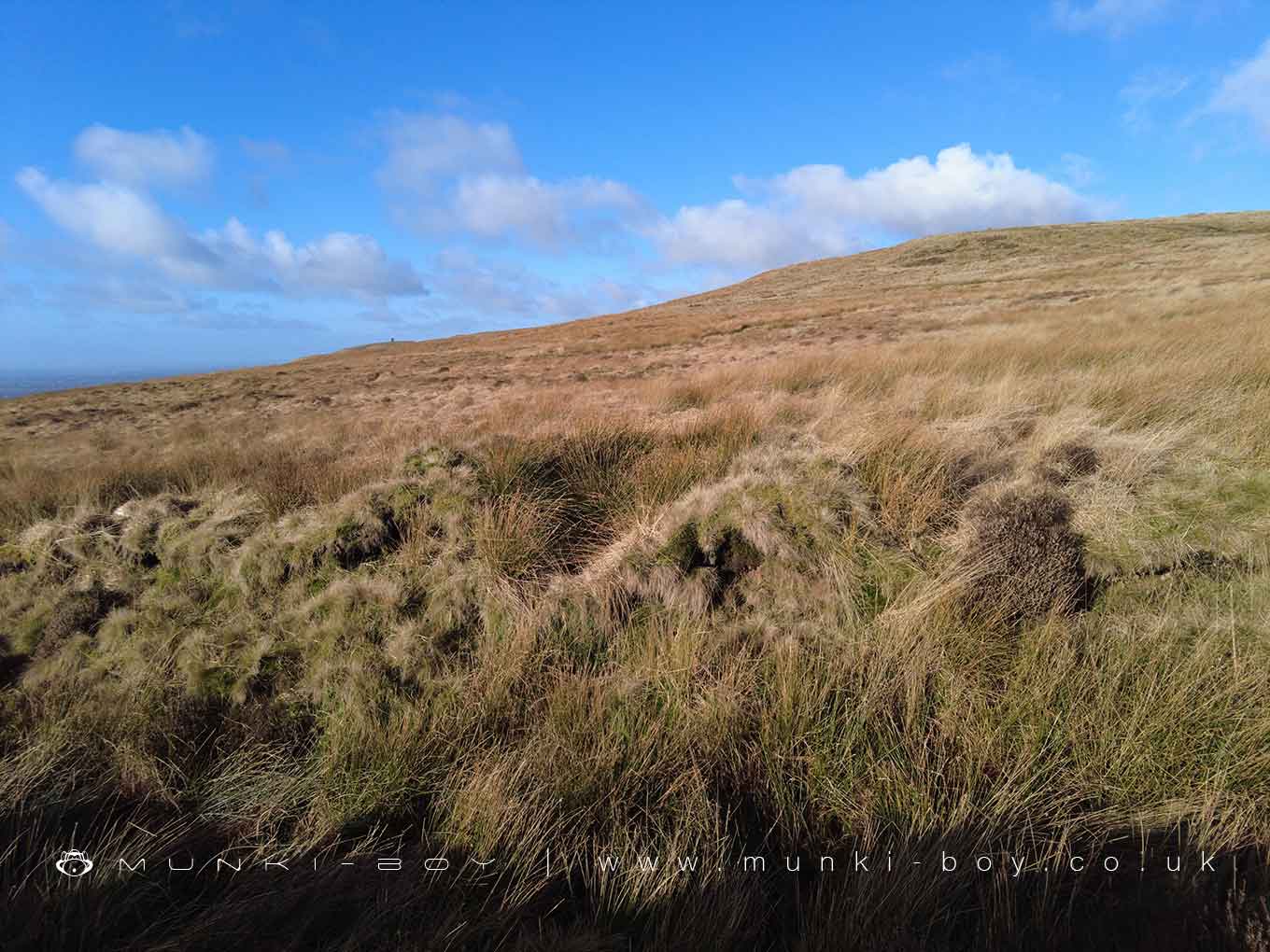
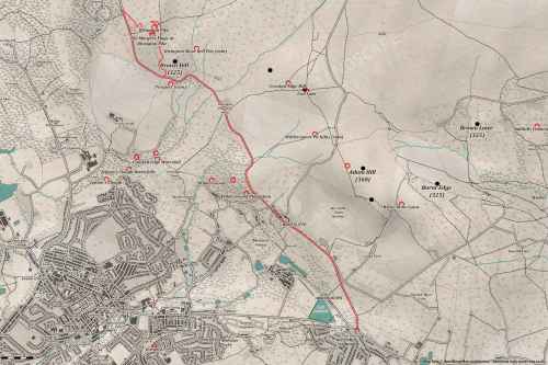
There is an old path, perhaps very old that leads up from the edge of Wilderswood up to the transmitter access road on Winter Hill. The path now runs alongside a substantial water channel that brings water collected from Winter Hill, down through the catch tanks just off the mast road. The tanks and water channels were constructed around 1900 and the ditch that was created cuts through the edge of several Pit Kilns that must pre-date it. The kilns aren’t shown on any maps that I know of and the date of use is unknown, the kilns aren’t well-known and are seldom mentioned in local texts.
The kilns can be seen to be formed of earth with some stone, probably to reinforce the structures so they could be re-used more easily. I imagine the kilns would have been used at the same time but for all we know they could represent a series of kilns that were constructed and used sequentially - when one became unusable, another could have been constructed a little way further along the path. Pit kilns have been in use for a very long time and are still used today in developing countries to fire clay pottery.
Some of the kilns are better preserved than others, though most are cut through by the more modern drainage ditch - so a cross-section of the structure is visible. Close examination of the overgrown mounds and pits reveals a number of stones with the pinkish patina that forms when the local stone is subjected to high temperatures. I have not yet found any remaining pottery that could have been fired in the kilns but they are quite overgrown with moorland grass, so any remaining fragments could be hard to find.
If it isn’t already clear, you must discard the drainage channel as it is not shown on any maps even as a stream before the catch tanks were constructed. Imagine instead a row of kilns to the side of a track that was perhaps well used.
The purpose of the Wildersmoor Pit Kilns
The surface geology of the patch of land where the pit kilns are located on Wildersmoor is “assumed” to be that of the Pennine Coal measures, sandwiched between the Woodhead Hill Rock and the Gannister Rock with older Rough Rock further up the hill. It is conceivable that the coal and clay mined here could have come from the Bassy mine, Lower Foot Coal or the Lower Mountain mine seams, but, it is known that nearby the older Sand Rock seams are accessible.
It is said that for more than a century before, and perhaps during the more commercial mining that is more easily visible on the moor, that landowners, resident tenants or cheeky locals would have mined coal and clay through small “drifts” - mine tunnels being dug in a horizontal fashion into the side of the hill slope, perhaps where outcrops of coal and clay could be seen on the surface. So we can imagine such drifts somewhere nearby obtaining coal and clay of varied quality from the surrounding slopes. I would also suggest the drifts to be higher up the slope than the kilns, as why would someone carry coal and clay up a hill rather than down?
We know from a geological report of the nearby Burnt Edge Colliery, that from the Sand Rock coal seams a quantity of “grey fireclay” suitable for pottery making was available. So it seems some quality of clay that could be used for pottery making was probably available here, and it is the process of firing this clay into pots for which the kilns were constructed. It seems to me a primitive or amateur undertaking, for the pottery clay that was obtained at later sites nearby was sold directly to other commercial companies rather than fired on site.
There must have been some structure in which to construct the pots before they were fired in the kilns but I don’t know the location of this and it could have been a simple wooden shed. There are a couple of small ruined stone buildings close to the kilns but further downslope, and I just can’t imagine clay being carried down to the buildings and then back uphill to the kilns for firing. The fired pots would have had to have been carried back down the hill again for transportation to nearby towns like Horwich or Bolton.
The strangely curved corner of the wall shown here marks the corner of a smaller stone building near to the pit kilns on Wildersmoor. It is uncommon for a drystone field wall to be constructed with a curve like this and I’m not sure of its purpose as a field wall or the corner of a building.
Created: 22 January 2022 Edited: 29 November 2023
West Pennine Moors SSSI Details
Type: SSSI
Wildersmoor Pit Kilns (ruin)
Wildersmoor Pit Kilns (ruin) LiDAR Map

Contains public sector information licensed under the Open Government Licence v3.0
Walks in Wildersmoor Pit Kilns (ruin)
Local History around Wildersmoor Pit Kilns (ruin)
There are some historic monuments around including:
Gidlow Hall moated site, Aspull, 560m NNE of Pennington HallHeadless Cross, GrimefordPike Stones chambered long cairnSteam tramway reversing triangleRound cairn on Winter HillRound cairn on Noon HillRound cairn 280m west of Old Harpers FarmRound Loaf bowl barrow on Anglezarke Moor.


