Stronstrey Bank by munki-boy
Stronstrey Bank
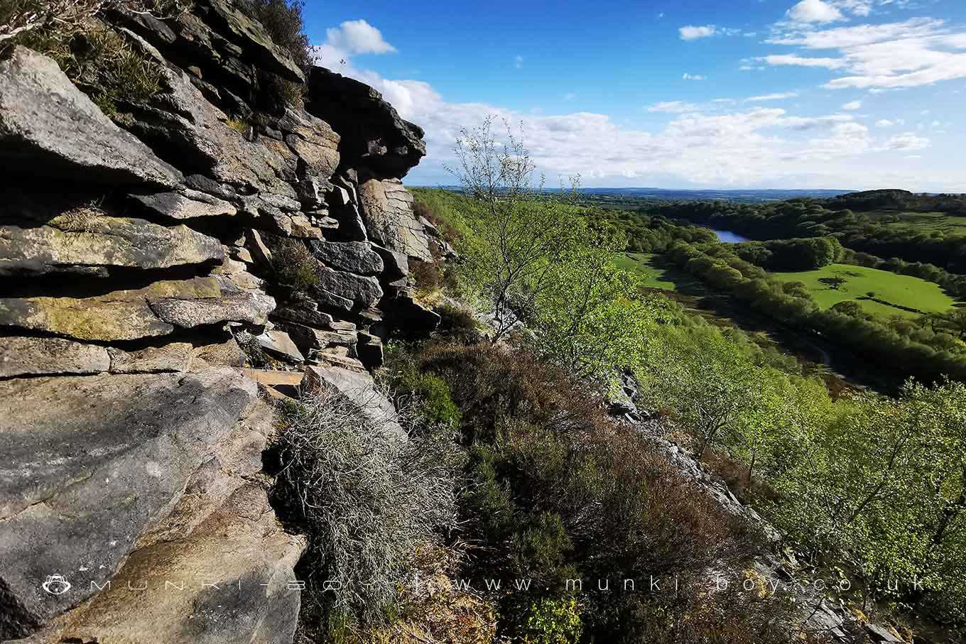
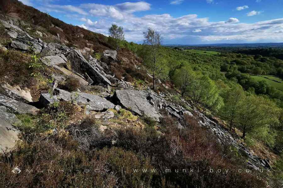
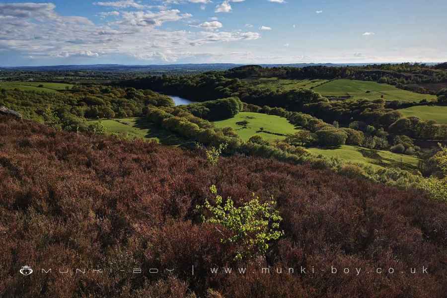
A steep and rocky bank along a large geological fault that runs from the north end of Anglezarke Reservoir to Abbey Village.
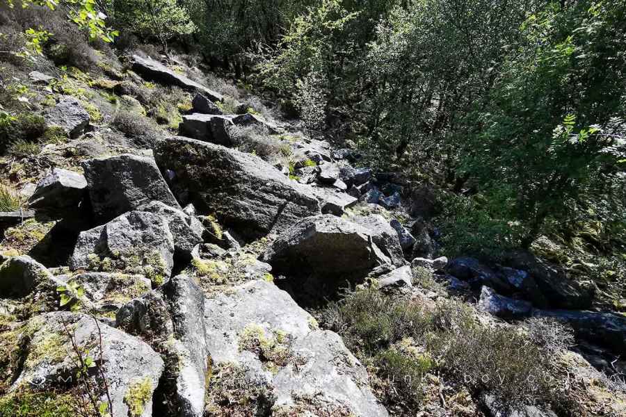
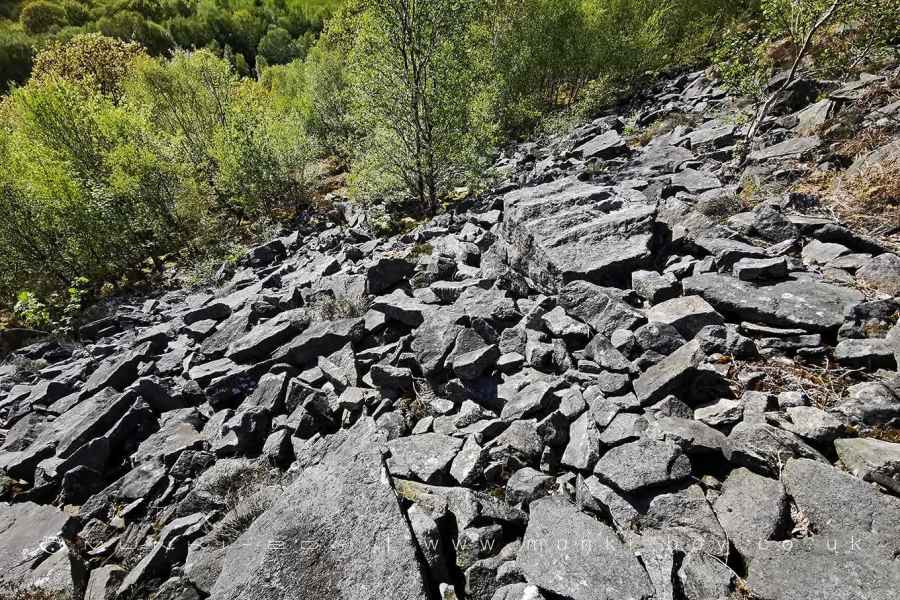
On the east side of the fault are hard Fletcher Bank gritstones topped by outcrops of the Rough Rock, eroding away in large boulders and scree down the steep slope. On the western side of the fault are sandstone, shale and mudstones of the Rossendale Formation.
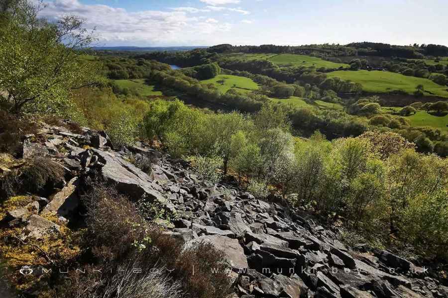
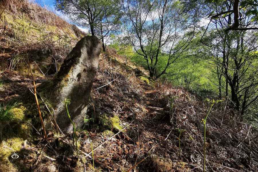
Although the fault runs much further it is perhaps most obvious here as the Stronstrey Bank dominates the landscape below. Today a good footpath runs along the top of the bank on the edge of the moorland with a fence to stop sheep roaming to near to the rocky slopes. The slope of the bank itself is a dangerous place, very difficult to traverse the loose scree which is heavily overgrown in places but not necessarily stable. Stronstrey Bank is popular with the bouldering community but I think even they stick to the quarries around the Dean Black Brook above White Coppice.
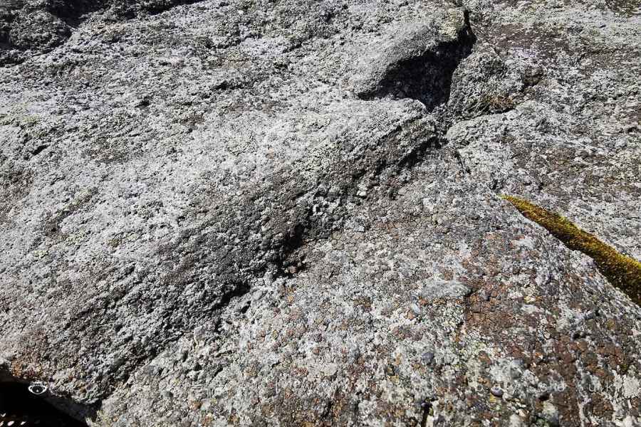
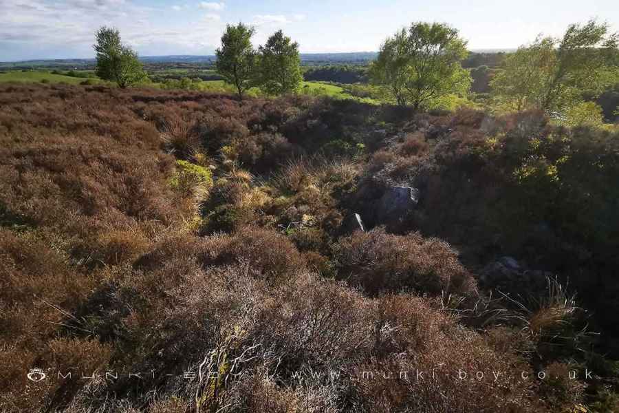
There are a number of curiosities up on the Stronstrey Bank of uncertain age but interesting nonetheless. Firstly, the rock outcrops themselves, the rock here is around 320 million years old and is formed from grit deposited on flood plains or large river shallows and contains the fossils of plants. Perhaps to state-the-obvious, but the rocks pre-date the geological faults which disrupt the layers of rock which were already present.
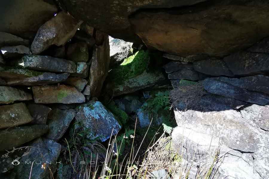
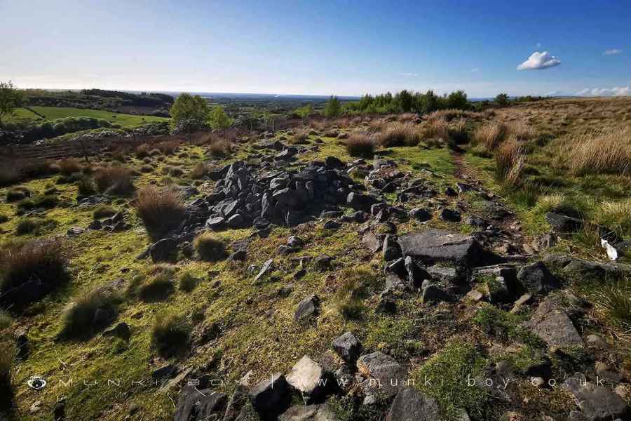
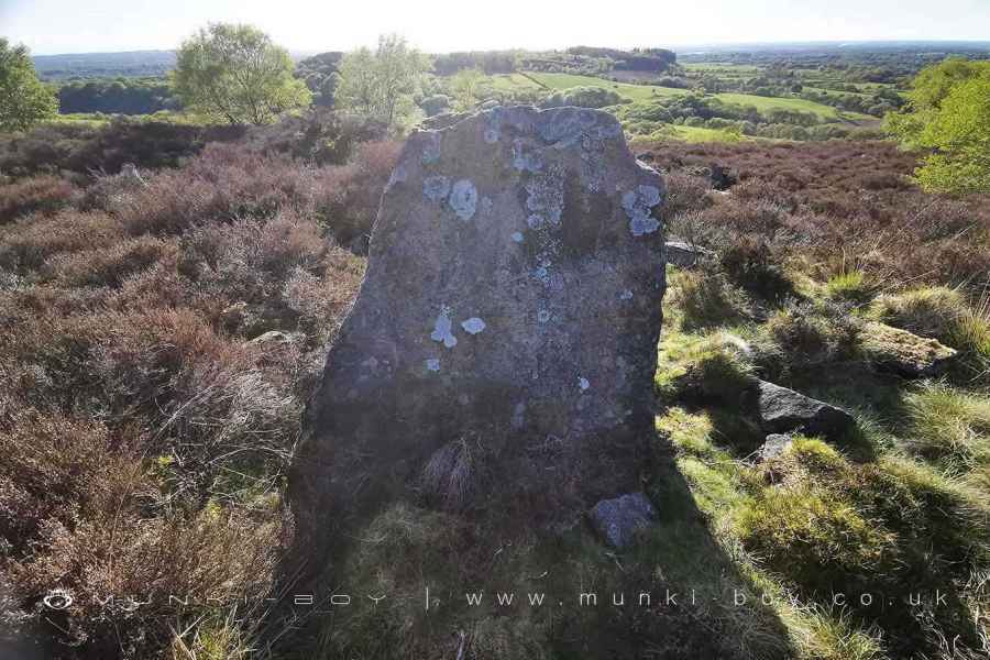
There are a number of structures constructed from the plentiful rubble hidden away in the overgrown parts of the bank, some drystone walling but others possible rock shelters created by adding walling to existing hollows in the rocks. These aren’t caves in the true sense, rather they are cavities between the larger rocks that have tumbled down the slope. There are also several ‘upstanding’ rocks that could have naturally but perhaps not so numerously. These structures are of uncertain age, possibly dating to the 19th Century quarrying. There is a low, stone table or cist on the top above the quarry area that some reckon to be ancient but it is similar to other local structures used as meeting points for persecuted Christians - usually carved with a cross symbol or close to one.
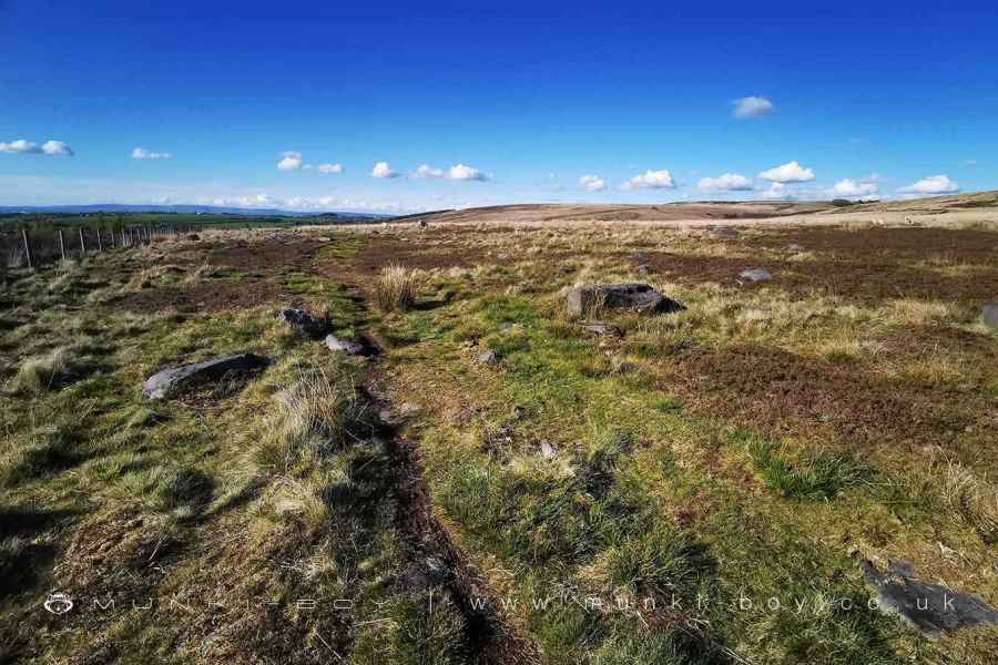
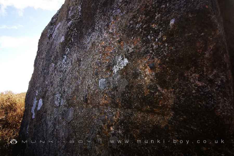
On the site of several old ‘bell pits’ at the southern end of the bank there is a large rock, upstanding and carved with a large triangle, now faint but with some patina - probably not very modern. However, the lead mining activity would certainly have displaced or destroyed an ancient carving. I am not sure if there are other carvings on this rock - natural fractures can be confused.
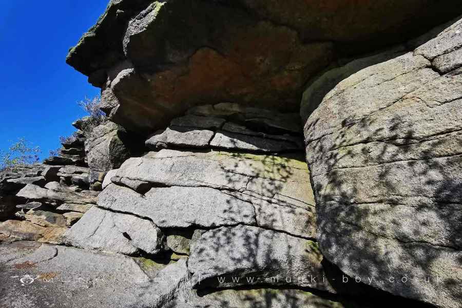
Along with the lead mining remains above Stronstrey Bank there is said to have been a lead mine adit somewhere on the slopes but I have never found it. There is an outcrop of the Rough Rock near the top below an overhanging shelf that looks very much like a walled up adit, when viewed from the valley below or Healey Nab across the other side.
Created: 20 May 2021 Edited: 29 November 2023
West Pennine Moors SSSI Details
Type: SSSI
Stronstrey Bank
Stronstrey Bank LiDAR Map

Contains public sector information licensed under the Open Government Licence v3.0
Local History around Stronstrey Bank
There are some historic monuments around including:
Moated site at Arley Hall, Haigh near WiganPike Stones chambered long cairnRound cairn on Noon HillHeadless Cross, GrimefordRound Loaf bowl barrow on Anglezarke MoorRound cairn on Winter HillRound cairn 280m west of Old Harpers FarmBretters Farm moated site and two fishponds.


