


Anglezarke by munki-boy
Anglezarke
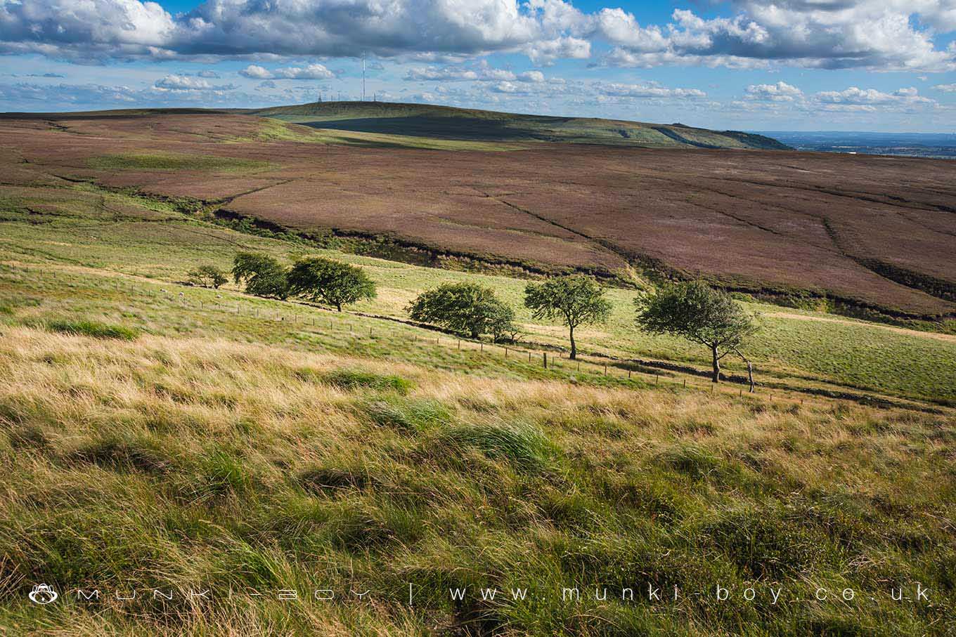
Anglezarke is just north of Winter Hill and contains the areas of next highest ground - a wide expanse of wild moorland cut by interesting valleys and streams, most notably the Limestone Brook and Leadmines Clough.
The Anglezarke Reservoir is most northerly of the three “Rivington Lakes”, arguably the most scenic of the three and the most peaceful - being away from the tourists. There is a nice nature walk on the eastern shore below a fantastic viewpoint.
Anglezarke Moor as the upland area is called is ‘proper’ moorland but there are plenty of paths to follow and interesting things to find along the way.
Created: 27 November 2016 Edited: 29 November 2023
West Pennine Moors SSSI Details
Type: SSSI
Anglezarke


Anglezarke LiDAR Map

Contains public sector information licensed under the Open Government Licence v3.0
Local History around Anglezarke
There are some historic monuments around including:
Bretters Farm moated site and two fishpondsHeadless Cross, GrimefordRound Loaf bowl barrow on Anglezarke MoorMoated site of Clayton Hall, adjacent fishponds and channelsPike Stones chambered long cairnRound cairn on Noon HillMoated site at Arley Hall, Haigh near WiganRound cairn on Winter Hill.


