The remains of Rough Bank Colliery by munki-boy
Rough Bank Colliery (ruin)
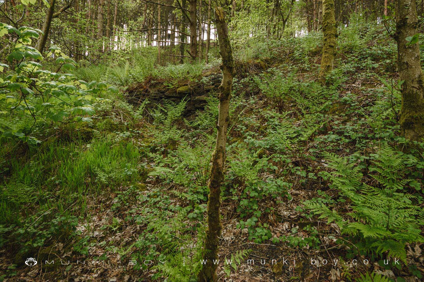
The overgrown remains of an old colliery that dates back to at least the early 19th Century where two pits where active, one beside the current footpath and one in the fields above Rag Hole Clough to the Northwest.
Still active in the first half of the 20th Century with a small tramway or haulage leading up the slope towards the higher shaft which looks today like a fenced, large hole on Google Earth - impressive check it out.
The site of the old Rough Bank Colliery is a small woodland called Rough Bank Wood on the west side of the footpath leading from Ogden Reservoir towards the ruins of Rag Hole and looks to be very overgrown but some remaining stonework can be glimpsed through the trees.
Created: 28 December 2018 Edited: 29 November 2023
Rough Bank Colliery (ruin)
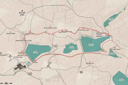
Rough Bank Colliery (ruin) LiDAR Map

Contains public sector information licensed under the Open Government Licence v3.0
Walks in Rough Bank Colliery (ruin)
Local History around Rough Bank Colliery (ruin)
There are some historic monuments around including:
Blackstone Edge Roman roadBlackstone Edge Roman roadEllenroad Ring MillBowl barrow 190m NNE of Knarr BarnWayside cross located on Slate Pit Hill.


