Ripping (ruin) by munki-boy
Ripping (ruin)
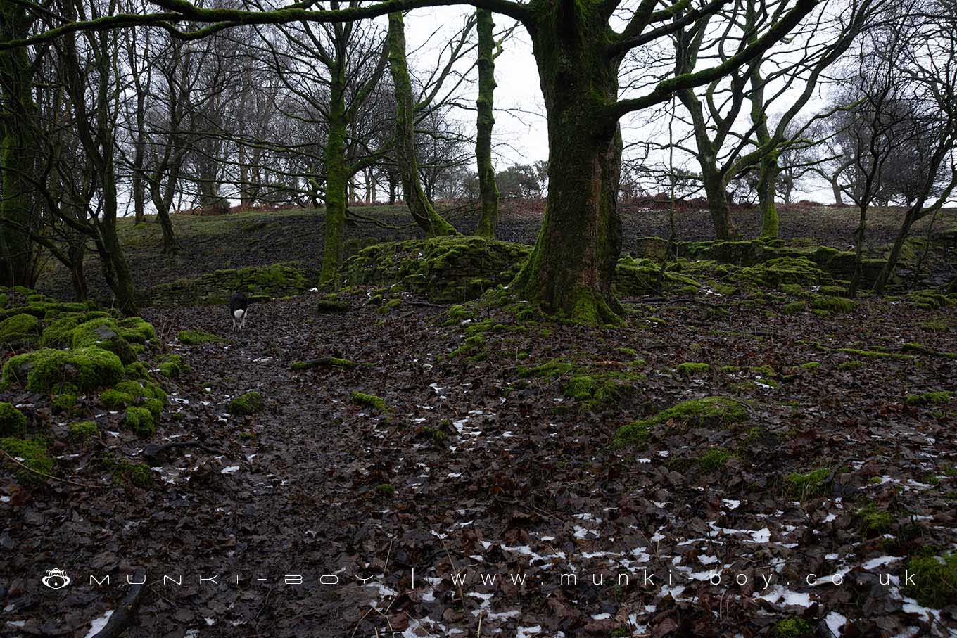
A few low, ruined walls of an 18th Century or earlier farmhouse are all that remain of Ripping, probably an old farm that was in use until the early 20th Century with a single building probably a barn or cottage remaining intact after the main building became derelict.
There’s not much to see but the ruin is right beside the small lane leading into Brinscall woods and passed often by walkers.
Created: 16 January 2020 Edited: 29 November 2023
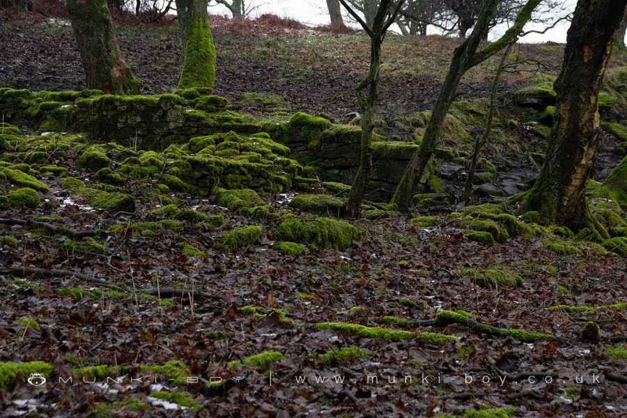
Stone Walls at the Ruins of Ripping
Ripping (ruin)
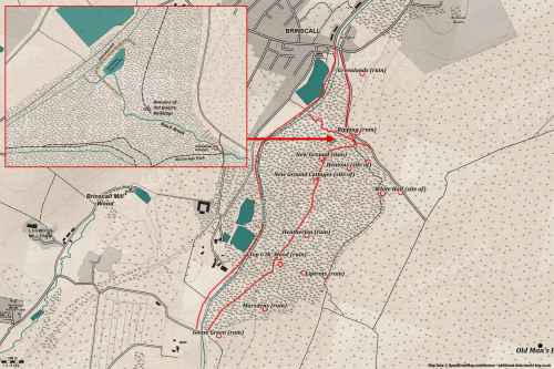
Ripping (ruin) LiDAR Map

Contains public sector information licensed under the Open Government Licence v3.0
Walks in Ripping (ruin)
Local History around Ripping (ruin)
There are some historic monuments around including:
Round cairn on Noon HillPike Stones chambered long cairnPart of Witton Old Hall medieval lordly residence 340m north east of Feniscliffe BridgePleasington alum worksRound cairn on Winter HillBretters Farm moated site and two fishpondsRound Loaf bowl barrow on Anglezarke Moor.


