Sculptures in Outwood Country Park by munki-boy
Outwood Country Park
Created: 18 August 2019 Edited: 29 November 2023
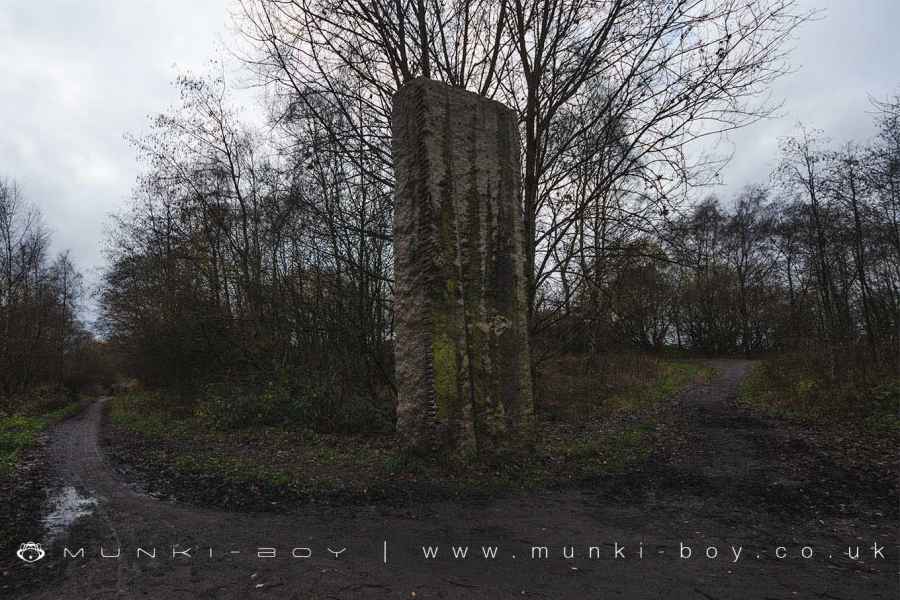
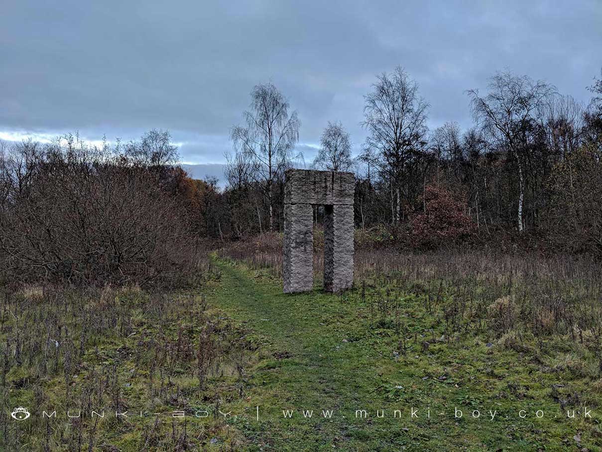
Stone Monolith Sculpture are Outwood Trail
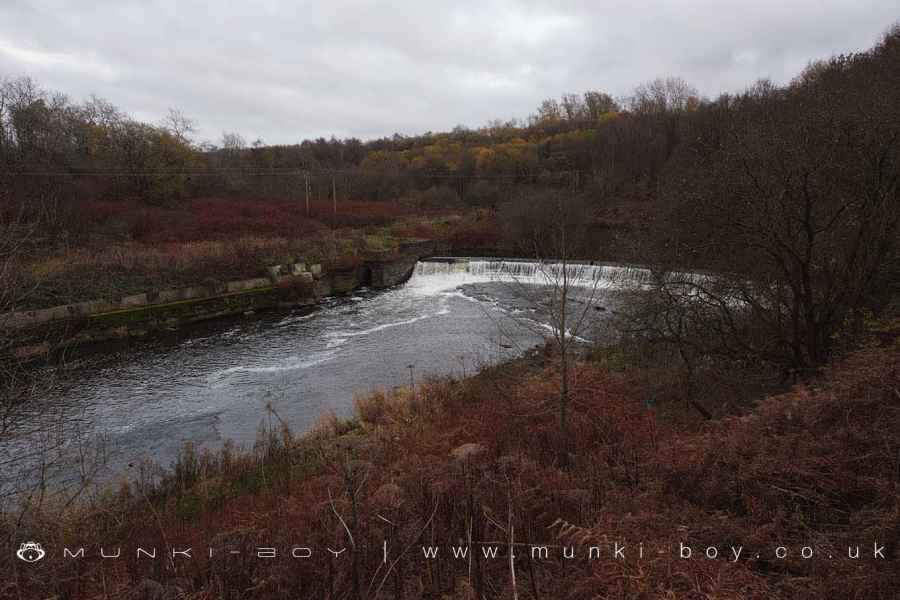
An old weir and tunnel on the Irwell at Outwood Park
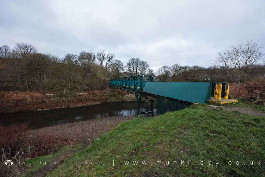
Footbride over the Irwell at Outwood Country Park
Outwood Country Park Information
Outwood Country Park Address
Radcliffe, Manchester
M26 1DD
Irwell (Roch to Croal) Details
Irwell (Roch to Croal)
Irwell (Roch to Croal) is a river in Greater Manchester
Irwell (Roch to Croal) takes in water from an area around 20.107 km2 in size and is part of the Croal Irwell catchment area.
Irwell (Roch to Croal) is 7.771 km long and has been heavily modified by industry in the past.


Local History around Outwood Country Park
There are some historic monuments around including:
Ringley Old BridgeAffetside Cross at Affetside 75m north west of the Pack Horse InnWardley Hall moated site, WorsleyPromontory fort called Castlesteads on the east bank of the Irwell 550m SSE of Banks FarmMedieval moated site and later fortified manor house known as Bury Castle 100m west of the parish churchCanal tunnel entrances and wharfRadcliffe Tower and site of hall 100m south west of the parish church in RadcliffeLime kiln and associated culvert 50m north of Worsley Methodist Church.