
Heather on Burnt Edge by munki-boy
Burnt Edge
Burnt Edge is a gritstone ridge on the south part of Winter Hill that gives its name to the area below, where Dean Brook forms from many small tributaries.
The area was historically known for fireclay and coal, and farming but is now part of the Smithills Estate and used for recreation, hiking and wildlife.
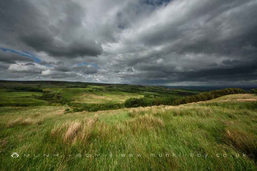
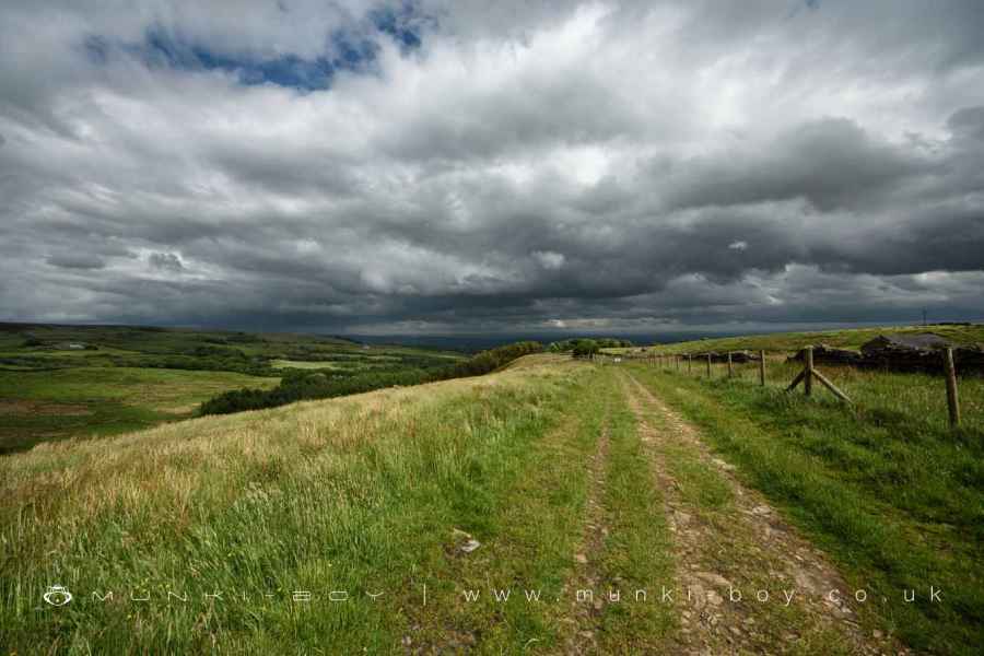
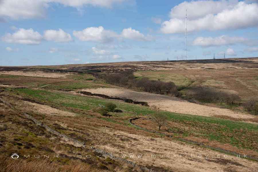
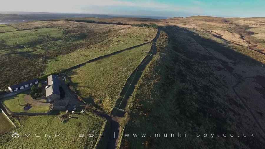
Burnt Edge is situated at the extension of Dean Brook Valley, reaching the higher elevations of Winter Hill. This location marks the transition from cultivated land to open moors. It offers expansive views across the valley, encompassing Bolton and various towns and cities, extending to the Peak District and Yorkshire.
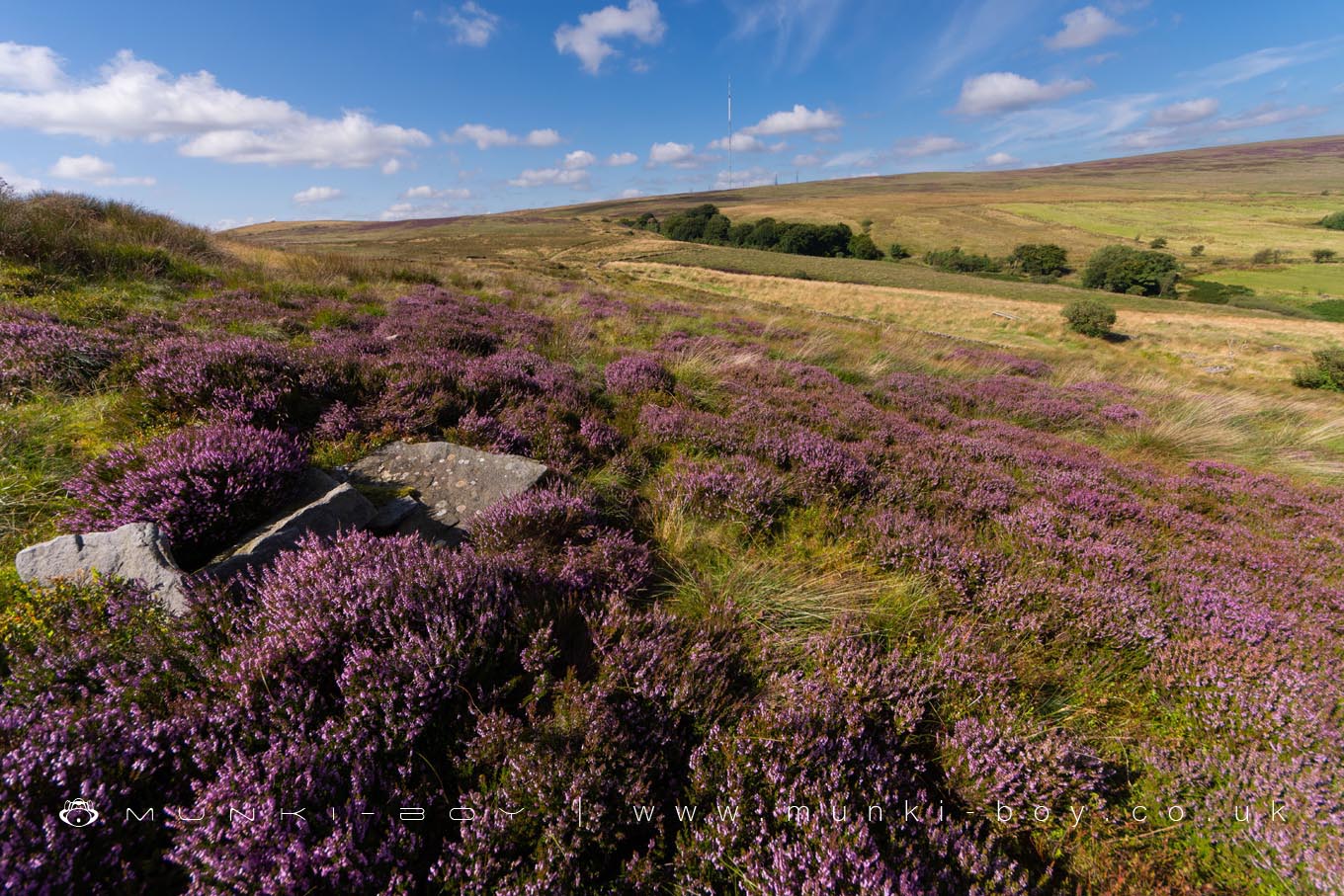
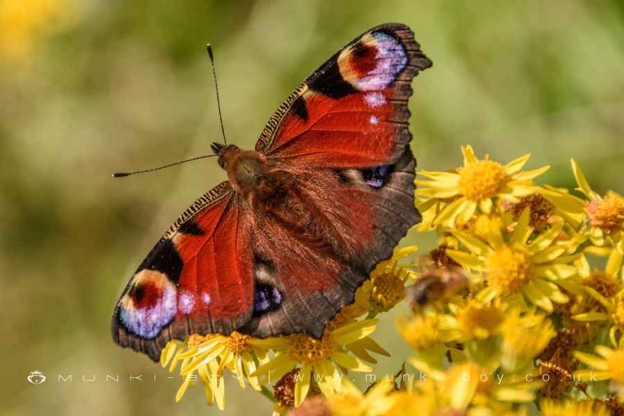
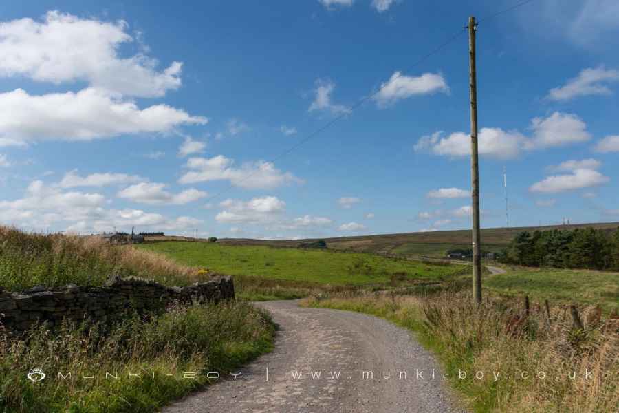
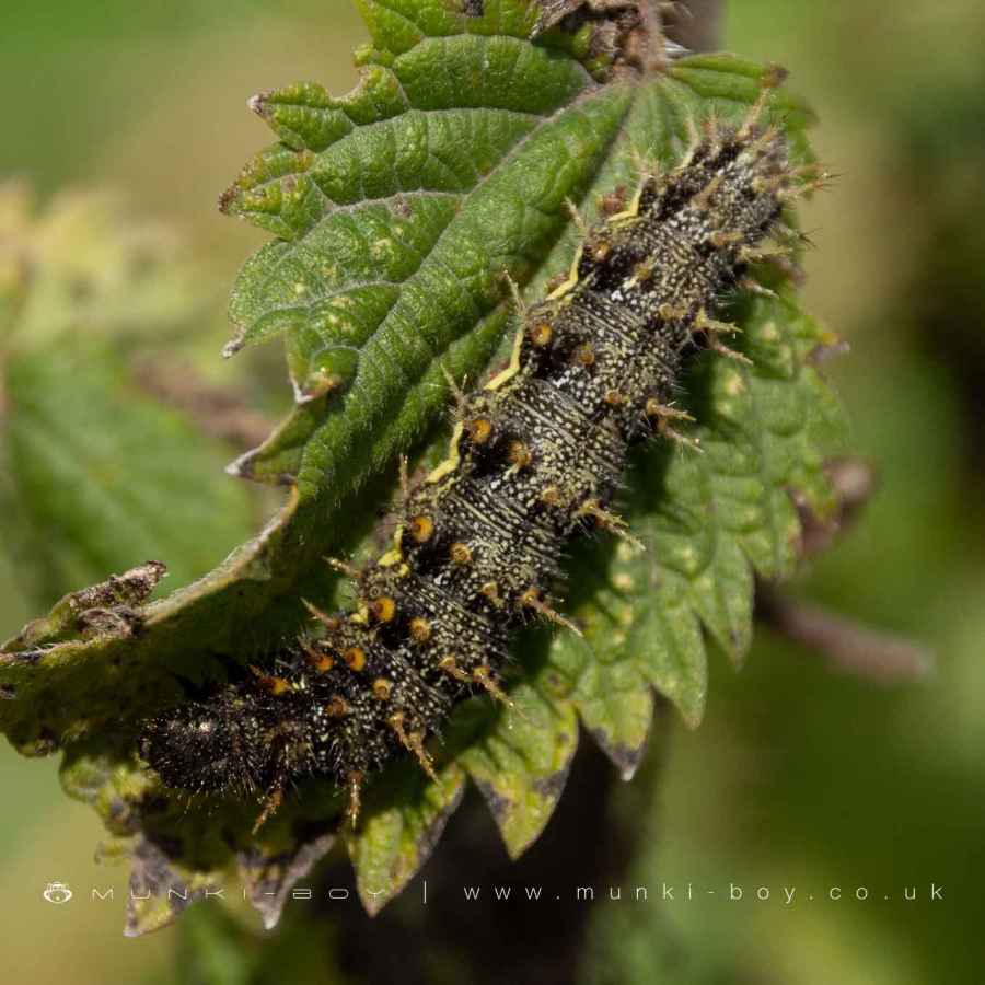
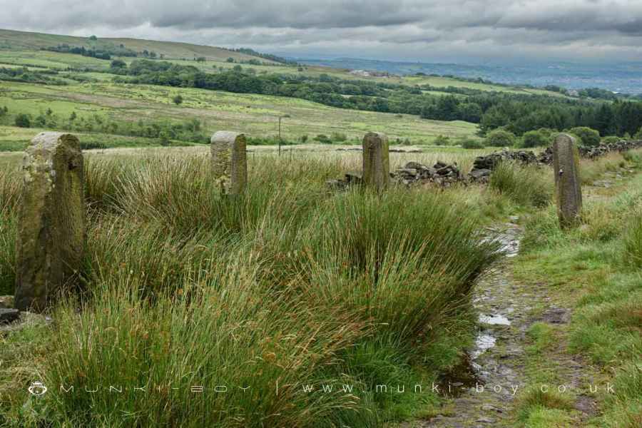
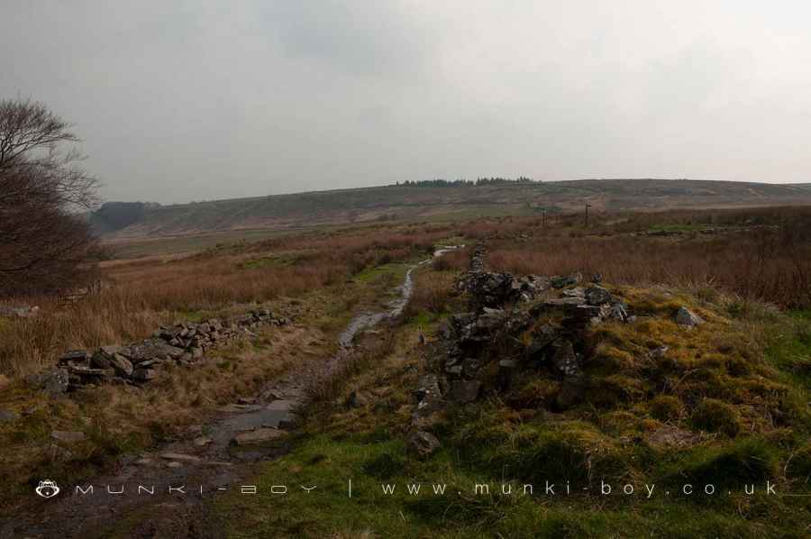
The area’s terrain is mixed, with rocky patches and paths resembling dry stream beds, though more navigable paths can be found around its perimeter and near Holden’s Farm, despite some wet sections. The landscape predominantly consists of rough moorland grass and rushes, supporting a diverse range of wildlife and plant life.
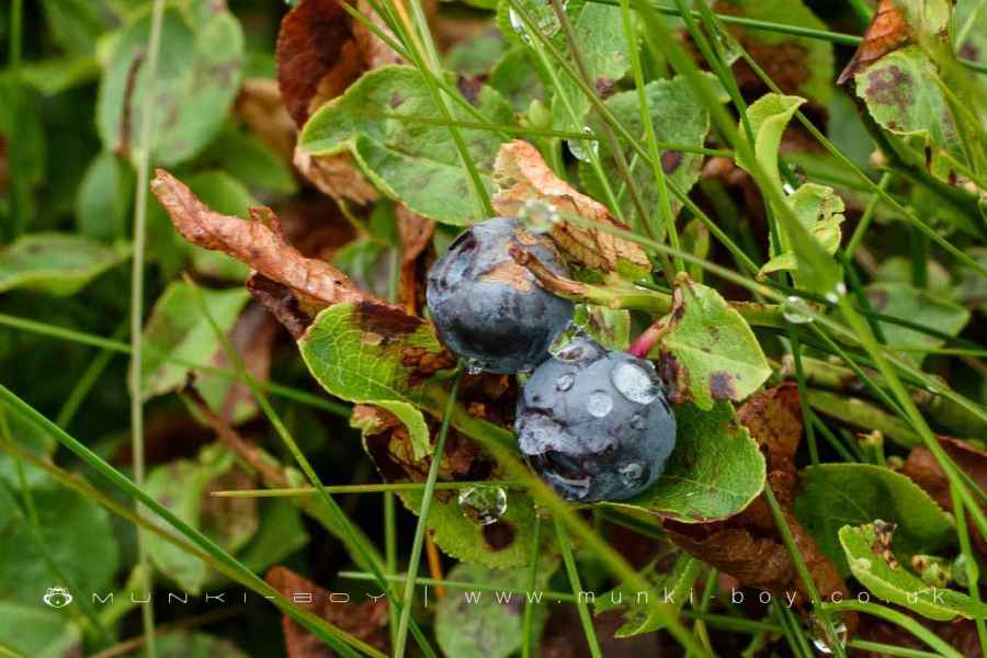
Historically, the name “Burnt Edge” (or “Brunt Edge” in the local dialect) specifically referred to a steep southern slope, characterized by dark, dry heather that resembled burnt vegetation. Changes over time have seen a decrease in heather and an increase in rushes and Whimberry plants. The moors are prone to fires in dry conditions, which may have influenced the area’s name.
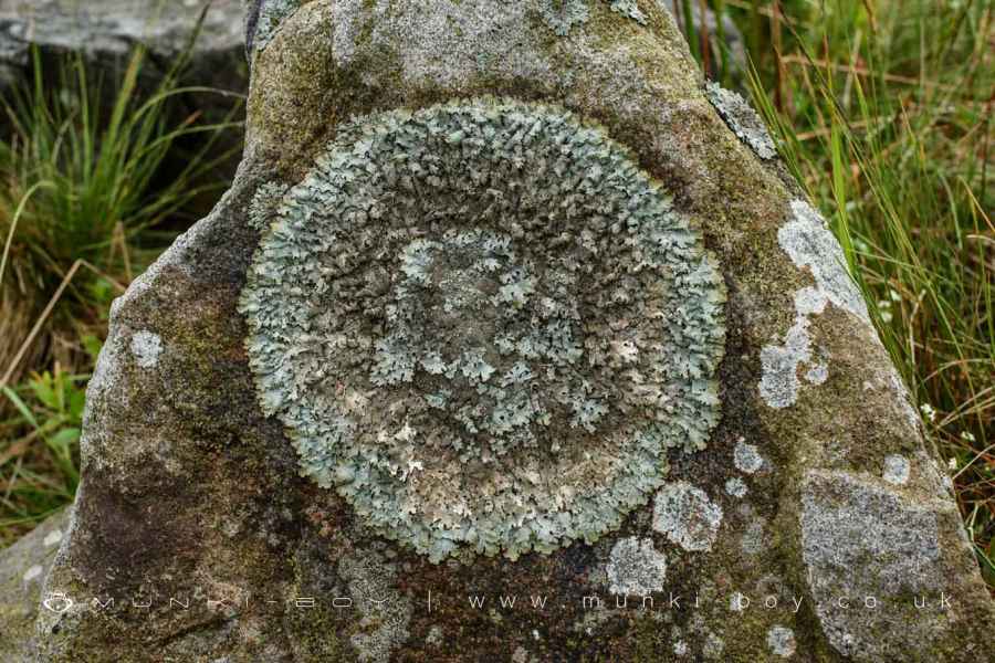
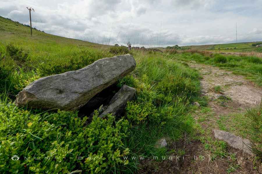
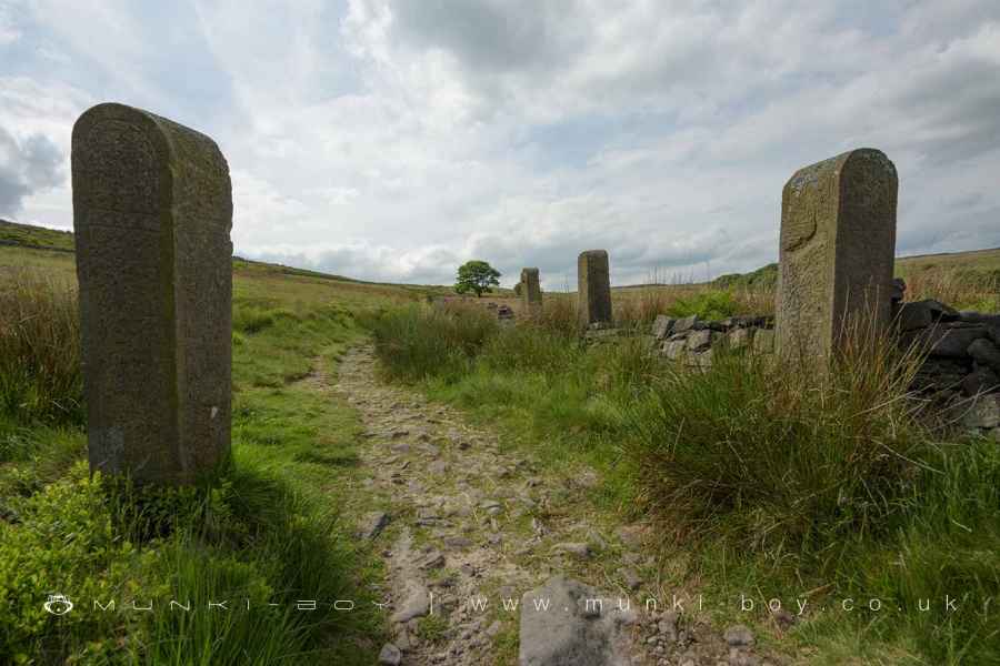
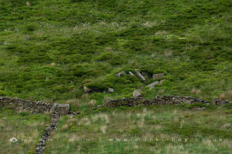
To the west, at Burnt Edge’s base, lie the remains of Burnt Edge Farm, including trees, collapsed walls, and gate posts. Nearby, a mound once containing farm refuse, pottery, and old bottles has disappeared, now covered by grass. A notable geological feature in the area is a stone with “slickensides,” markings caused by the sliding of rock faces against each other due to geological faults. This indicates significant geological activity, distinguishing between naturally worn rocks and those shaped by human or geological processes.
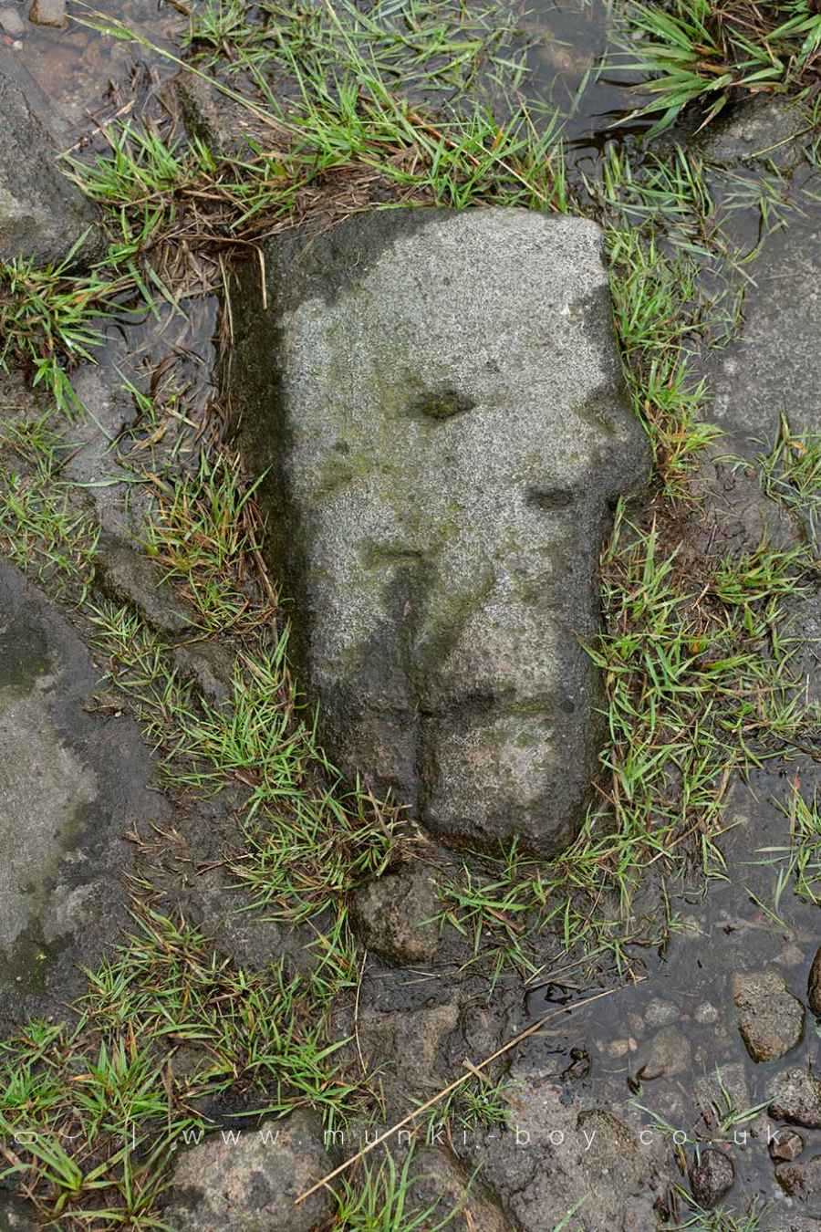
The region is known for its historical significance, including a rock with a carved cross found between Burnt Edge Farm and Walker Fold Woods, which might have marked a meeting spot for persecuted Christians during various historical periods. These markers are found across the area, including at old farm sites and prehistoric locations, suggesting a rich cultural and historical legacy.
Created: 29 March 2024 Edited: 28 April 2024

Burnt Edge

Burnt Edge LiDAR Map

Contains public sector information licensed under the Open Government Licence v3.0
Local History around Burnt Edge
There are some historic monuments around including:
Round cairn 280m west of Old Harpers FarmRound cairn on Winter HillRound cairn on Noon HillPike Stones chambered long cairnGidlow Hall moated site, Aspull, 560m NNE of Pennington HallRound Loaf bowl barrow on Anglezarke Moor.


