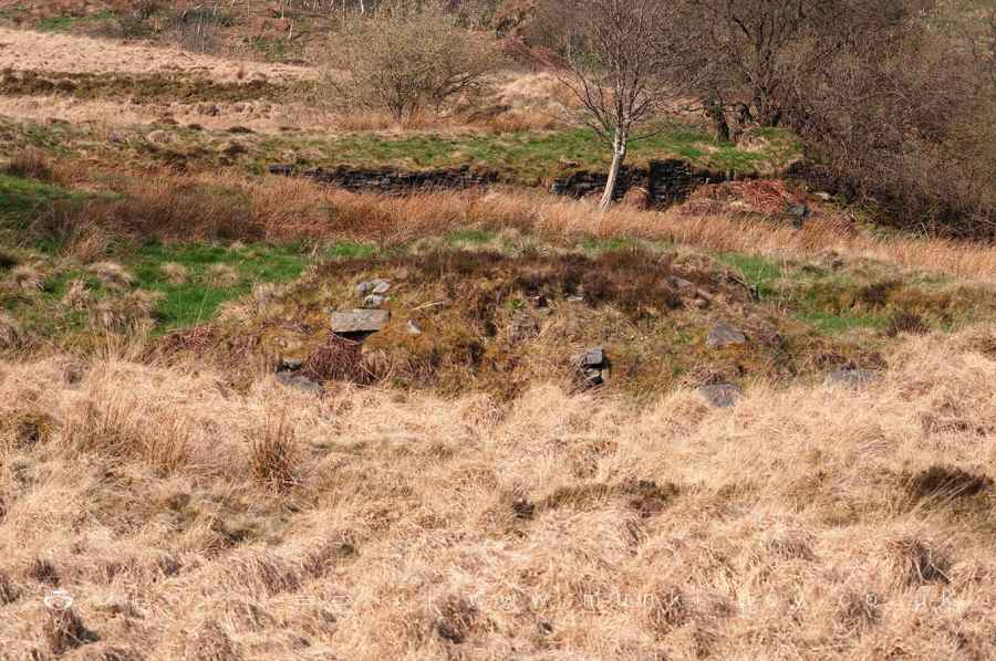
Site of Fireclay Brick Drying Room at Burnt Edge Colliery by munki-boy
Burnt Edge Colliery (ruin)
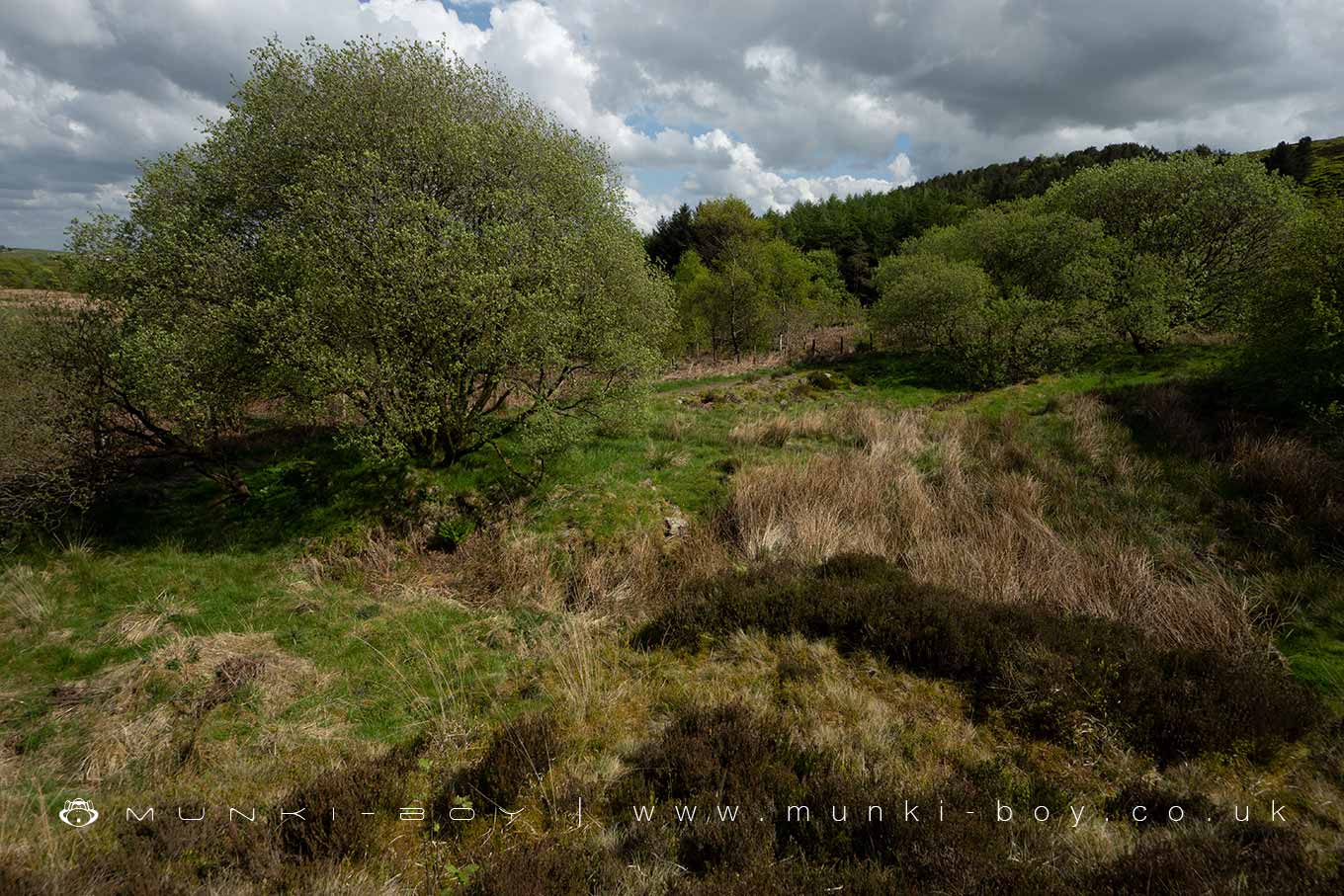
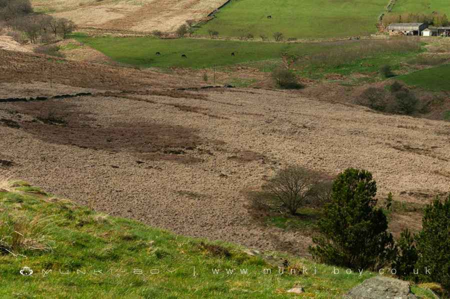
The first Burnt Edge Colliery, high on the moors above Bolton, was a single shaft together with a single building as can be found on other small sites in the area and usually a rectangular stone building with partitions inside, probably used for sorting coal as it came out of the ground. Some time later brick kilns and long drying sheds were added to process fireclay associated with the coal seams being mined. This is quite common practice at other sites in the area and often continues for some years after coal mining has become too expensive to continue.
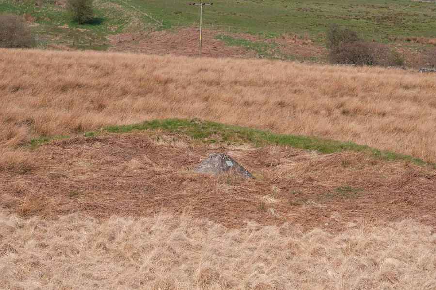
There is an old coal shaft which is still easy to identify due to it’s broken square fence next to the modern path. It isn’t properly capped and was probably infilled some time after the colliery closed. Because there’s a large void left underground around the bottom of the shaft the infill washes away over time so the ground over the top of the shaft could collapse in. The shaft here is possibly over 20 metres deep onto the Sand Rock and Six Inch mines. A visiting geologist in 1860 reported:
Black soil: 2ft
Gravel with water: 1ft6
Light (something) rock: 15ft
Blue stone rock: 33ft
Bone Coal: 1ft3
Warren Fireclay: 6ft
Coal: 2ft
Another report gives more details of the coal section
Flagstones and shale beneath the Rough Rock
Top Coal: 10inch
Black fireclay full of Stygmaria: 6inch
Grey fireclay (used for pottery): 2ft6
Hard cank: 1ft
Fireclay: 6inch
Bottom Coal: 2ft
Rough hard grit
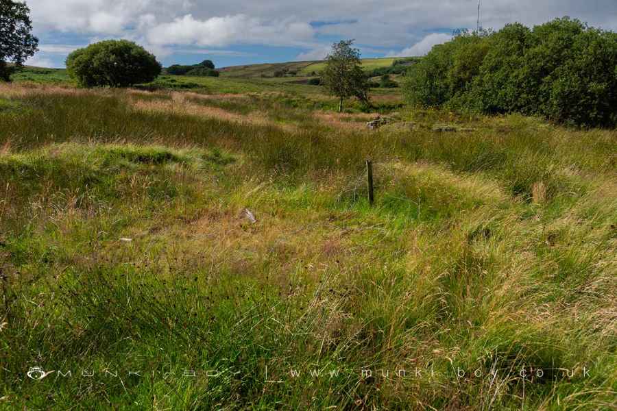
The mine extended some distance up towards the back of the ruined Burnt Edge Farm and probably was bounded by geological faults running in a sort of V shape towards the top of the stream valley. There’s an old air shaft in the middle of the field nearby, quite easy to spot with it’s large concrete NCB cap.
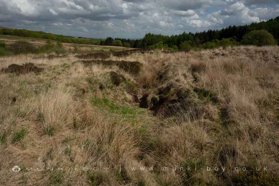
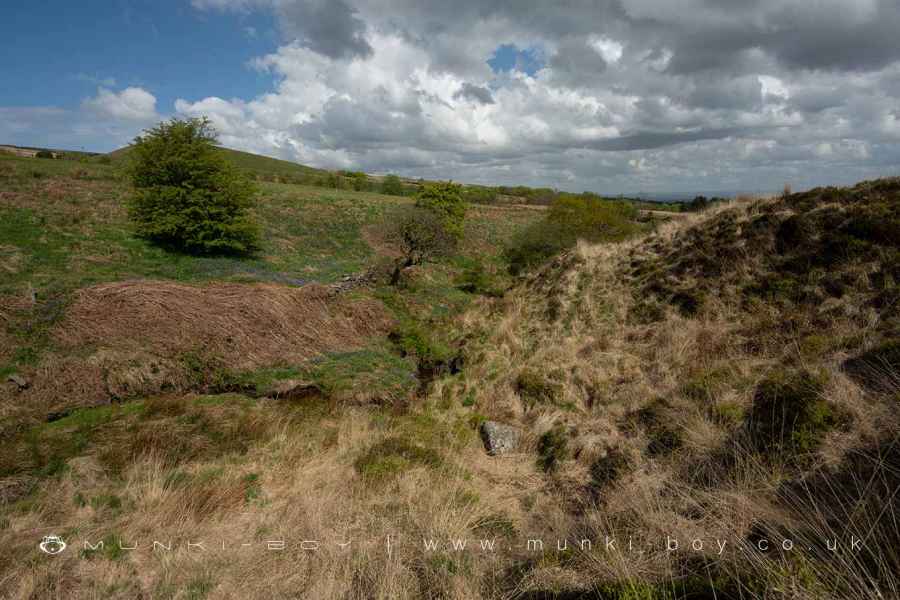
There are also the remaining earthworks of a large scale water management system above the old mine including large drainage channels with large boulders along each bank and the banks of a substantial reservoir. I imagine the purpose was to capture as much water as possible from the ground above the mine area so it didn’t seep down into the mine. Although it’s possible that the water could have been used to power machines for use in the brickworks.
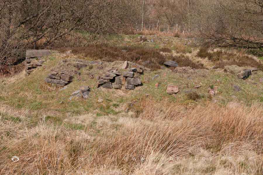
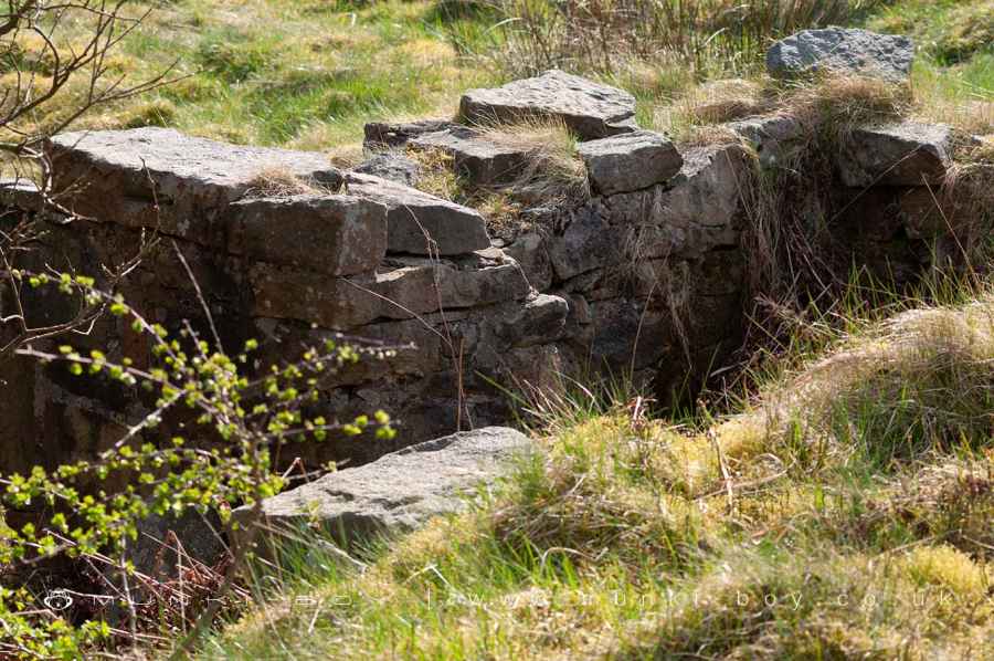
Burnt Edge Colliery Brickworks
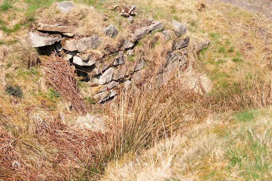
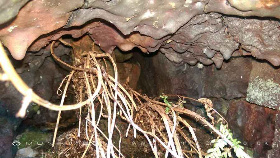
The brickworks at Burnt Edge Colliery above Bolton was quite extensive with large buildings, probably drying rooms with underfloor heating and at least two stone kilns, one of which is the largest of the old kilns I know of on the Winter Hill. There are many remaining stone walls and structures but much of the site is quite overgrown and it’s difficult to discern the purpose of the smaller ruins.
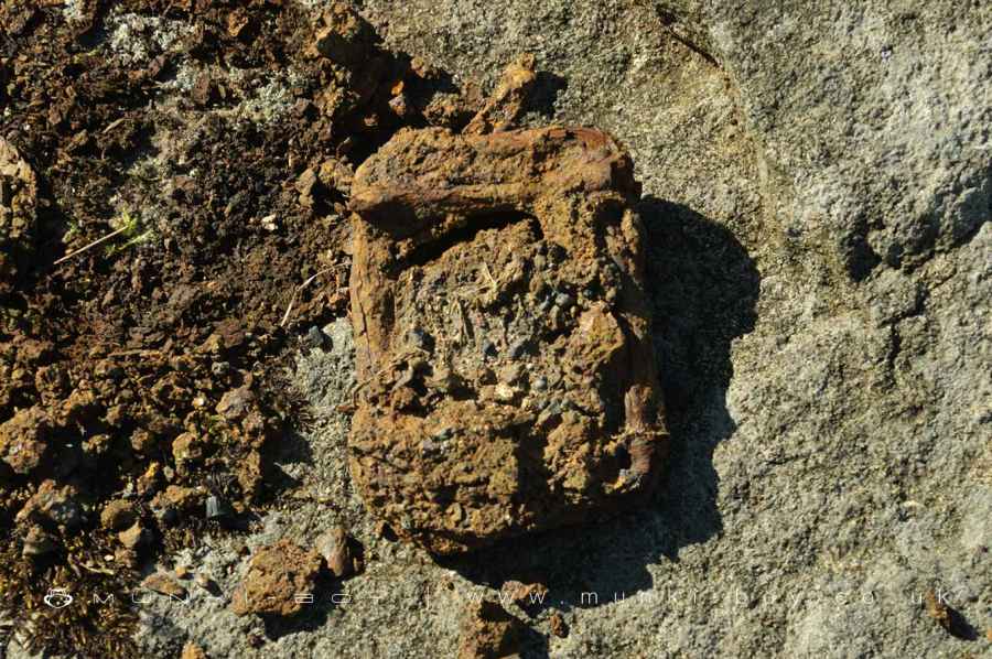
The kilns at Burnt Edge are ruinous but some internal structure survives, you can see in the image here, the deformation caused by intense heat and I fancy the bricks on the inside of the kiln look fresh and are probably from the last load in the kiln when brick production stopped.
By the time of the 1894 OS map the site is shown as disused but the reservoir is shown still holding water. I imagine the colliery was exhausted as mining reached the boundaries of the section of rock between the geological faults and couldn’t continue as the coal seams could have plunged deeper underground to a depth were mining would not be cost effective. The brickworks may have continued for some time after as the remaining fireclay was extracted and processed into bricks, the clay suitable for pottery was usually sold off to other companies and I’ve found no evidence of production of finer ceramics at any of the sites on Winter Hill.
Created: 4 April 2024 Edited: 4 April 2024
Burnt Edge Colliery (ruin)
Burnt Edge Colliery (ruin) LiDAR Map

Contains public sector information licensed under the Open Government Licence v3.0
Local History around Burnt Edge Colliery (ruin)
There are some historic monuments around including:
Gidlow Hall moated site, Aspull, 560m NNE of Pennington HallRound cairn on Noon HillRound cairn 280m west of Old Harpers FarmRound cairn on Winter HillPike Stones chambered long cairnRound Loaf bowl barrow on Anglezarke Moor.


