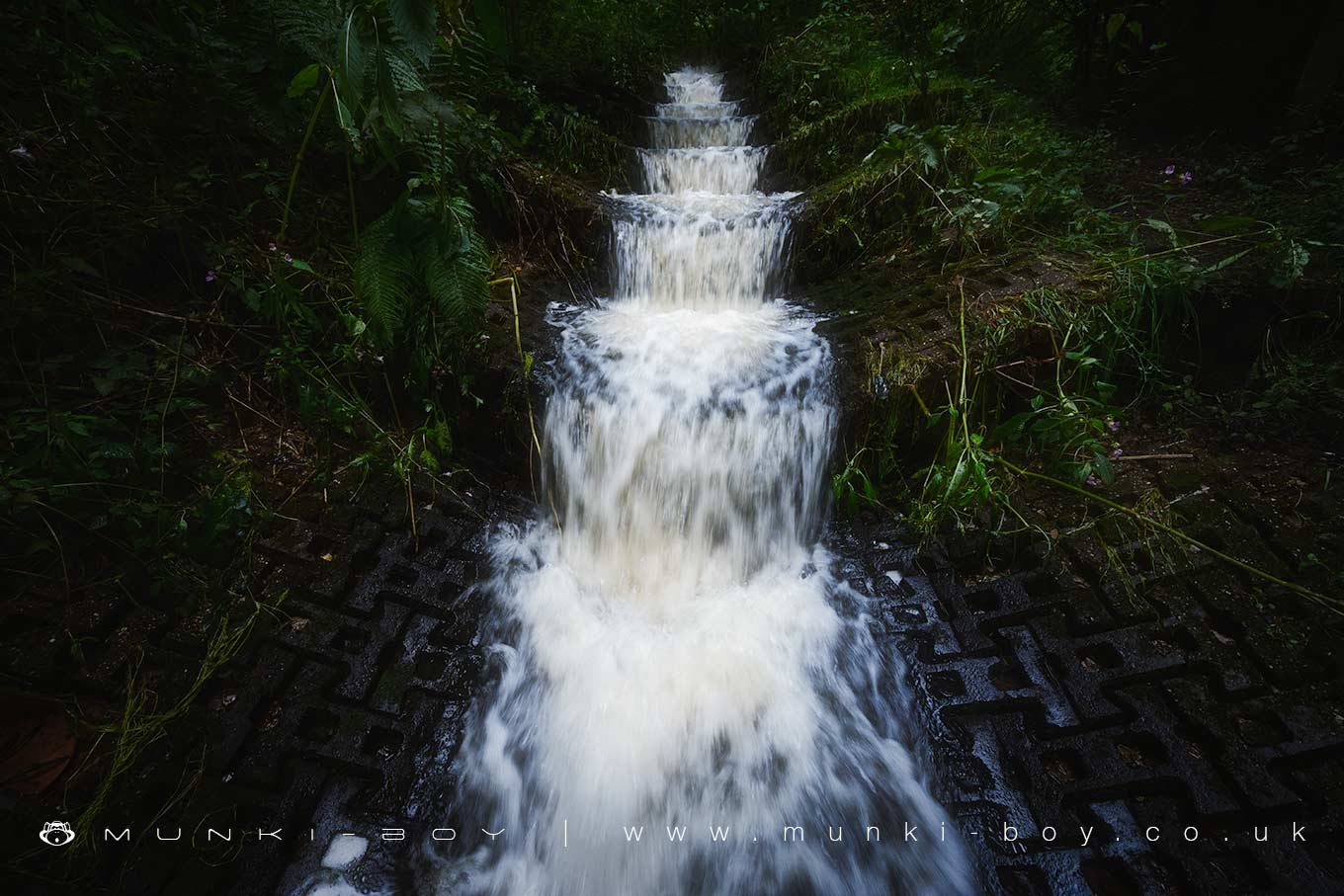
Yellow Brook Lower Waterfall by munki-boy
Yellow Brook Lower Waterfall
A tiny, artificial cascade over strange, interlocking blocks.
Some of the water here is from the old coal mines that is filtered upstream by a series of ponds and reed-beds that have been set up to remove iron from the water.
Not much to see here unless you’re passing but it looks nice enough - although there can be litter around.
Created: 28 August 2019 Edited: 29 November 2023
Yellow Brook Lower Waterfall
Yellow Brook Lower Waterfall LiDAR Map

Contains public sector information licensed under the Open Government Licence v3.0
Local History around Yellow Brook Lower Waterfall
There are some historic monuments around including:
Haigh Sough mine drainage portal, 310m west of Park HouseMoated site at Arley Hall, Haigh near WiganMarket cross in the marketplace to the west of St Wilfrid's Church, StandishThe Moat House moated site 600m WNW of St David's ChurchHeadless Cross, GrimefordGidlow Hall moated site, Aspull, 560m NNE of Pennington HallCross base on Green Lane 300m north of Strickland House Farm, StandishCross base on Standish Wood Lane 700m south east of Standish HallMabs Cross on Standishgate, 20m west of Mabs Cross School buildingCross base at the junction of Standish Green Lane, Standish Wood Lane and Beech Walk, 200m NNW of Strickland House Farm, Standish.