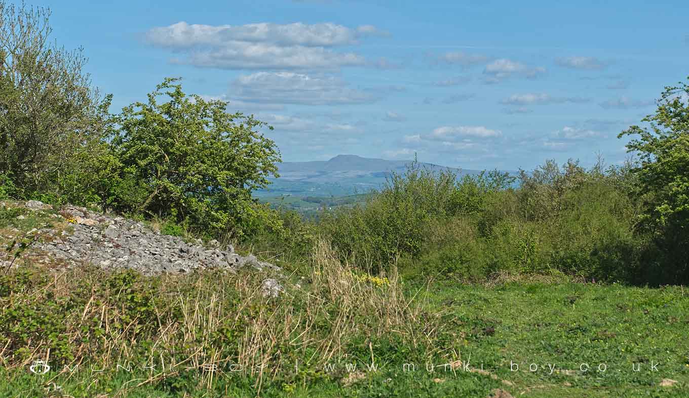
Warton Crag Multivallate Hillfort with Ingleborough Hillfort Beyond by munki-boy
Warton Crag Multivallate Hillfort
Despite a thick covering of trees and vegetation, Warton Crag small multivallate hillfort survives reasonably well. It remains largely unencumbered by modern development, and will retain evidence for the settlement within the hillfort’s interior and for the construction methods and phasing of the ramparts. It is a rare example of a small multivallate hillfort in north-west England and one of only three examples of this class of monument in Lancashire.
The monument is an Iron Age small multivallate hillfort containing remains of stone huts located on the summit of Warton Crag overlooking Morecambe Bay. It includes a sub-rectangular enclosure of approximately 3.2ha in extent occupying the summit of the crag, and is defended by a combination of rock scarps and steep slopes to the south and west, and three stone ramparts to the north and east. The ramparts measure between 3m-7m wide and are up to 1.3m high and are set roughly parallel to each other and approximately 50m-60m apart. Within the enclosure are boulder foundations of three sub-rectangular huts constructed against a long low rock escarpment. Immediately outside the inner rampart a further two hut foundations are located against the same escarpment. To the south, below the main summit of the crag, faint traces of a bank and ditch have recently been observed along the edge of a limestone shelf. To the north of the outer rampart antiquarian sources noted the existence of numerous oval tumuli. These are no longer clearly visible as earthworks, but below ground remains, including the remains of any deep burial pits, are anticipated to survive well. The summit cairn, which is a modern construction, and all walls and fences are excluded from the scheduling but the ground beneath these features is included.
Warton Crag Multivallate Hillfort is in Arnside & Silverdale AONB, a designated Area of Outstanding Natural Beauty.
Created: 11 March 2021 Edited: 29 November 2023
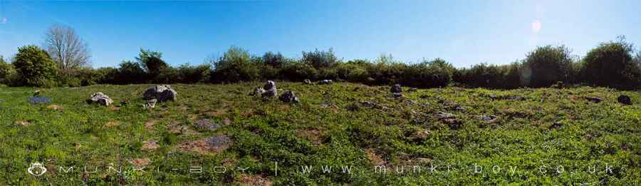
Warton Crag Multivallate Hillfort
Warton Crag Multivallate Hillfort LiDAR Map

Contains public sector information licensed under the Open Government Licence v3.0
Local History around Warton Crag Multivallate Hillfort
There are some historic monuments around including:
Warton Crag small multivallate hillfortStone circle on Summerhouse HillHazelslack TowerArnside TowerBeetham Hall (curtain wall and uninhabited portion)Round cairn on Summerhouse HillCappleside Hall medieval lordly residence 600m north east of Beetham HouseWarton Old RectoryMoated site and fishponds E of Upp Hall Farm.Badger Hole, Warton CragDog Holes CaveRound cairn 230m east of Manor Farm.


