
Trough of Bowland by munki-boy
Trough of Bowland
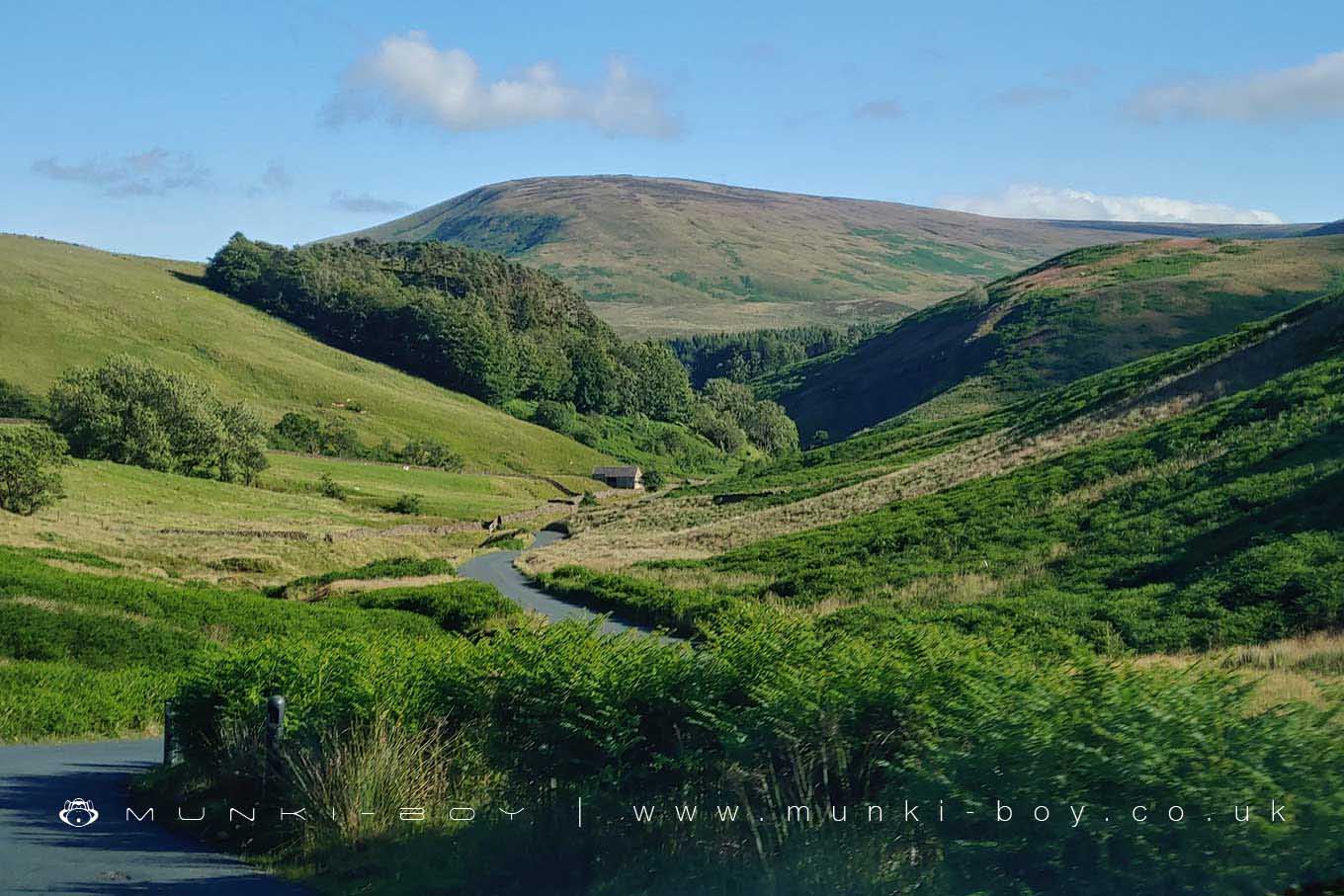
The Trough of Bowland is part of the Forest of Bowland Area of Outstanding Natural Beauty in Lancashire, England. The pass through the trough reaches 968 ft (295 m) above sea level and links to Wyresdale. The trough is drained by the River Wyre which flows west through the Bowland Fells to the Irish Sea.
The trough was formed during the last ice age when glaciers carved out the landscape. The steep sided valleys and high passes are a typical feature of glaciated landscapes. Today, the trough is popular with walkers and cyclists who come to enjoy the stunning scenery.
There are many different routes that can be taken through the trough, depending on your fitness levels and how much time you have. Whether you’re looking for a challenging hike or a leisurely stroll, the Trough of Bowland has something for everyone.
The trough is a popular destination for walkers and cyclists, offering stunning views of the surrounding countryside. There are a number of ancient monuments and sites of historical interest in the area, making it a fascinating place to explore.
So, if you’re looking for a picturesque place to enjoy the great outdoors, the Trough of Bowland is well worth a visit.
Trough of Bowland is in Forest Of Bowland AONB, a designated Area of Outstanding Natural Beauty.
Created: 17 July 2022 Edited: 29 November 2023
Trough of Bowland
Trough of Bowland LiDAR Map

Contains public sector information licensed under the Open Government Licence v3.0
Local History around Trough of Bowland
There are some historic monuments around including:
Round cairn on Parlick Pike.


