
Tiverton
Tiverton
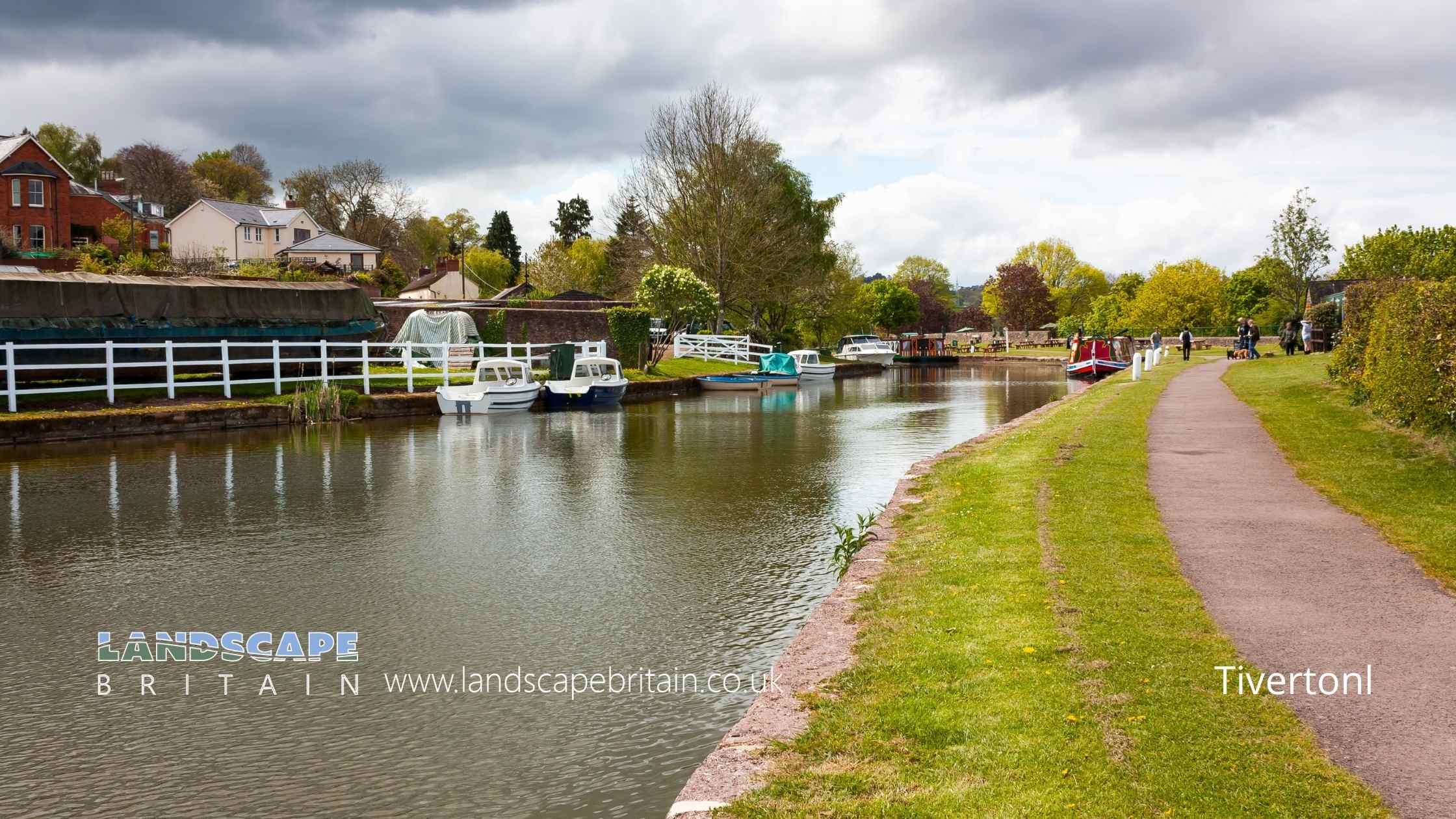
Tiverton is a town on the River Exe in Devon, England. The town is on the west bank of the River Exe, about 1 mile (1.6 km) from its confluence with the River Culm.
The name Tiverton derives from Twy-ford-ton or Tweforton, meaning ‘the town on two fords’, and was historically known as Twyford. The first record of Tiverton Castle dates from 1106, although it is probable that there were earlier fortifications on the site. The castle was built by order of Henry I, who put into effect his father’s wishes that he secure this strategically important crossing point of the River Exe on the main route from London to Cornwall.
In 1140, Tiverton Castle was besieged and captured by King Stephen of England. The town’s defences were subsequently strengthened and the castle rebuilt in stone. The town became an important regional market town, handling much of the trade in wool from Devon. By the end of the medieval period, it was one of the wealthiest towns in Devon.
The town’s market charter dates from 1256, and its status as a borough was confirmed by a charter of Edward III in 1334. Market Street is lined with 17th- and 18th-century buildings, including the Town Hall (1750) and the Chapel of St Lawrence (1754). The Guildhall is a 14th-century building that was extensively remodelled in the 17th century.
The town has a number of historic buildings, including Tiverton Castle, which was built in the 11th century by order of William the Conqueror. The castle was greatly enlarged in the 13th century and again in the 15th century.
Created: 10 September 2022 Edited: 29 November 2023
Tiverton
Exe (Creedy to Estuary) Details
Exe (Creedy to Estuary)
Exe (Creedy to Estuary) is a river in Devon
Exe (Creedy to Estuary) takes in water from an area around 13.404 km2 in size and is part of the Exe Main catchment area.
Exe (Creedy to Estuary) is 5.187 km long and has been heavily modified by industry in the past.
Local History around Tiverton
There are some historic monuments around including:
An Iron Age defended settlement and associated cultivation terraces 230m south west of Cadeleigh CourtStanding cross in St Michael and All Angels' churchyard 32m north east of the churchRoman Fort, Bolham HillTiverton Castle (uninhabited buildings)Castle CloseHuntsham CastleBowl barrow 260m north west of Putson CrossThe Great House, Peter StreetCadbury CastleAn Iron Age defended settlement associated with prehistoric and medieval settlements immediately south east of Cadeleigh CourtLong barrow immediately north of Blenheim House, 310m south west of Putson CrossCranmore Castle.


