Therfield
Therfield
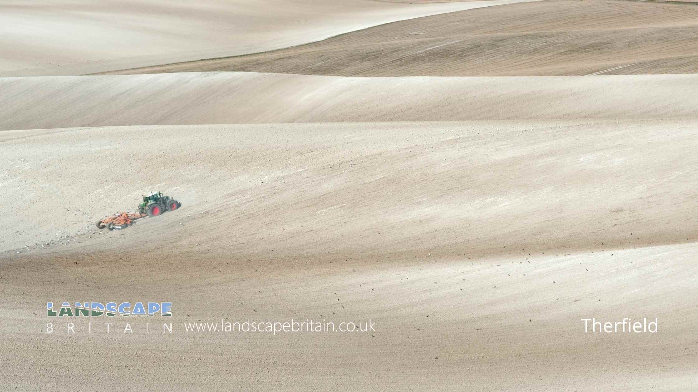
The village of Therfield in Hertfordshire is located on the chalk range, three miles southwest of Royston.
The village is located in the East Hertfordshire district and is part of the North Hertfordshire constituency.
Created: 13 August 2022 Edited: 29 November 2023
Therfield
Local History around Therfield
There are some historic monuments around including:
John o'Gaunt's House: a motte castle and moated site 300m NE of Haygate FarmBury Yard moated site adjacent to MilldykeBowl barrow 205m SSE of Lodge CottageMoated site, Goodfellows.Two bowl barrows: part of the round barrow cemetery on Therfield HeathBush Wood moated site and hollow-waySite of Cumberlow Manor HouseBowl barrow: one of two round barrows on Pen HillsReed Hall moated site, ReedGallows Hill barrowMoated site in Boybridge Grove, 720m north east of Down Hall FarmEarl's Hill bowl barrow: part of the round barrow cemetery on Therfield HeathSites revealed by air photographyMile ditchesBowl barrow, known as Grinnel Hill, 260m SSE of Lodge CottageBowl barrow: part of the round barrow cemetery on Therfield HeathPond barrow: one of two round barrows on Pen HillsDown Hall GatehouseLong barrow on Therfield HeathHankins Moated Site, Roe GreenBell barrow 500m south of Morden Grange PlantationBowl barrow 550m north east of Slip End FarmGannock Grove moated site and hollow-wayFive bowl barrows: part of the round barrow cemetery on Therfield HeathMile DitchesMotte and bailey castle and associated earthworks 100m south of Tuthill Farm'The Mount'Springfield style enclosure, three bowl barrows and two pond barrows on Whiteley HillBowl barrow 1km south-west of Heath Farm: part of the round barrow cemetery on Deadman's HillBell barrow: part of the round barrow cemetery on Therfield HeathTriple ditches at Galley HillRing ditches and enclosure at Slip EndRoyston CaveDouble moat and fishpond, QueenburyCausewayed enclosure and two ring ditches 140m south-east of New Farm.


