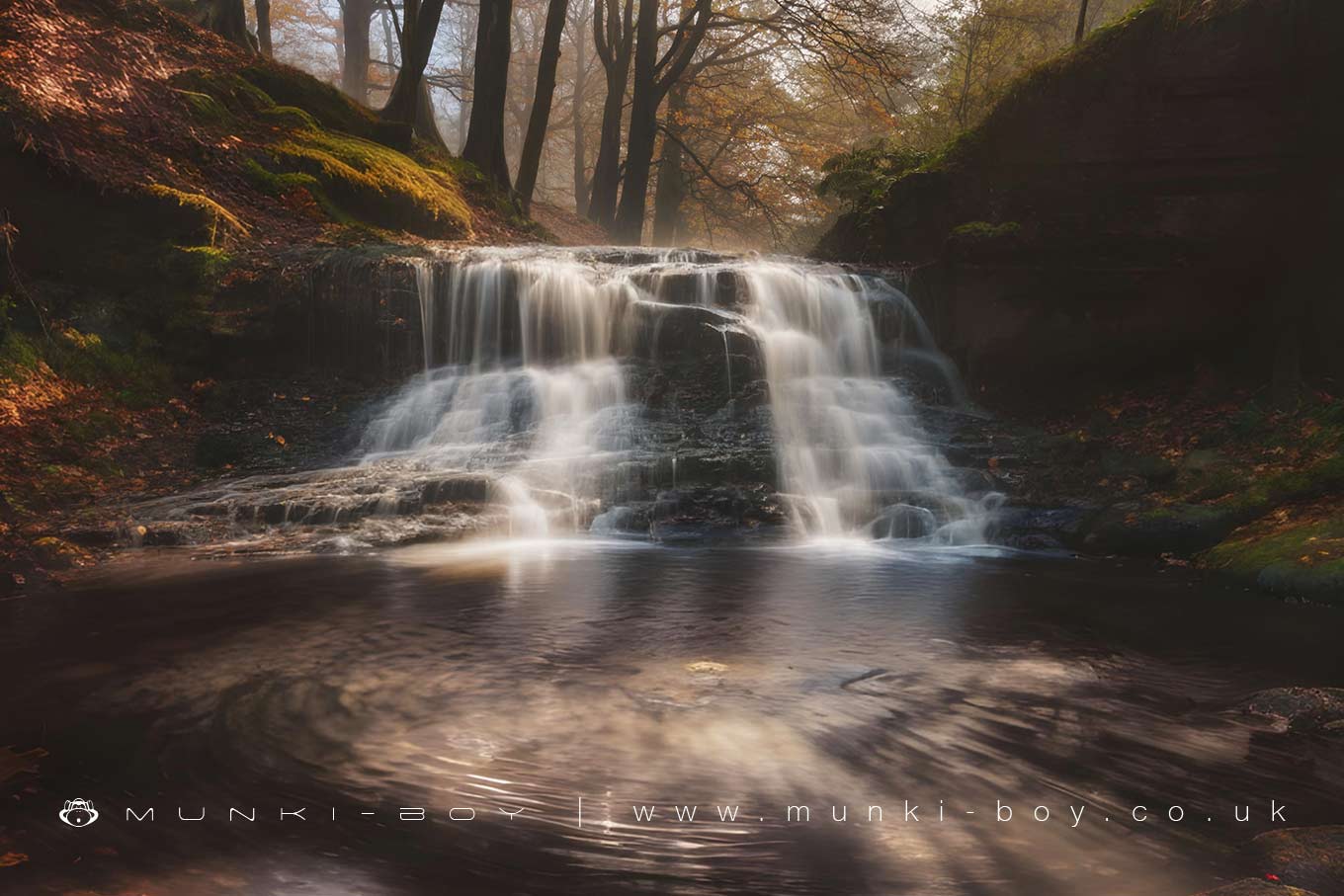
River Roddlesworth Upper Waterfall by munki-boy
River Roddlesworth Upper Waterfall
The furthest upstream waterfall of note on the River Roddlesworth is found from a little detour off the old Mill Lane in Roddlesworth Woods.
Situated as many local waterfalls are, in what appears to be the boundary of a geological fault and probably modified by industry a couple of hundred years ago the waterfall is easily viewed from the path on the west bank of the river. Water volume over the River Roddlesworth waterfalls varies from disappointing to manic after wet weather.
Created: 12 April 2019 Edited: 29 November 2023
River Roddlesworth Upper Waterfall
River Roddlesworth Details
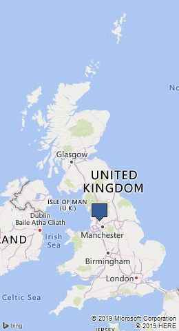
River Roddlesworth
River Roddlesworth is a river in Lancashire
River Roddlesworth takes in water from an area around 14.486 km2 in size and is part of the Darwen catchment area.
River Roddlesworth is 6.483 km long and is not designated artificial or heavily modified.
River Roddlesworth Upper Waterfall LiDAR Map

Contains public sector information licensed under the Open Government Licence v3.0
Local History around River Roddlesworth Upper Waterfall
There are some historic monuments around including:
Round cairn on Noon HillSteam tramway reversing trianglePike Stones chambered long cairnRound Loaf bowl barrow on Anglezarke MoorRound cairn on Winter HillHeadless Cross, GrimefordPart of Witton Old Hall medieval lordly residence 340m north east of Feniscliffe Bridge.