Renfrew
Renfrew
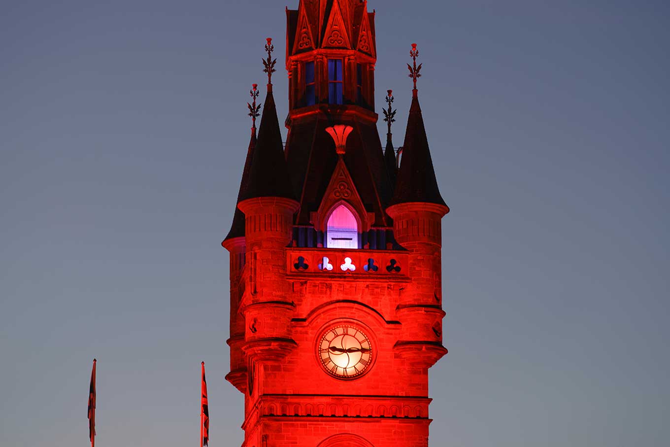
The town of Renfrew is located in Scotland and is a great place to visit if you are interested in history. The town was founded in the 12th century and has a lot of interesting historical sites to see.
If you’re looking for something to do in town, be sure to check out the Renfrew Museum and Art Gallery, which has exhibits on local history and art.
And don’t forget to stop by one of the local pubs for a pint of beer!
Created: 12 November 2022 Edited: 29 November 2023
Renfrew
Local History around Renfrew
There are some historic monuments around including:
Forth and Clyde Canal: Blairdardie Road - Netherton Farm Industrial: inland water SM6775Paisley Abbey, drain 75m SSW of Ecclesiastical: precincts SM8078Bearsden Station,Roman bath-house 400m NE of Roman: Antonine Wall SM90334Stanely Castle Secular: castle SM5258Forth and Clyde Canal: Duntreath Avenue - Blairdardie Road Industrial: inland water SM6776Antonine Wall, SW of Carleith to N of Carleith Primary School Roman: Antonine Wall SM7069Antonine Wall, Iain Road to path N of Westbourne Crescent Roman: Antonine Wall SM6899Antonine Wall, Golden Hill Park, Roman fort, annexe and bathhouse Roman: Antonine Wall SM7070Antonine Wall,Bearsden,Roman fort Roman: Antonine Wall SM3662Rosshall Mains, enclosure 220m W of Prehistoric domestic and defensive: enclosure (domestic or defensive) SM12875Antonine Wall, Cleddans Burn to Peel Glen Road Roman: Antonine Wall SM6838Antonine Wall, Antonine Road to Rosslyn Road Roman: Antonine Wall SM6898Antonine Wall and fortlet, 950m W to 335m ENE of Cleddens Roman: Antonine Wall SM6836Forth and Clyde Canal: Netherton Farm - Cleveden Road Industrial: inland water SM6774Antonine Wall, Mt Pleasant Gas Governor to WNW of N Dalnottar Cemetery Roman: Antonine Wall SM7065Cochno, cup and ring marked stone 115m SW of Silver Firs Prehistoric ritual and funerary: cupmarks or cup-and-ring marks and similar rock art SM716Inchinnan, cross slabs & cross shaft Crosses and carved stones: cross (free-standing) SM1655Inchinnan, site of All Hallows Church Ecclesiastical: church SM2792Antonine Wall, N of North Dalnottar Cemetery Roman: Antonine Wall; Secular: settlement, including deserted, depopulated and townships SM7066Crookston Castle Secular: castle SM90085Newshot Island, River Clyde, remains of diving support vessel and dredging barges. Secular: shipwreck SM13692Antonine Wall, Mount Pleasant, 190m WSW to 215m SE of Netherclose Roman: Antonine Wall SM7064Forth and Clyde Canal: Linnvale - Duntreath Avenue Industrial: inland water SM6777Antonine Wall, Beeches Avenue, Duntocher Roman: Antonine Wall SM7160Antonine Wall, Peel Glen Road to Castlehill Roman: Antonine Wall SM6839.Wildlife in and Around Renfrew
Mammals found in Renfrew
There have been 42 species of mammals recorded in the renfrew area.
| 45 Khz Pipistrelle (Pipistrellus pipistrellus) |
| American Mink (Neovison vison) |
| Bank Vole (Myodes glareolus) |
| Brown Hare (Lepus europaeus) |
| Brown Rat (Rattus norvegicus) |
| 55 Khz Pipistrelle (Pipistrellus pygmaeus) |
| Badger (Meles meles) |
| Black Rat (Rattus rattus) |
| Brown Long-Eared Bat (Plecotus auritus) |
| Common Dormouse (Muscardinus avellanarius) |
Tap here for more mammals found in and around Renfrew
Birds found in Renfrew
There have been 171 species of birds recorded in the renfrew area.
| Arctic Tern (Sterna paradisaea) |
| Bar-Tailed Godwit (Limosa lapponica) |
| Barnacle Goose (Branta leucopsis) |
| Black Guillemot (Cepphus grylle) |
| Black-Headed Gull (Chroicocephalus ridibundus) |
| Bar-Headed Goose (Anser indicus) |
| Barn Owl (Tyto alba) |
| Bean Goose (Anser fabalis) |
| Black Swan (Cygnus atratus) |
| Black-Tailed Godwit (Limosa limosa) |


