Nidderdale by munki-boy
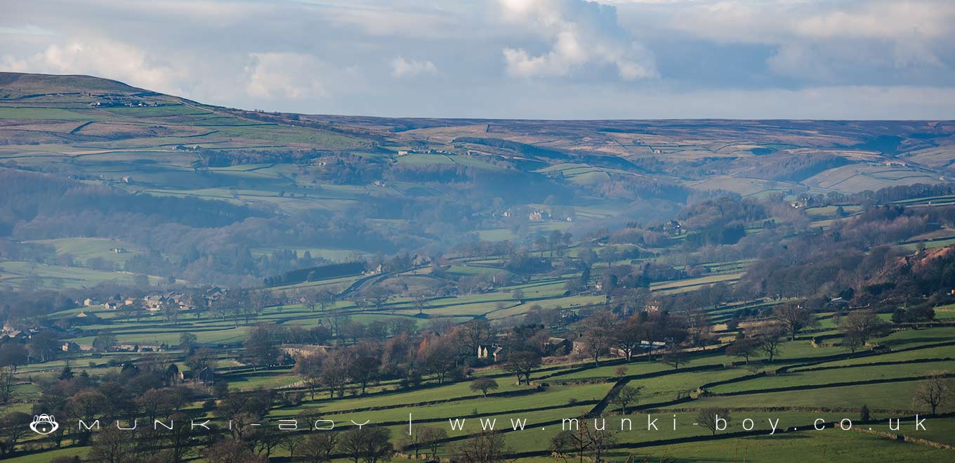
Nidderdale
Nidderdale is in Nidderdale AONB, a designated Area of Outstanding Natural Beauty.
Created: 2 December 2019 Edited: 29 November 2023
Nidderdale
Nidderdale LiDAR Map

Contains public sector information licensed under the Open Government Licence v3.0
Local History around Nidderdale
There are some historic monuments around including:
Rock with complex carving south west of a wall junction, 265m SSW of Far High WestcliffCup, ring and groove marked rock 80m south west of Druid's Cave FarmCup, ring and groove marked rock known as the Fertility Stone in wall 110m north of Eastwoods Farm, Dacre BanksBedrock with cup, ring and possible groove marks 45m south west of Eastwoods Farm, Dacre BanksRock with complex pattern of cup, ring and groove marks in wall 250m south of Far High WestcliffCup, ring and groove marked rock in wall 220m south of Far High WestcliffRock with one cup mark 200m north of Low Hood Gap, HeyshawRuins of St Mary's ChurchRock with at least three cup marks and a basin 100m south of Eastwood Farm, Dacre BanksCup and ring marked rock 16m north west of wall junction, 225m south of Far High WestcliffRock with cup, ring and groove marks in the west side of Guisecliff Wood, 420m south east of Far High WestcliffFortress Dyke campRock with three groove and three cup marks in base of wall east of track and 50m south of High Hood Gap, Heyshaw.