Millrigg Romano-British Enclosed Hut Circle Settlement by munki-boy
Millrigg Romano-British Enclosed Hut Circle Settlement
Millrigg Romano-British Enclosed Hut Circle Settlement is in The Lake District National Park in England.
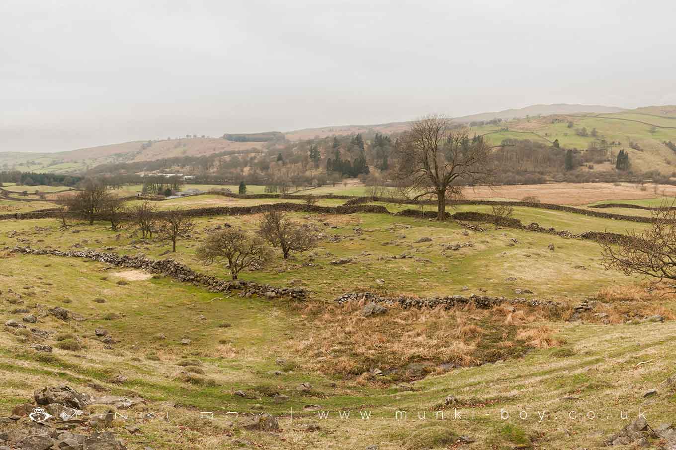
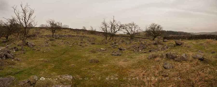
Millrigg Romano-British enclosed hut circle settlement, situated in the scenic landscape of Cumbria near Kendal, is a fascinating historical site offering insights into ancient settlement patterns and defensive architectures. This settlement, nestled on a small hillside terrace on the eastern side of the Kentmere valley, presents an irregular oval shape, indicative of the adaptive strategies employed by its ancient inhabitants to utilize the natural terrain for both habitation and defence.
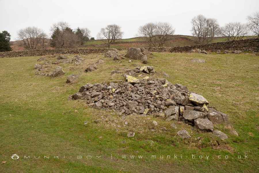
Central to the monument is an enclosure bank or wall, notable for its substantial construction. Measuring between 2 to 3 meters in thickness and rising to a height of up to 1 meter, this wall is a blend of large stones lining the edge and a compact infilling of small rubble. This design suggests a deliberate approach to fortification, balancing the need for robust defence with the practicalities of construction in a challenging landscape.
The settlement features four distinct entrances, each with its unique characteristics. Two of these entrances, located on the northeast and southeast sides, were later blocked, perhaps reflecting changes in defensive strategies or settlement patterns over time. The remaining north and west side entrances still stand open, inviting exploration of the interior layout. The southeast entrance, in particular, reveals a thoughtful defensive design, with the enclosure wall bending inward around the base of a small mound—a feature believed to be an additional defensive element guarding the gateway.
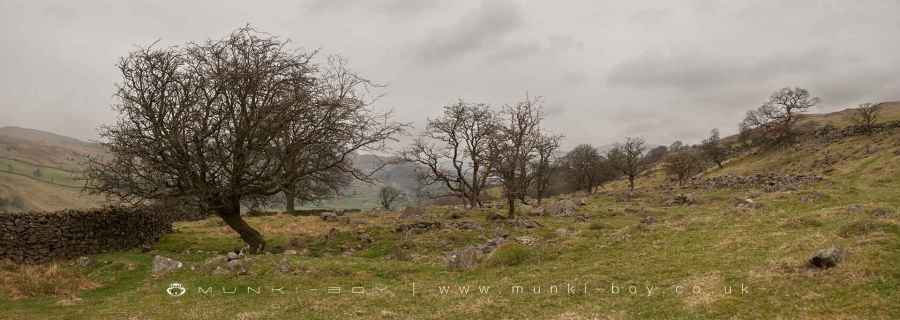
The internal layout of the settlement is equally intriguing. At the northern entrance, the wall extends outward briefly, while traces of an internal passageway offer access to the heart of the settlement. The western entrance also shows evidence of an internal return or projection, possibly serving a defensive or organizational purpose. The core of the settlement is marked by a roughly pentagonal central enclosure, measuring approximately 14 by 12 meters, which might have served as a communal or ceremonial space.
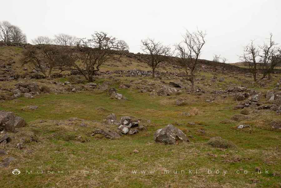
Dotting the landscape within the main enclosure are the foundations of seven hut circles. These structures, with internal diameters ranging from approximately 5.5 to 8 meters, provide a glimpse into the daily lives of the settlement’s inhabitants. The varied sizes of these huts suggest a community with diverse needs and perhaps a hierarchical social structure.
Interestingly, a later addition to the site—a stone wall or bank measuring about 27 meters in length and 1.3 meters in height—overlays part of the original southeastern enclosure wall. This addition points to the settlement’s evolution over time, adapting to new requirements or changing social dynamics.
Archaeological investigations have uncovered a wealth of historical artifacts within the settlement. Notably, a hearth and part of an armlet dating back to the second century AD were discovered in one of the hut circles, providing tangible connections to the people who once lived here.
In preserving this site, modern interventions have been carefully considered. A contemporary drystone wall that crosses the monument is excluded from the official scheduling, ensuring that the historical integrity of the site is maintained, while the ground beneath this modern feature is included for protection.
Millrigg Romano-British enclosed hut circle settlement thus stands as a testament to the ingenuity and resilience of its ancient inhabitants, offering modern visitors a window into a distant past where community, defence, and adaptation to the natural environment played crucial roles in everyday life.
Created: 29 December 2023 Edited: 26 March 2024
Millrigg Romano-British Enclosed Hut Circle Settlement
Millrigg Romano-British Enclosed Hut Circle Settlement LiDAR Map

Contains public sector information licensed under the Open Government Licence v3.0
Local History around Millrigg Romano-British Enclosed Hut Circle Settlement
There are some historic monuments around including:
Romano-British enclosed stone hut circle settlement and Romano-British farmstead north west of Tongue House Barn.Elfhow potash pitLow Kingate concentric stone circleRound cairn 80m east of Hagg GillSouthern round cairn on north end of The Tongue, Troutbeck ParkRound cairn 200m south-south-west of Bluegill FoldMillrigg Romano-British enclosed hut circle settlementNorthern round cairn on north end of The Tongue, Troutbeck ParkRound cairn 60m east of Hagg GillMedieval shieling 70m west of Trout BeckSettlement on W slope of The Tongue, Troutbeck ParkMedieval shieling 100m west of Trout BeckMedieval shieling 640m north of Troutbeck Park FarmRomano-British settlement, 450m east of High BorransSlight univallate hillfort on Allen KnottMedieval shieling 150m west of Trout BeckRound cairn 15m east of Hagg GillRound cairn 75m east of Hagg GillRound cairn 250m south-south-west of Bluegill FoldHigh Street, Roman roadTower of ruined chapel of St Margaret.


