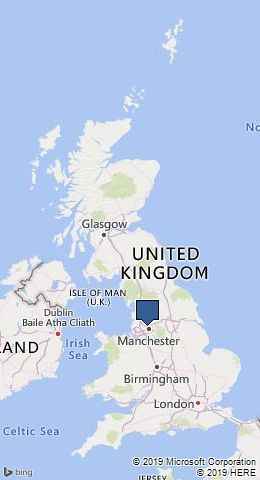
Old Cobbled Mill Path at Ladyshore by munki-boy
Ladyshore
Ladyshore is a roughly triangular area of land almost encompassed by a couple of sharp bends in the River Irwell to the South and the Manchester, Bolton and Bury Canal to the North. Ladyshore was once home to a number of industrial buildings including a papermill, calico printers and later the Lever Bank Bleach Works which closed in 1863, a Hartley’s pea canning factory and the Nova Brickworks with Ladyshore Colliery to the North which was the last of the local collieries to close in 1949. Brickworks are often found alongside the old collieries as good clay is often found associated with the coal seams.
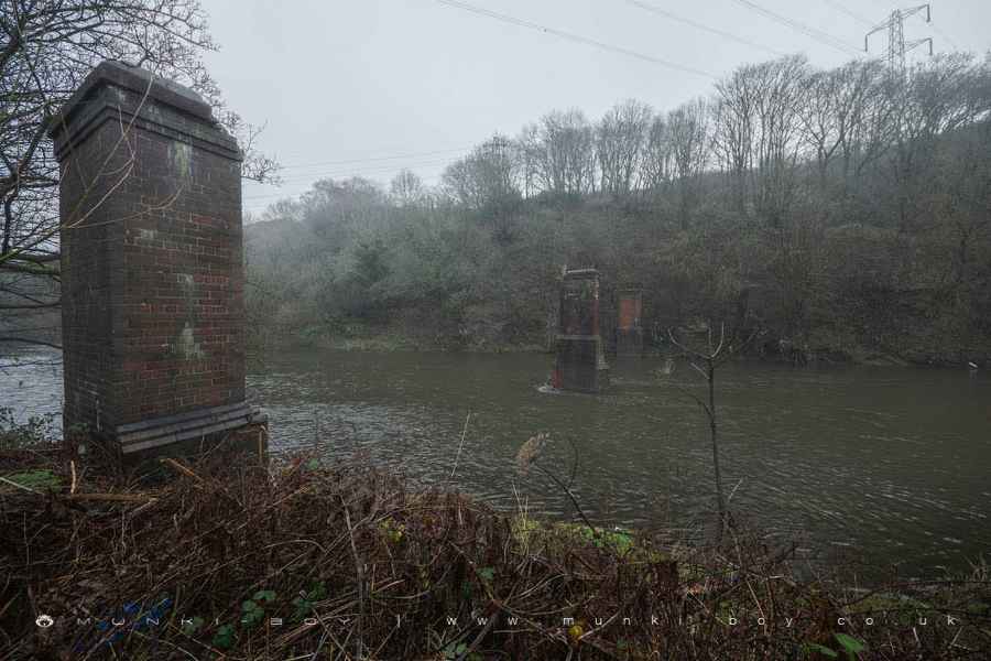
The Ladyshore land is owned by the local Bolton council and the area was for some time developed as a nature trail in the early 2000s but has since become overgrown with the wooden wildlife viewing platform now derelict but a couple of information boards remain, one of which references the old Creams Paper Mill that was once nearby but was demolished sometime before 2010.
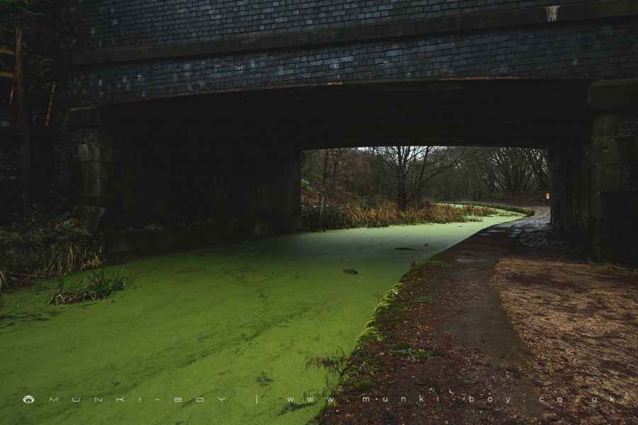
The Ladyshore area today is definitely post industrial with old, overgrown cobbled roadways and rubble together with the kind of junk found along the Irwell, from ancient ironwork to more modern rubbish left up the shore after flooding. There is a good variety of wildlife to be seen among the crumbling stonework and balsam. Which is amazing, considering the history of the place.
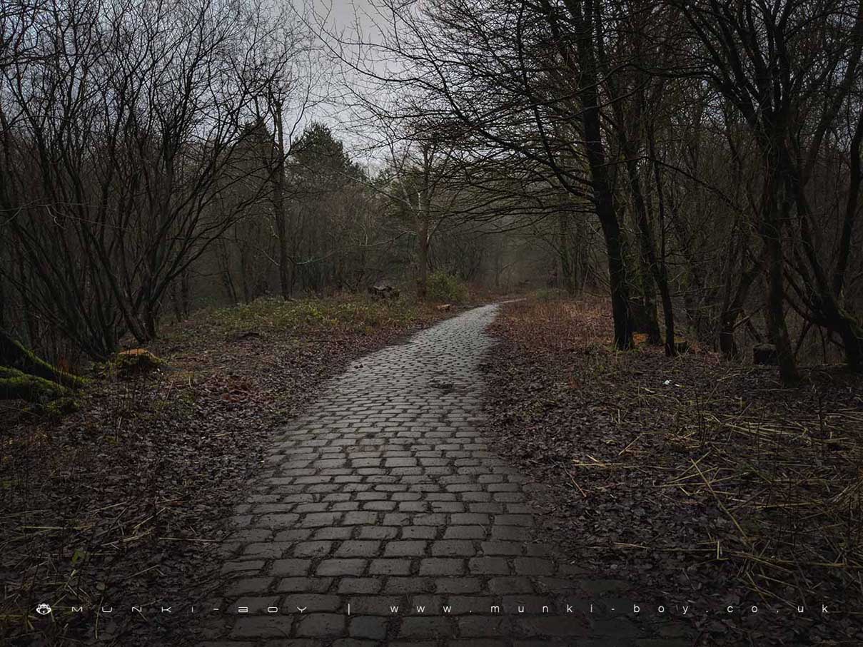
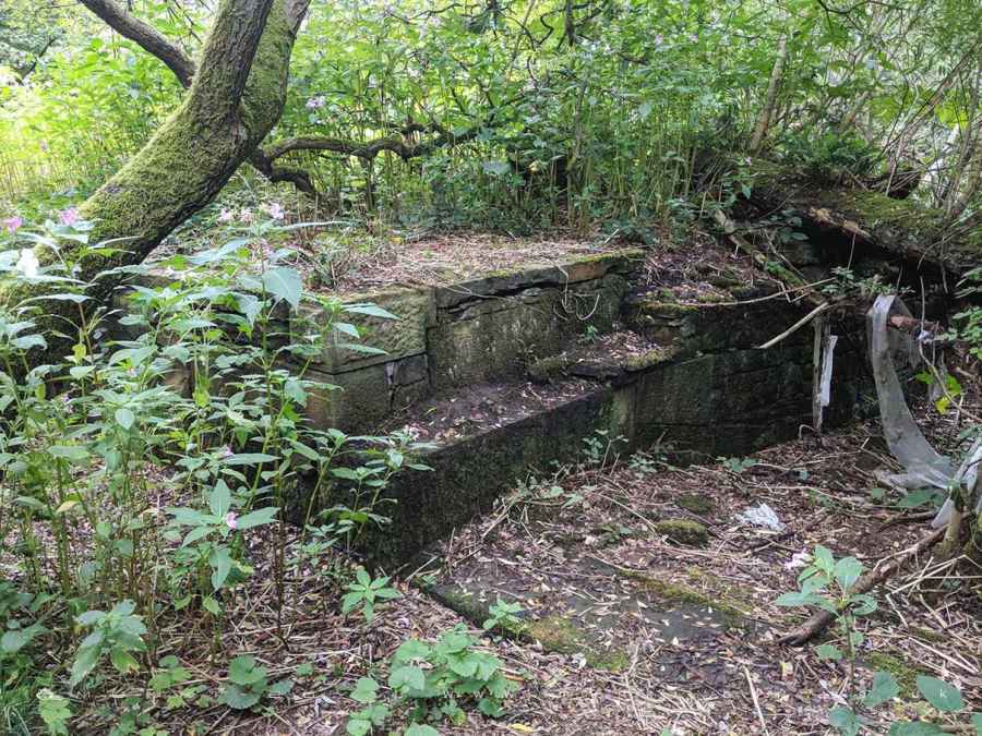
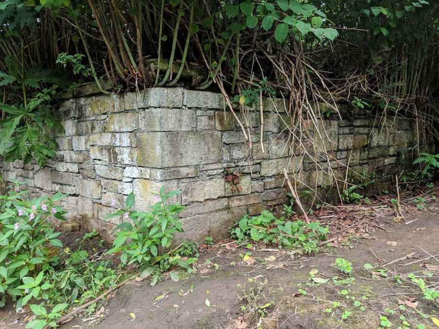
Most of the old buildings have long-since been demolished but there are interesting brick piers across the Irwell that remain from an old footbridge across to Ashclough(SSSI) on the opposite bank. However, this is not the bridge that would have served the 19th Century buildings. At that time there was a wooden footbridge which went across the Irwell on the opposite meander.
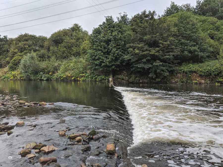
There is also an old industrial weir still in-place on the Irwell which served the paper mill, it’s interesting to see but the weirs are gradually being removed which allows fish to pass more freely along the rivers.
The turn-of-the-century signboards at Ladyshore are in pretty good nick and interesting as it seems the nature area was developed by “Bolton Countryside Service” - back-in-the-day; but as I Google them today there doesn’t seem to be much information post 2003. One of the old signs reads:-
“Enjoy a gentle walk around Ladyshore and listen to the river rushing over the weir as you take in wonderful views over to Farnworth and Radcliffe. If you prefer to stride out a little further why not follow the canal towpath to Radcliffe and join the Outwood Trail at the viaduct. Alternatively, you can head in the opposite direction to Moses Gate Country Park via Prestolee Locks and Nob End, where you can enjoy a bright display of Orchids during early summer.”
Doesn’t that sound idyllic?
Created: 10 November 2019 Edited: 29 November 2023
Ladyshore
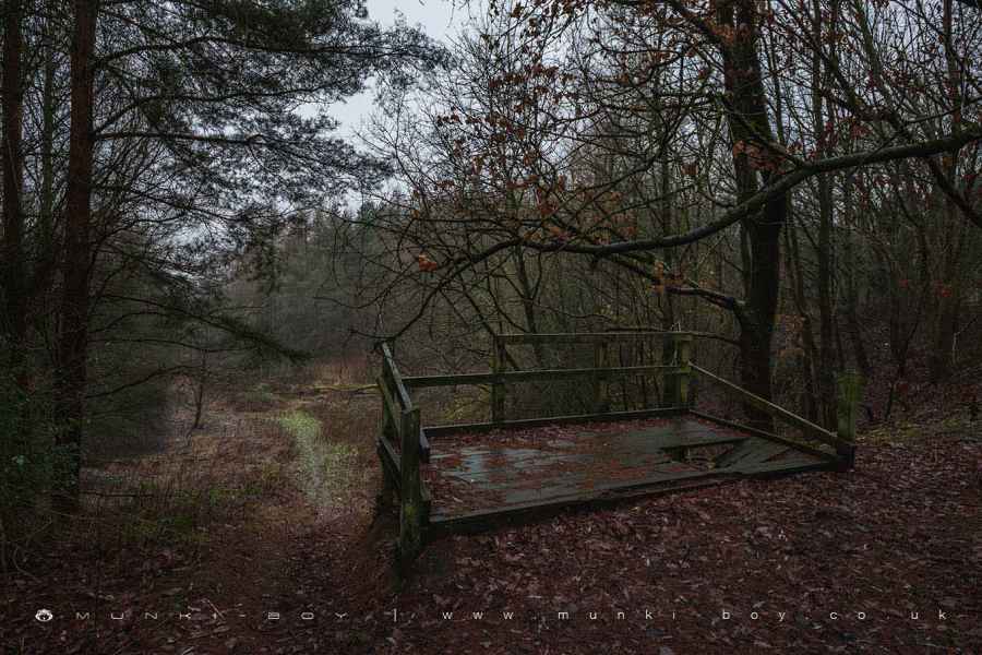
Ladyshore Woodland
Ladyshore is a woodland area in Greater Manchester, managed by Bolton Metropolitan Borough Council.Ladyshore LiDAR Map

Contains public sector information licensed under the Open Government Licence v3.0
Local History around Ladyshore
There are some historic monuments around including:
Lime kiln and associated culvert 50m north of Worsley Methodist ChurchRingley Old BridgeWardley Hall moated site, WorsleyRadcliffe Tower and site of hall 100m south west of the parish church in RadcliffePromontory fort called Castlesteads on the east bank of the Irwell 550m SSE of Banks FarmCanal tunnel entrances and wharfMedieval moated site and later fortified manor house known as Bury Castle 100m west of the parish churchAffetside Cross at Affetside 75m north west of the Pack Horse Inn.