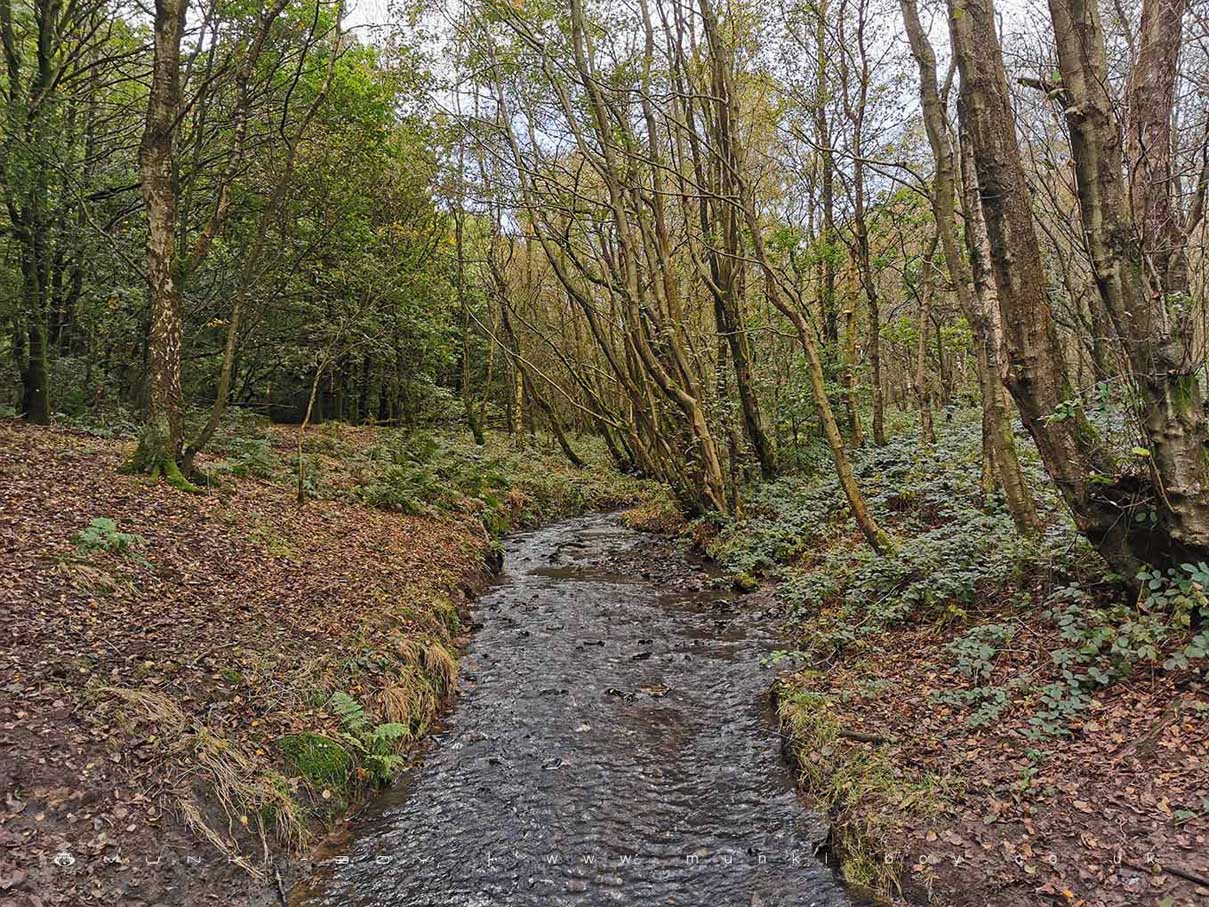
Stream in Kirkless Wood by munki-boy
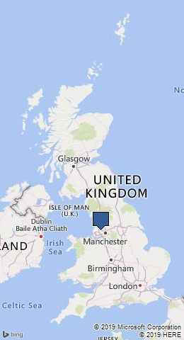
Kirkless Wood
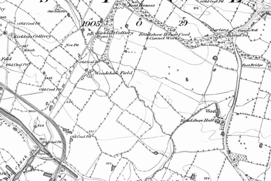
Once fairly level ground and without woodland in the 19th Century, the northern half of Kirkless Wood is now and irregular shaped hill covered in trees. Once the site of a house or farm named Woodshaw Field that went derelict in the early 20th Century.
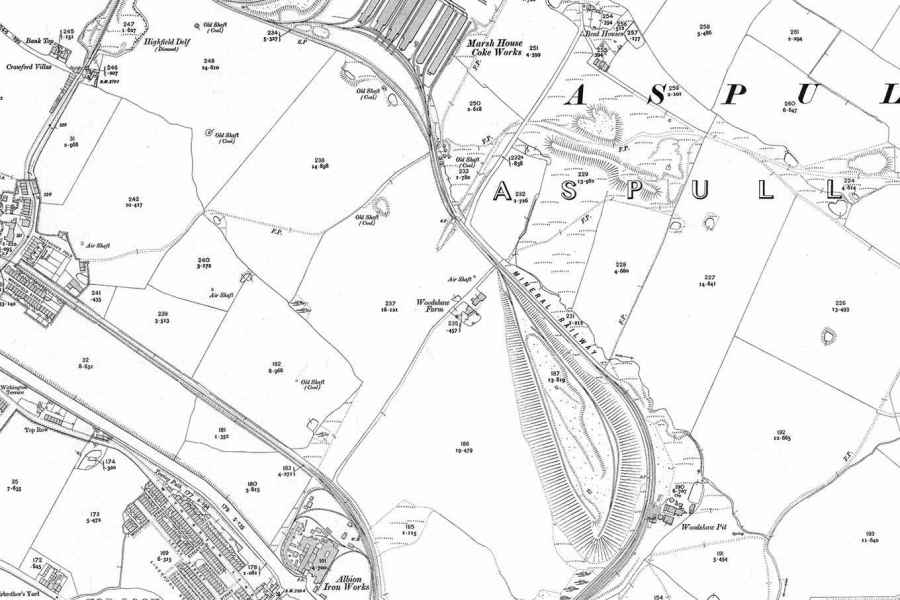
The hill seems to be a large spoil heap from the Marsh House Coke Works to the Northwest that was a large concern in the early 20th Century and sent spoil down a purpose built railway to be dumped. The coke works dwindled by the latter half of the century but by this time the hill had grown so large an aerial cable was in use to tip further waste on top.
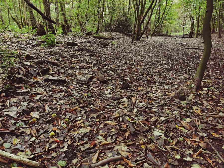
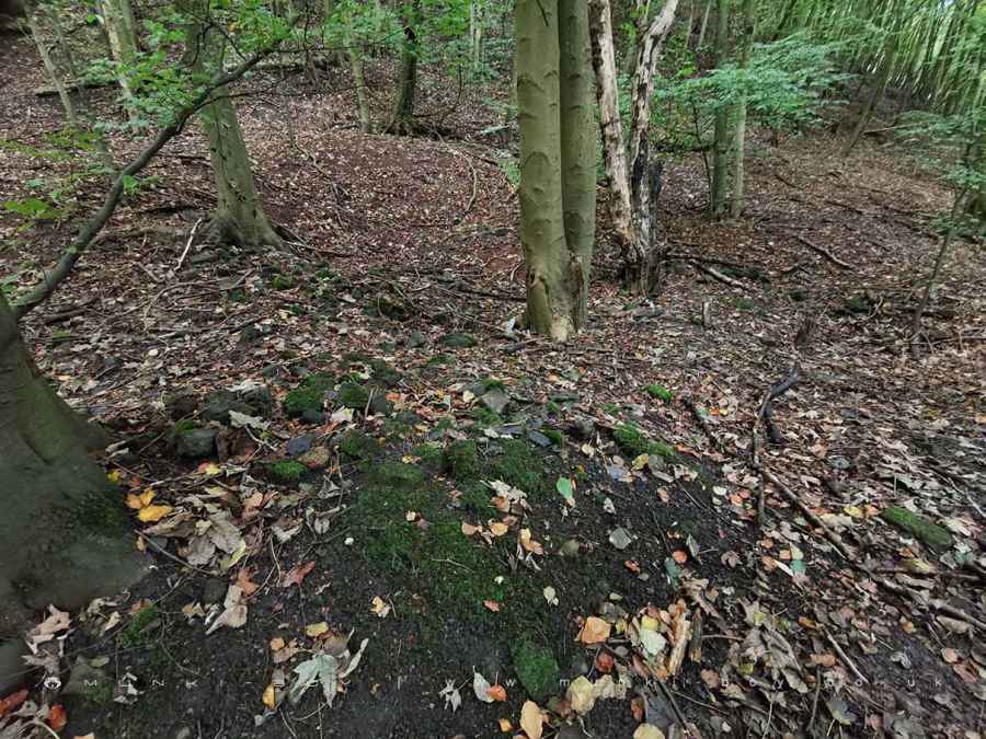
The whole area of woodland is post industrial landscape, reclaimed by nature over the last century, although parts of the woodland look ancient with moss-covered Oak.
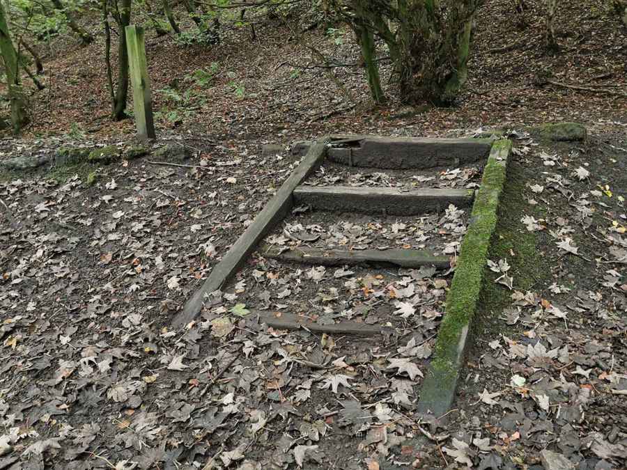
Along the western edge of the woods there is an almost straight path down towards the canal that was once a tramway for the old Kirkless Colliery. The North and East sides of the wood were enclosed by a “mineral railway”, used to transport coal and other ore from nearby collieries including Woodshaw Colliery on the far East side of the woods. The old railway bed can be seen and it is this which the public footpath follows. There are a few remains including steps and other modern footpath furniture made from old, wooden sleepers.
Many old collieries and pits dot the surrounding landscape and the mineral railways in the area were extensive, we might imagine due to the proximity of the canal to the Southeast, though most were gone by the early 1900s.
Created: 12 October 2019 Edited: 29 November 2023
Kirkless Wood
Kirkless Wood Woodland
Kirkless Wood is a woodland area in Greater Manchester, managed by Wigan Metropolitan Borough Council.Kirkless Wood LiDAR Map

Contains public sector information licensed under the Open Government Licence v3.0
Local History around Kirkless Wood
There are some historic monuments around including:
Gidlow Hall moated site, Aspull, 560m NNE of Pennington HallMoated site at Arley Hall, Haigh near WiganHeadless Cross, GrimefordThe Moat House moated site 600m WNW of St David's ChurchMabs Cross on Standishgate, 20m west of Mabs Cross School buildingHaigh Sough mine drainage portal, 310m west of Park House.