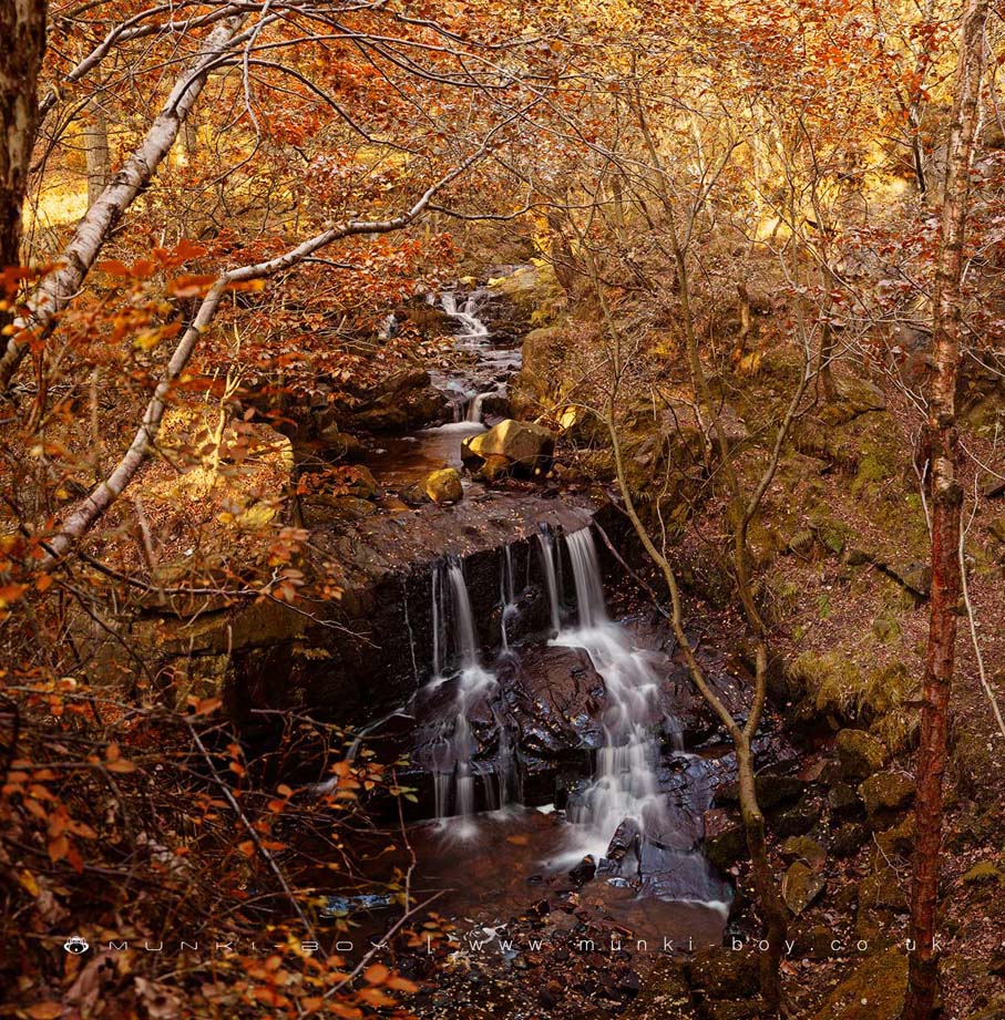
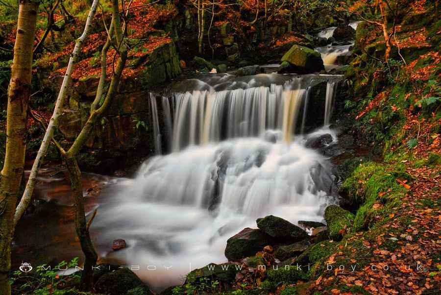
Jepsons Clough Waterfalls by munki-boy
Jepsons Clough Waterfalls
The series of several small waterfalls in a quarried geological fault area at Jepson’s Clough are close to a road but can be a bit tricky to climb around.
The Jepson’s Clough waterfall can be inspected fairly easily from above on the East bank of the River Douglas and this is the easiest descent but care is needed as there are steep drops and the rocks can be slippery.
There is also an interesting rocky section just downstream but this is quite obscured by trees.
Created: 27 November 2016 Edited: 29 November 2023
West Pennine Moors SSSI Details
Type: SSSI
Jepsons Clough Waterfalls
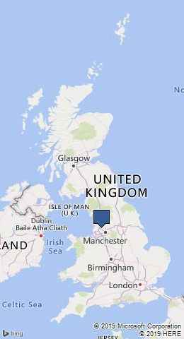
Douglas - Upper Details
Douglas - Upper
Douglas - Upper is a river in Lancashire
Douglas - Upper takes in water from an area around 46.041 km2 in size and is part of the Douglas OC catchment area.
Douglas - Upper is 14.142 km long and has been heavily modified by industry in the past.
Jepsons Clough Waterfalls LiDAR Map

Contains public sector information licensed under the Open Government Licence v3.0
Local History around Jepsons Clough Waterfalls
There are some historic monuments around including:
Round cairn on Noon HillRound Loaf bowl barrow on Anglezarke MoorHeadless Cross, GrimefordBretters Farm moated site and two fishpondsThe Moat House moated site 600m WNW of St David's ChurchGidlow Hall moated site, Aspull, 560m NNE of Pennington HallRound cairn on Winter HillRound cairn 280m west of Old Harpers FarmPike Stones chambered long cairn.