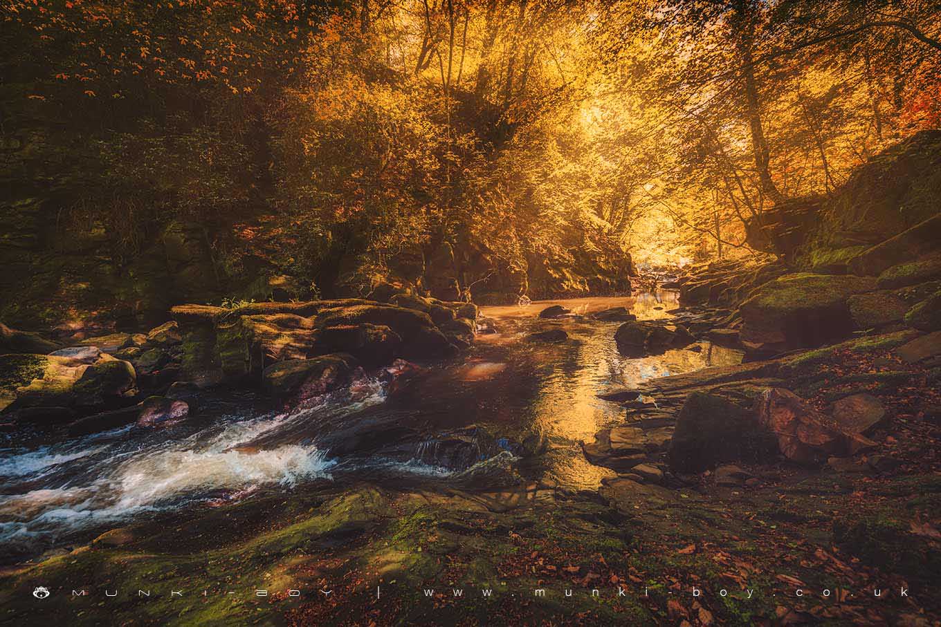
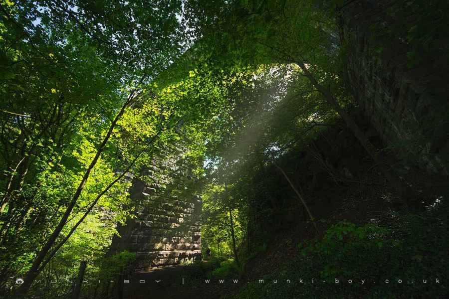
River Darwen at Horr Gorge by munki-boy
Horr Gorge
One of the nicest examples of the small, local gorges formed by water cutting down into the rocks with occasional help from geological faults and quarrying.
The Horr Gorge area has an interesting history as it is located within a buried valley formed by glacial action around 13,000 years ago. The old valley being buried by sediment in the many years after. The River Darwen here has carved down through the sediment and into the underlying bedrock leading to the deep, steep-sided gorge we see today.
Created: 10 October 2019 Edited: 29 November 2023
Horr Gorge
Darwen - confluence with Roddlesworth to tidal Details
Darwen - confluence with Roddlesworth to tidal
Darwen - confluence with Roddlesworth to tidal is a river in Lancashire
Darwen - confluence with Roddlesworth to tidal takes in water from an area around 36.758 km2 in size and is part of the Darwen catchment area.
Darwen - confluence with Roddlesworth to tidal is 19.7 km long and is not designated artificial or heavily modified.
Horr Gorge LiDAR Map

Contains public sector information licensed under the Open Government Licence v3.0
Local History around Horr Gorge
There are some historic monuments around including:
Pleasington alum worksPart of Witton Old Hall medieval lordly residence 340m north east of Feniscliffe BridgeRoman signal station on Mellor Moor.