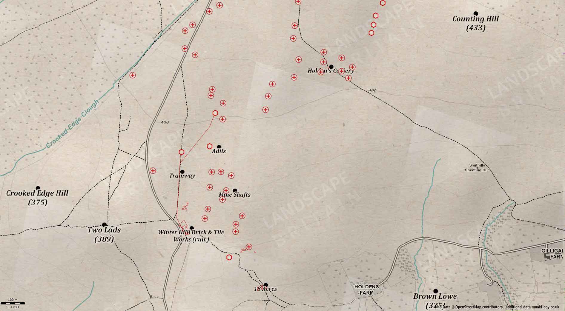
Map of Mine Shafts and Adits in the Hole Bottom Mining Area on Winter Hill by munki-boy
Hole Bottom Mining Area
The Hole Bottom area was mined around the mid 19th to 20th Centuries. Focussing on an area to the east of the current mast road and from the south of Hole Bottom and northwards towards the area of the Five Houses. Other mining remains are in the vicinity such as the older Wilderswood mine to the north and Holden’s Colliery to the northeast.
These mines went through the local Rough Rock (an often fragmented sandstone) and onto the Sand Rock Mine as the coal seams are known in the Lower Coal Measures here. Due to the coal outcropping on the relatively steep slopes of Winter Hill, mining was carried out via both horizontal tunnels or ‘drifts’ and a great number of shafts for vertical access.
The mining operation was run in conjunction with the Winter Hill Brick and Tile Works, utilising the fireclay associated with the coal seams. A series of mineral tramways were used to bring the coal and clay down to the works at Hole Bottom.
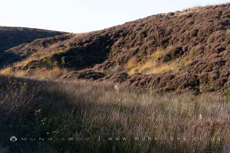
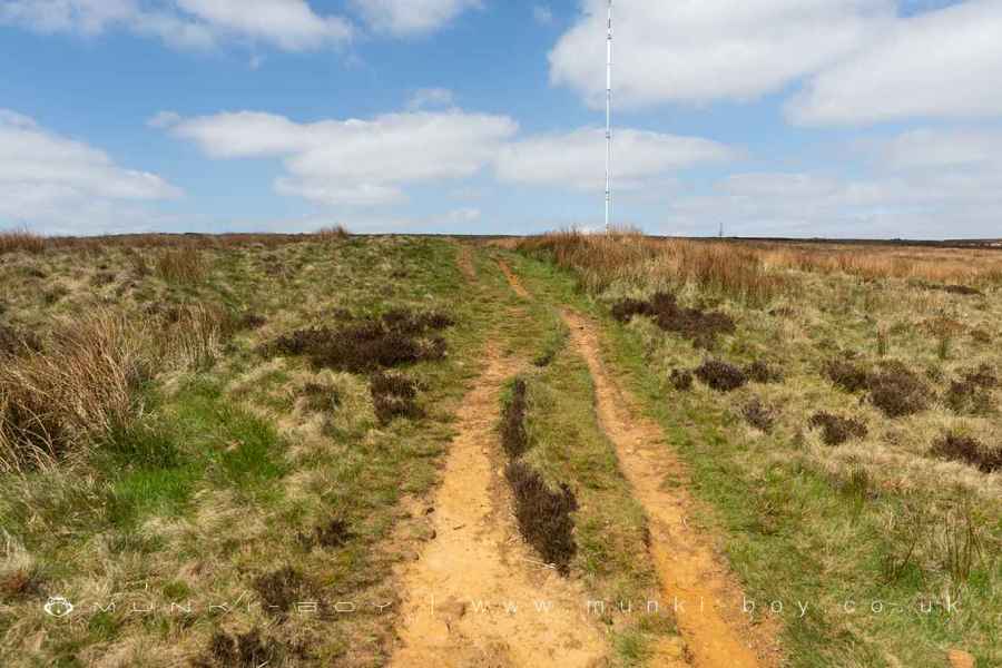
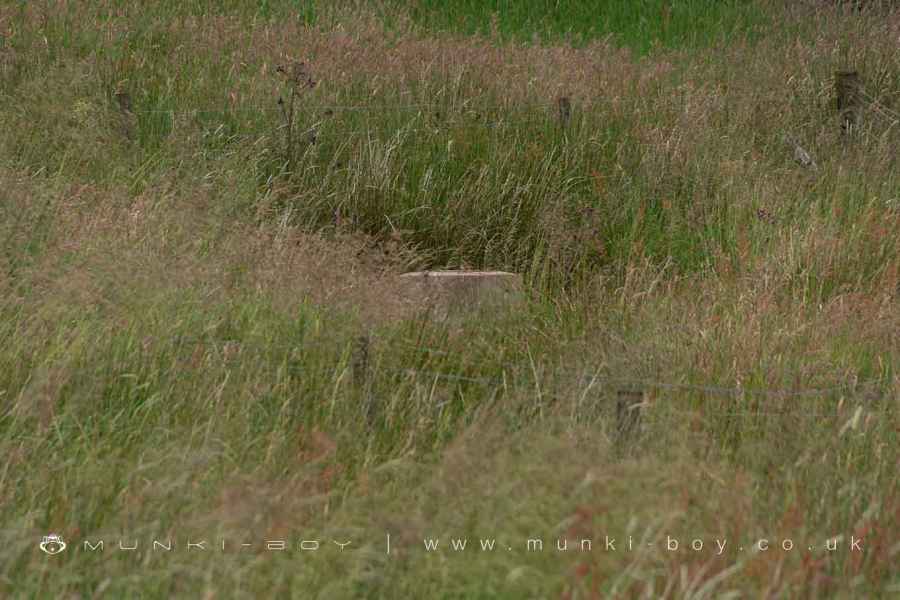
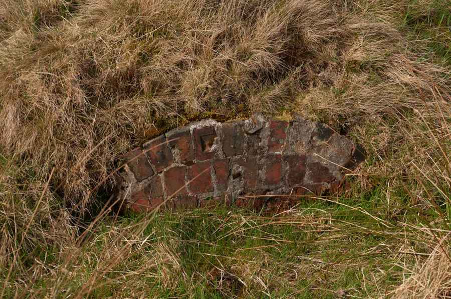
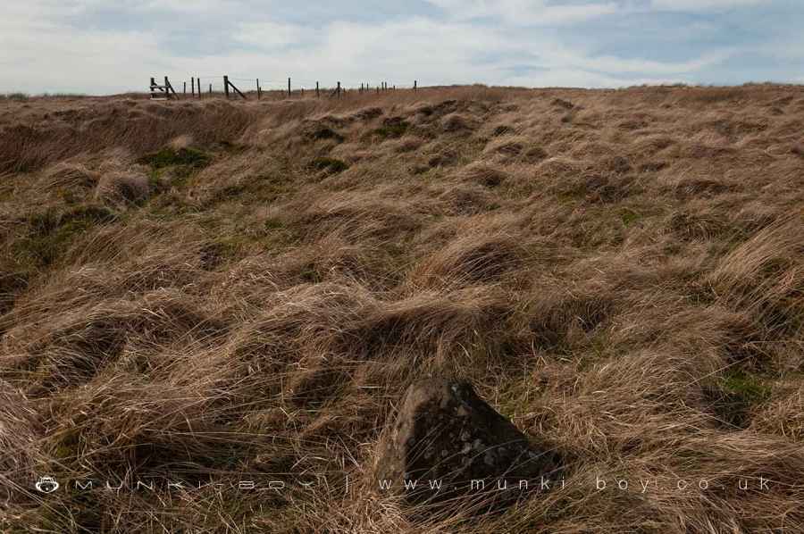
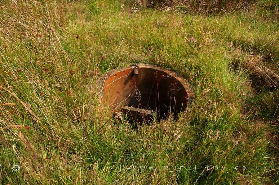
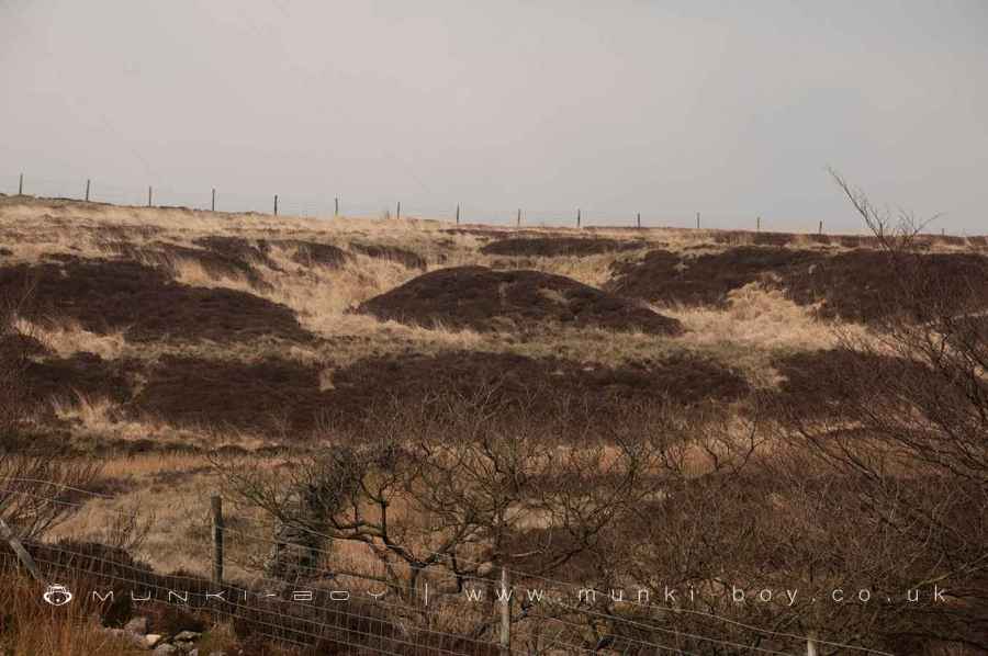
Today the moorland is pock-marked with the sites of the old mine shafts and the tramways are easily discernible as straight, partially raised causeways with a well-trodden footpath following one, parallel to a section of the mast road, heading northward. The drift entrances are infilled and only a single, bricked up adit remains visible. There are also some water company catch pits both in and out of use that take water from the tunnels.
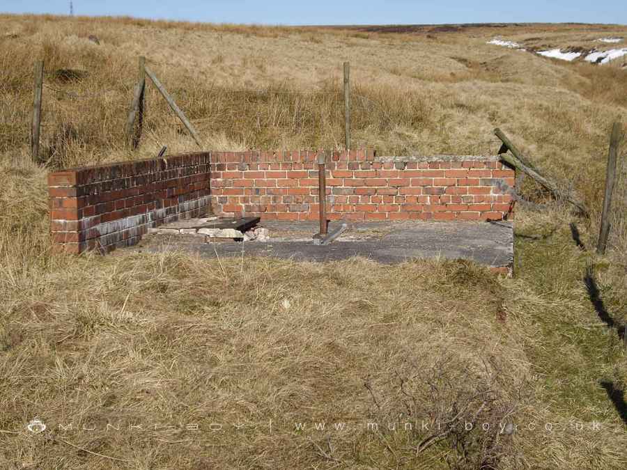
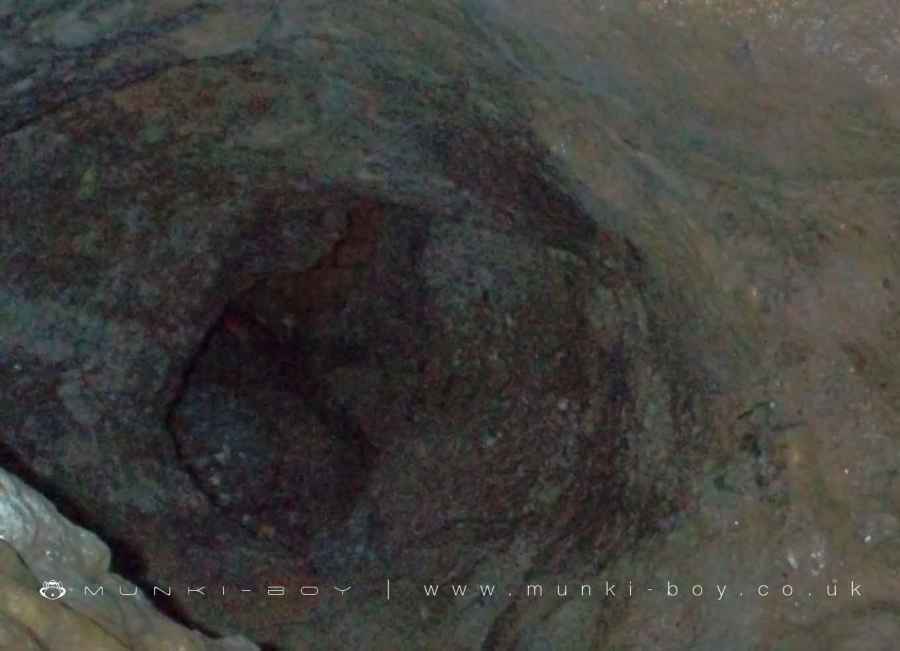
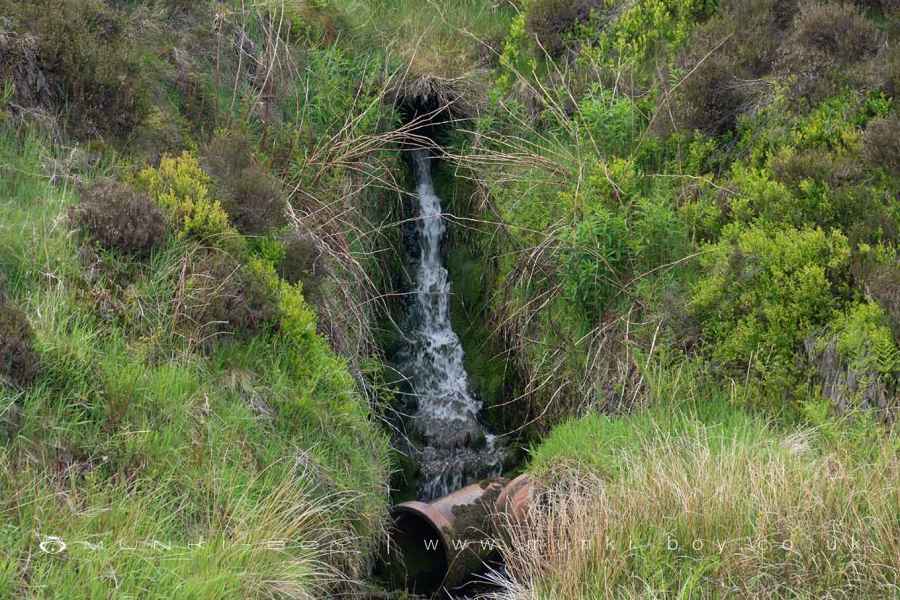
The southern area of Hole Bottom to the east of the old brickworks has a small valley with an area of swamp-like ground - now part of an experiment testing ‘leaky dams’ for upland water management hosted by the Woodland Trust - has a pond that fills from a stream but drains by seeping underground. The outflow is possibly a blocked pipe below current level of ‘made ground’ at the brickworks. From the opposite side of the small valley there is an dependable outflow of water that is probably mine-related but shows no ochre - which is common in the area.
Just downstream, on the north bank of the swampy area is the site of another old adit, this was also brick but has collapsed or been backfilled, sometime before the millennium. The adit was driven northward to where a pit was located on the higher ground where there is also a ruined and overgrown brick kiln very close by - above the site of Ouzel Hall and not part of the Winter Hill Brick and Tileworks. There are many single brick kilns on the hill that are undocumented in the published literature.
Created: 15 April 2024 Edited: 15 April 2024
Hole Bottom Mining Area
Hole Bottom Mining Area LiDAR Map

Contains public sector information licensed under the Open Government Licence v3.0
Local History around Hole Bottom Mining Area
There are some historic monuments around including:
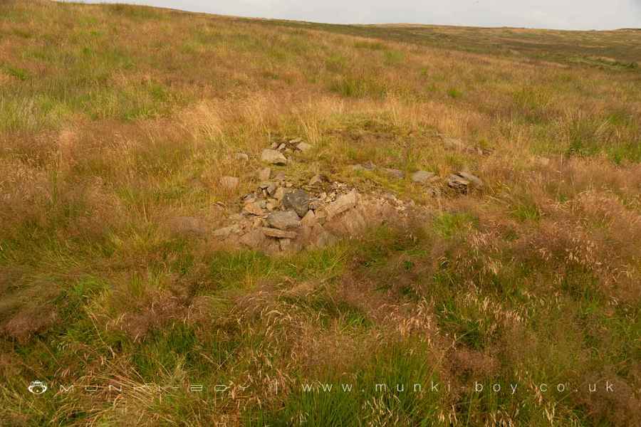
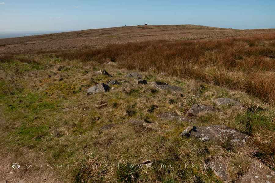
Round cairn on Winter HillPike Stones chambered long cairnRound cairn on Noon HillHeadless Cross, GrimefordRound cairn 280m west of Old Harpers FarmSteam tramway reversing triangleRound Loaf bowl barrow on Anglezarke MoorGidlow Hall moated site, Aspull, 560m NNE of Pennington Hall.


