Gull Crag and the Rumble Churn - an outcrop of the igneous Whin Sill by munki-boy
Gull Crag and the Rumble Churn
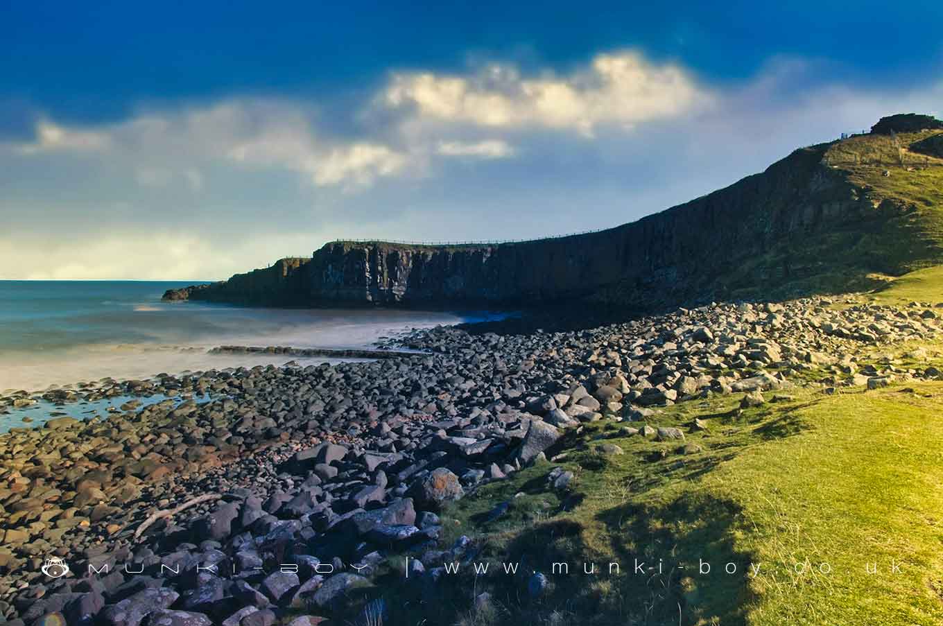
A massive outcrop of the Whin Sill igneous intrustion on which stands Dunstanburgh Castle.
A Sill is the name for a geological process where a sheet of magma (molten rock below ground) is forced at high temperature and under massive pressure between pre-existing layers of rock strata. Think of a volcano but the molten rock went sideways (rather than exploding upwards) in the form of a horizontal sheet of many miles. These massive events happened here around 300 million years ago.
As igneous rock (in this case Dolerite) is generally much harder than the surrounding ‘country’ rock it is common to find massive igneous outcrops where the layers of softer rock have eroded away. As we can see here in the massive cliffs of Gull Crag, eroding much more slowly than the beach below.
The Rumble Churn is a small cove towards the end of Gull Crag, filled with churning water at the turn of the tide.
Gull Crag and the Rumble Churn is in Northumberland Coast AONB, a designated Area of Outstanding Natural Beauty.
Created: 8 March 2021 Edited: 29 November 2023
Gull Crag and the Rumble Churn
Local History around Gull Crag and the Rumble Churn
There are some historic monuments around including:
Defended settlement, 600m south east of Red SteadSt Ebba's chapel and monastic siteDovecote S of Glebe FarmCraster defended settlementDunstanburgh Castle: Romano-British settlement, 14th century enclosure castle and harbour, and World War II pillbox and foxholeBenthall round cairn.


