Grand Union Canal at Leicester
Grand Union Canal at Leicester
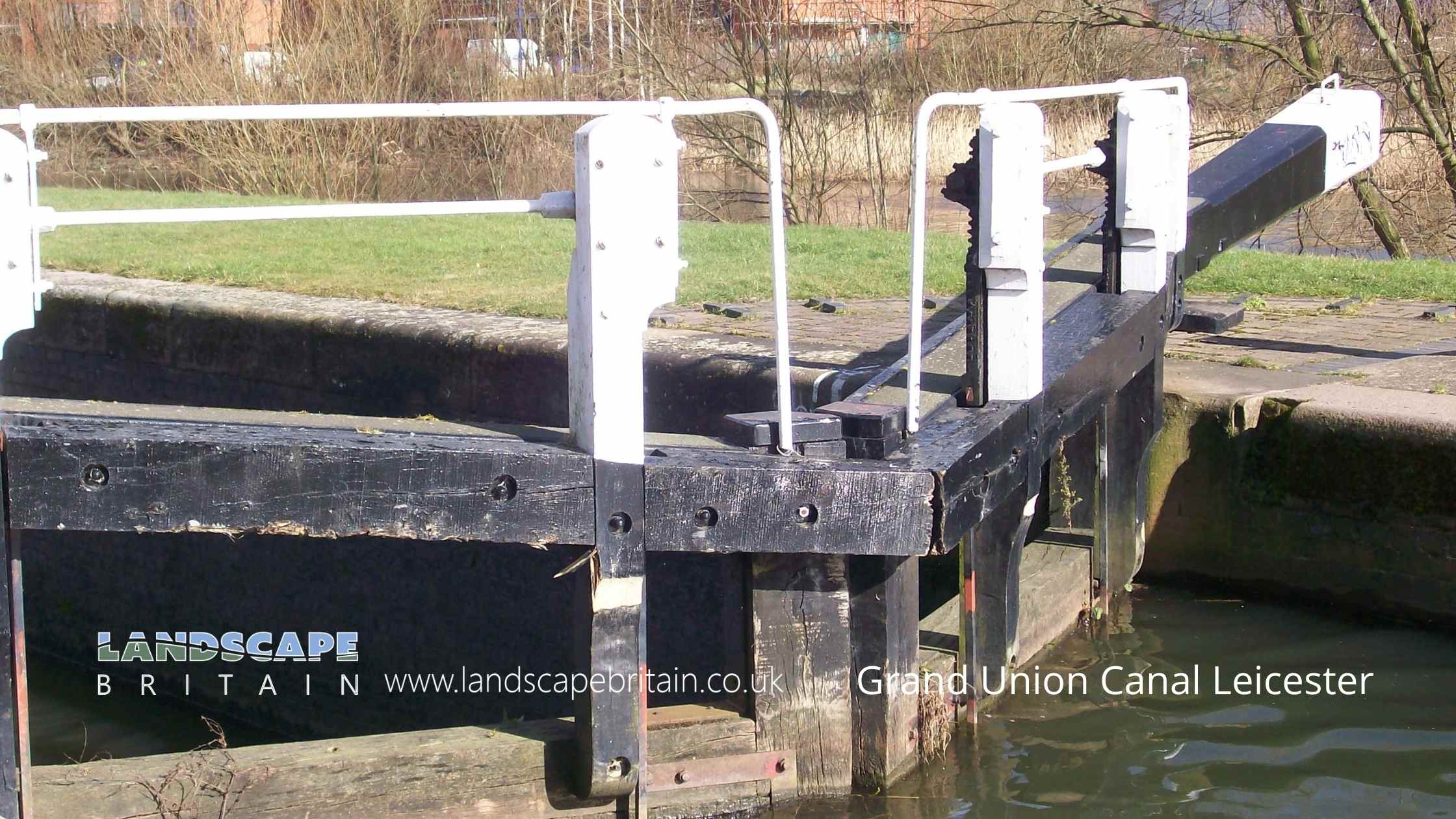
The Grand Union Canal at Leicester, also-known-as the Leicester Line is a canal based on the River Soar which was made navigable in the late 18th Century. The line starts from the north of Leicester, at Aylestone Meadows, and meanders its way for a little over six miles through Braunstone Frith and into the city centre. The canal passes through some interesting areas of Leicester including Abbey Park which is home to the remains of Leicester Abbey.
The Grand Union Canal was built as a way to transport goods from Birmingham to London and it soon became an important artery of trade for the Midlands. In its heyday the canal was used extensively by industry and played a vital role in the growth of Leicester as a major manufacturing city. Today the canal is much quieter but is still used by leisure boats and is popular with walkers and cyclists who enjoy exploring the towpaths.
Created: 9 October 2022 Edited: 29 November 2023
Grand Union Canal at Leicester
Grand Union Canal, Leicester Line, summit to Aylestone
Grand Union Canal, Leicester Line, summit to Aylestone is a canal in Leicestershire
Grand Union Canal, Leicester Line, summit to Aylestoneis part of Soar Canals.
Grand Union Canal, Leicester Line, summit to Aylestone is 36.084 km long and is artificial and not a natural waterway.
Grand Union Canal at Leicester LiDAR Map

Contains public sector information licensed under the Open Government Licence v3.0


