Giants Grabe by munki-boy
Giants Grabe and Prehistoric Settlement
Giants Grabe and Prehistoric Settlement is in The Lake District National Park in England.
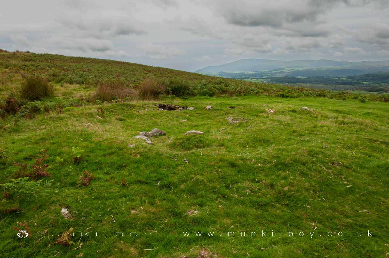
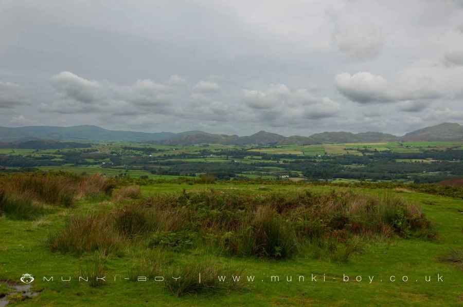
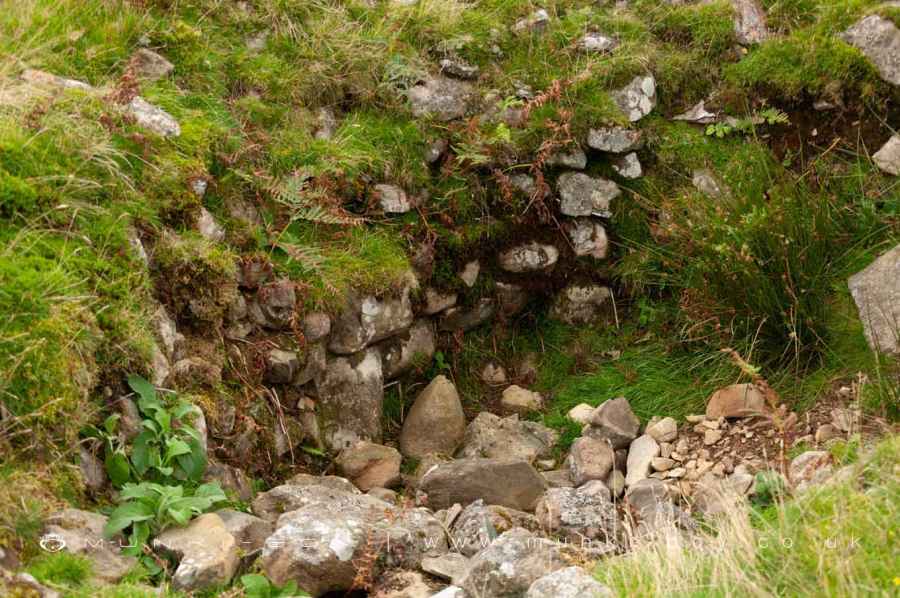
The prehistoric site known as Giants Grabe or Giants Grave, situated on the expansive and undulating terrain of Heathwaite Fell, represents a significant and multifaceted archaeological landscape. This site, surveyed by Quartermaine in 1987, spans across 14 distinct protection areas, encapsulating a remarkable array of ancient and medieval remnants. It is an exemplary testament to the prolonged human engagement with this land, tracing back to the Bronze Age and extending through the medieval period.
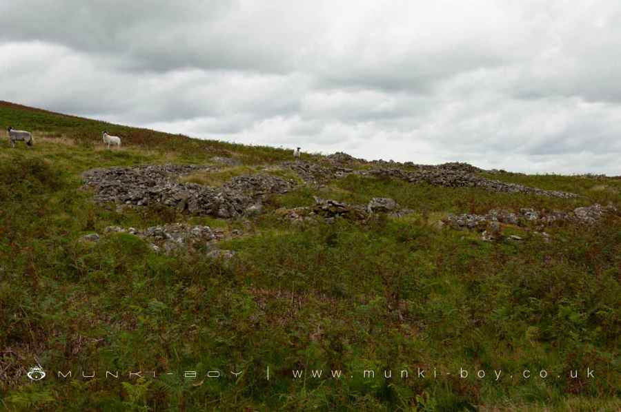
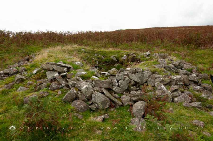
Central to the monument’s breadth are the remnants of two prehistoric hut circle settlements. These settlements, characterized by their circular or oval platforms, were ingeniously terraced into the landscape’s steep slopes. The sizes of these platforms vary notably, ranging from 2.5m to 8.4m in diameter, suggesting a diversity in their use or the status of their inhabitants. In the vicinity of these settlements, more than 200 clearance cairns and stone banks have been identified. These features highlight the ancient practices of land clearance, aimed at rendering the terrain suitable for agriculture or pastoral endeavors. Among these cairns, five stand out as funerary monuments, distinguished by their larger size and more elaborate construction. They are strategically placed in prominent locations, possibly serving as markers or memorials within the prehistoric landscape.
Overlaying much of this ancient setting is a dispersed medieval settlement, including a farmstead that spans multiple construction periods. This settlement is surrounded by an intricate field system, denoted by extended banks and walls that outline large agricultural fields. These fields contain evidence of ridge and furrow farming techniques, despite the interruption of cairnfields which alter the orientation of these agricultural patterns in places. The presence of kilns near the farmstead further enriches the site’s historical narrative, suggesting activities related to the production of potash for the woollen trade or kilnwood for smelting lead ore.
Beyond the core area, the monument encompasses additional prehistoric elements. These include a smaller hut circle settlement on lower ground, a stone-walled stock enclosure divided into distinct sections, and a collection of funerary and clearance cairns. Notably, two disturbed funerary cairns, known as Giants Graves, were investigated in 1842, where charred bones and a stone ring were discovered, adding a tangible connection to the people who once inhabited this landscape.
The collective remains of hut circles, cairnfields, enclosures, and kilns across Heathwaite Fell not only shed light on the prehistoric and medieval utilization of this landscape but also offer invaluable insights into the social, economic, and ritual practices of its past inhabitants. Giants Grabe stands as a significant archaeological ensemble, providing a window into the complex interplay between humans and their environment over millennia.
Created: 9 April 2024 Edited: 10 April 2024
Giants Grabe and Prehistoric Settlement
Giants Grabe and Prehistoric Settlement LiDAR Map

Contains public sector information licensed under the Open Government Licence v3.0
Local History around Giants Grabe and Prehistoric Settlement
There are some historic monuments around including:
Cairnfield 210m south west of Throng Moss ReservoirKnapperthaw stone circleSettlement on The HawkNibthwaite furnaceCairns on Kiln Bank 1/6 to 1/2 mile (270m-800m) SSE of Far Kiln Bank FarmhousePrehistoric hut circle settlements, enclosure, cairnfields, funerary cairns, a dispersed medieval settlement, field system and kilns on Heathwaite FellDike, circles and cairns on Bleaberry HawsTwo ring cairns on Gawthwaite MoorCairn and ring mound on Long Moor, W of Gill House BeckConscientious Objectors’ Stone, 140m south east of Green Moor farmhouse.


