Galley Hill Hillfort by munki-boy
Galley Hill Hillfort
The slight univallate hillfort on Galley Hill forms part of a series of defended sites established on the Greensand ridge during the Late Bronze Age and Iron Age.
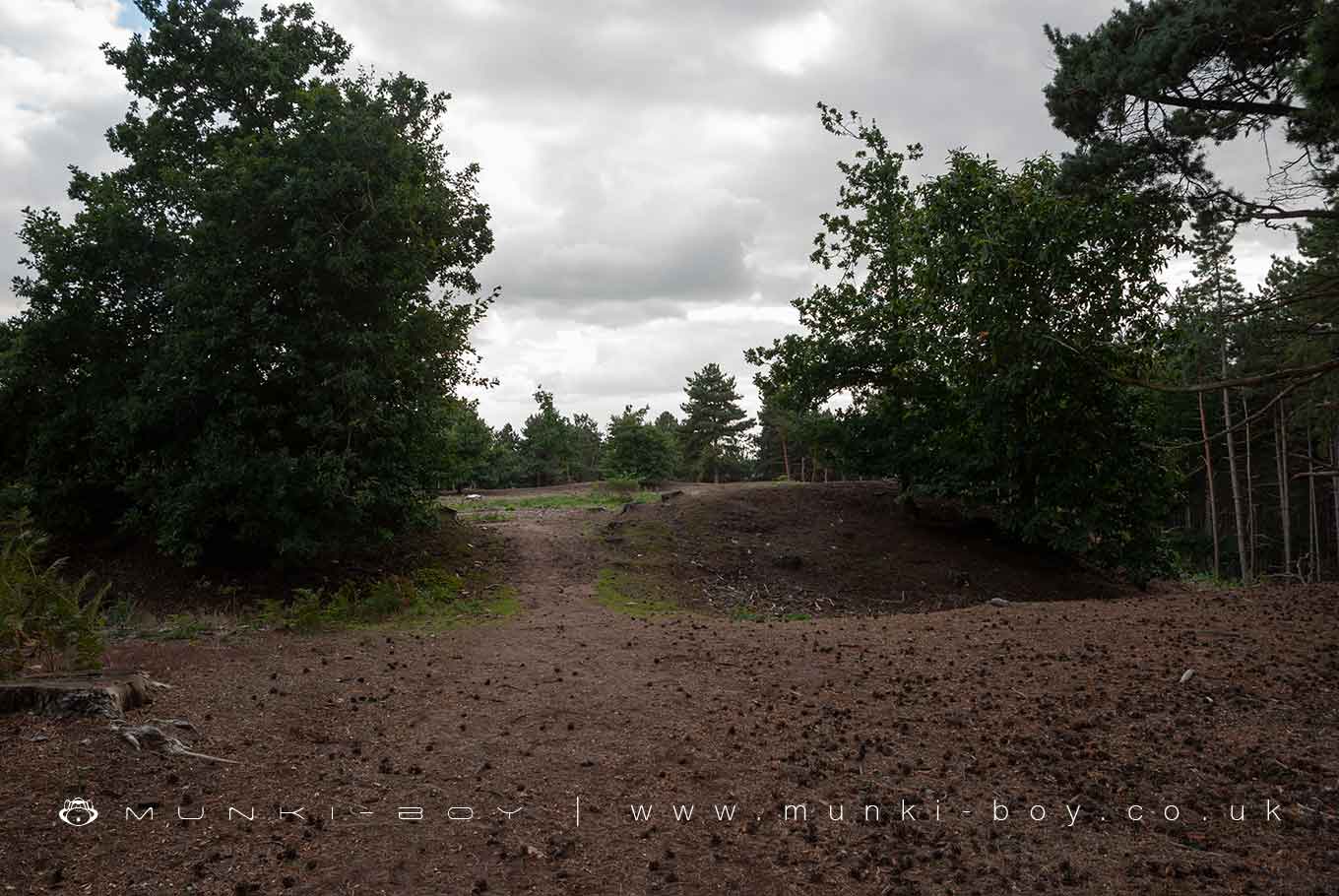
The hillfort on Galley Hill occupies a prominent position on the tip of a narrow spur extending southwards from the Greensand ridge. Galley Hill Hillfort overlooks the town of Sandy with commanding wide views over the valley of the River Ivel.
The hillfort, which is made inaccessible by steep slopes on all but the northern side, is rectangular in plan with rounded corners. The interior is quite level, measuring approximately 60m north to south by 110m east to west and surrounded by ramparts on all but the eastern side.
The northern section of the ramparts separates the fort from the land beyond and includes a single inner bank, 1.5 metres high by 6 metres wide and flanked by a ditch of similar width which is largely filled with accumulated silts and is now only approximately 80 centimetres deep.
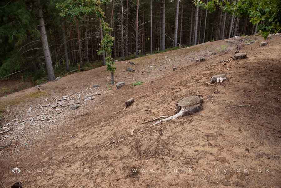
The defences continue around the western and southern sides of the fort where the ditch is also accompanied by slight traces of an outer bank enhancing the defensive properties of the natural scarps.
At the south eastern corner of the enclosure the defences gently fade into the natural contours of the spur, and the eastern arm itself appears to have relied primarily on the steepness of the natural scarp, perhaps supplemented by timber palisades.
A short continuation of the ditch from the north eastern corner together with a slight break in slope some 9 metres below the summit, indicates that some artificial modification originally took place across this slope, which has since been masked by soil erosion. The logical approach to the hillfort is from the level ground to the north and there are three narrow causeways across the northern arm of the defences. Two of these (near the corners) are relatively modern and relate to present trackways. The third, located 30m from the eastern end, is considered likely to be the original entrance. The shape of the hillfort is entirely determined by the topography of the spur and, although the resulting regularity of the design led many antiquarians to suggest Roman influence, the type of ramparts, together with fragments of pottery recovered from the surface of the interior, indicates an Iron Age origin. A promontory fort (also Iron Age in date, but considerably earlier), occupies the tip of a second spur approximately 150 metres to the east of Galley Hill which is separated by a broad dry valley. A third hillfort, Caesar’s Camp, lies approximately 1.5km to the north west and both are the subjects of separate schedulings.
Created: 8 July 2021 Edited: 29 November 2023
Galley Hill Hillfort
Galley Hill Hillfort LiDAR Map

Contains public sector information licensed under the Open Government Licence v3.0
Local History around Galley Hill Hillfort
There are some historic monuments around including:
A ringwork and bailey castle, ring ditch and enclosures east of Brookland FarmGannocks Castle moated siteNewton Bury moated siteTempsford BridgeCursus and five associated ring-ditches at Biggleswade CommonSutton Packhorse BridgeBiggin Wood moated enclosure, TempsfordSandy Lodge promontory fortProbable Romano-Celtic Temple and Aligned Enclosures at Biggleswade CommonMoated site, near Hill House, Old WardenMedieval fishery and warren in Home WoodHolme Mill Iron BridgeBowl barrow, known as the `Round Hill', 440m WNW of College FarmStratton Park moated enclosure and associated manorial earthworksStory Moats moated enclosure, outer enclosures, drainage leats and ponds, EvertonBlunham BridgeSlight univallate hillfort on Galley HillJohn O'Gaunt's HillBronze Age Round Barrow and Later Settlement on Biggleswade Common.


