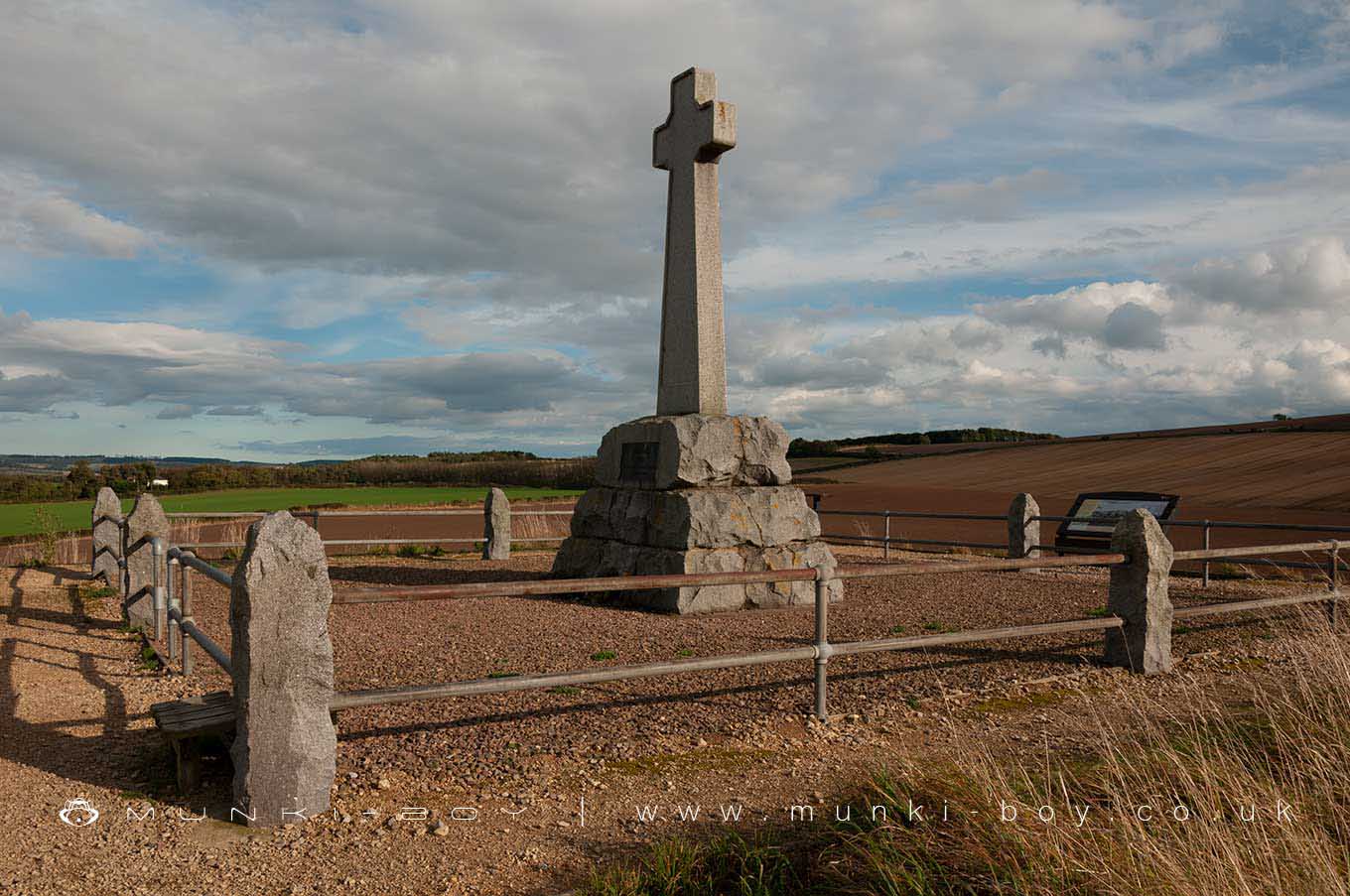
The Flodden Memorial on Stock Law or Piper's Hill by munki-boy
Flodden
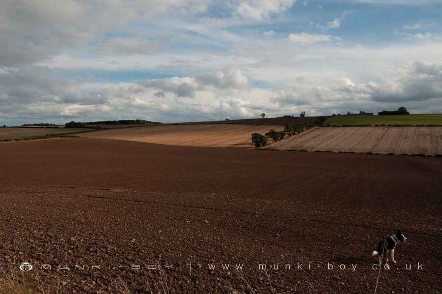
In 1513 the battle of Flodden Field or Branxton Moor was fought, resulting in the defeat of Scottish forces led by King James IV against an invading English army commanded by the Earl of Surrey. The battlefield is a short distance from the village of Branxton in Northumberland, England and sits on relatively flat ground at an altitude of about 1,100 feet (340 meters) above sea-level.
The site of the battle is just to the south of Flodden Edge, which is situated between the villages of Branxton and Etal, is now marked by a large memorial in the form of a stone cross on Piper’s Hill or Stock Law, a small hill overlooking the church at Branxton.
A number of artifacts have been found nearby, including a pit containing numerous human bones and leaden cannon shot. Some of the bodies from the battle field are said to have been buried at an earlier church on the site of the nearby Branxton Church.
James IV was killed at the battle of Flodden Field, the last king to die in battle in the United Kingdom. The battle itself - due to terrain and weather conditions - was said to be the last medieval style battle with pikes and halberds.
Created: 14 November 2021 Edited: 29 November 2023
Flodden
Local History around Flodden
There are some historic monuments around including:
East Moneylaws campRoman period native enclosed settlement 600m north east of Elsdonburn ShankCamp 400yds (370m) NNE of FloddenSettlement on north slope of Yeavering BellStaw Hill defended settlementThe King's Stone NW of Crookham Westfield FarmDownham campRomano British settlement, 655m north east of Lanton Hill MonumentRoman period native settlement on east slope of Mid Hill, 520m south of Staw Hill CampEnclosed settlement west of Mid HillDefended settlement, 380m south west of Sandy HouseCircular enclosure W of Second LinthaughFive shielings 620m NNE of Elsdonburn ShankAd Gefrin Anglo-Saxon township and prehistoric remainsThe Battle Stone, 650m WNW of Yeavering FarmRoman period native settlement 200m SSE of Staw Hill defended settlementMid Hill enclosed settlement, WestnewtonHowtel tower houseCornhill CastleHamilton House, fort 275m SSW of Prehistoric domestic and defensive: fort (includes hill and promontory fort) SM12362Roman period native farmstead 320m north east of LongknoweDefended settlement, 507m north west of Pawston LakeEnclosed settlement, 620m south east of Cornhill CastleTwizel BridgeHouse platform north west of Laddie's Knowe settlementFarmstead and cultivation terraces, ENE of StawhouseSt Gregory's Hill campFlodden campTwizel medieval tower house and village, post-medieval folly and gardenEtal Castle tower houseLittlehaugh Shiel, fort 400m WSW of Prehistoric domestic and defensive: fort (includes hill and promontory fort) SM12401Castle Hill campDuddo stone circle, 800m north east of GrindonriggEnclosure on Fadden HillMoneylaws Castle Hill campFlodden Edge camp.


