Ellerbeck Collieries (ruin) by munki-boy
Ellerbeck Collieries (ruin)
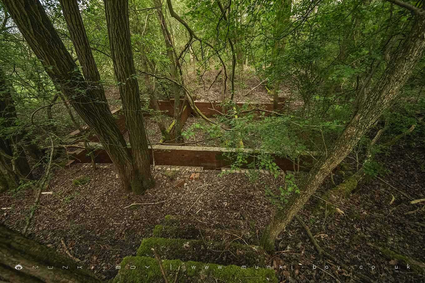
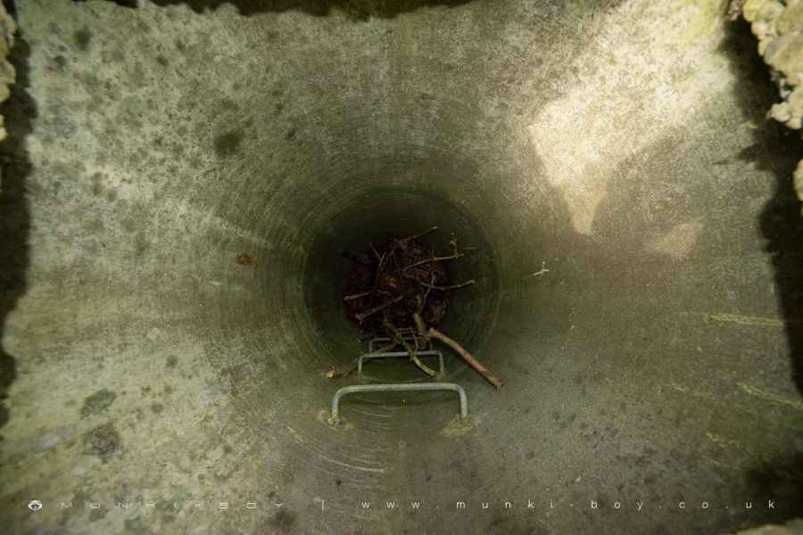
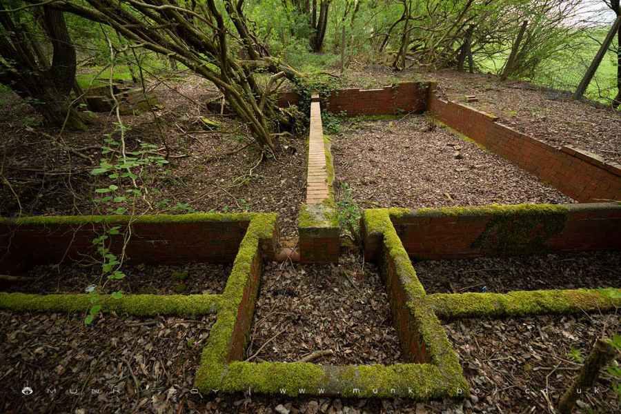
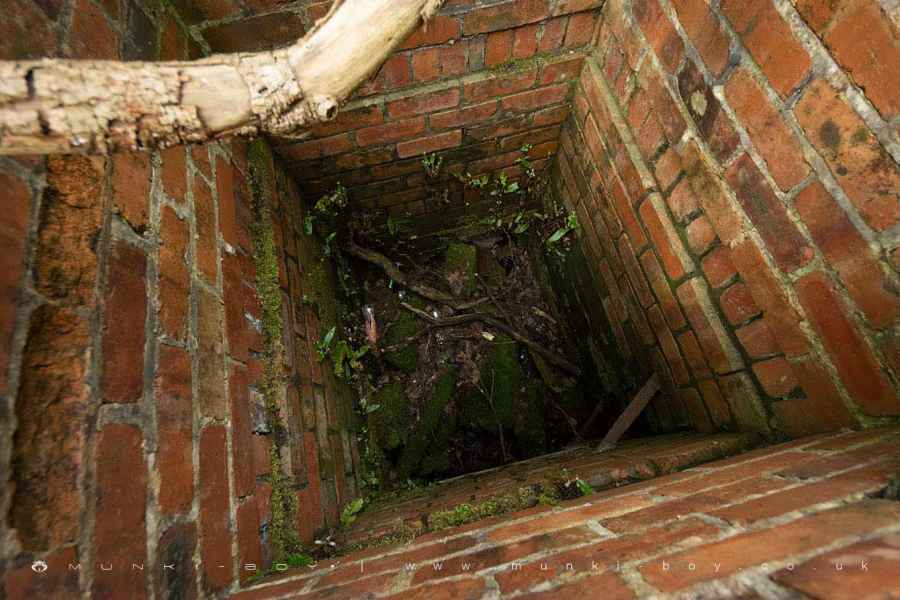
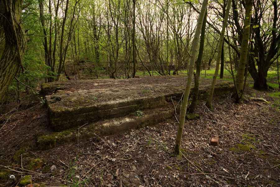
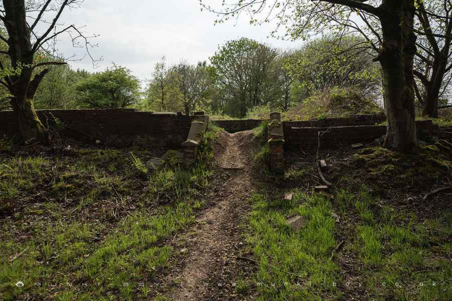
Once a large colliery server by a specially constructed branch of the LMSR railway the ruins at Ellerbeck are substantial including large, concrete machine plinths, two fenced-off mineshafts and a good number of open manholes, some of which are quite deep - careful here.
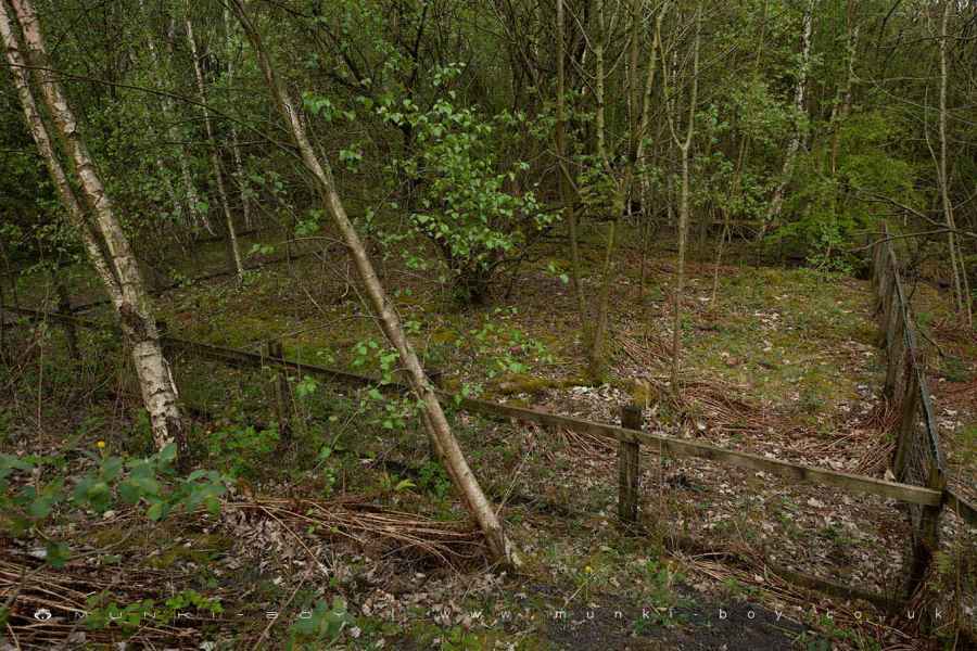
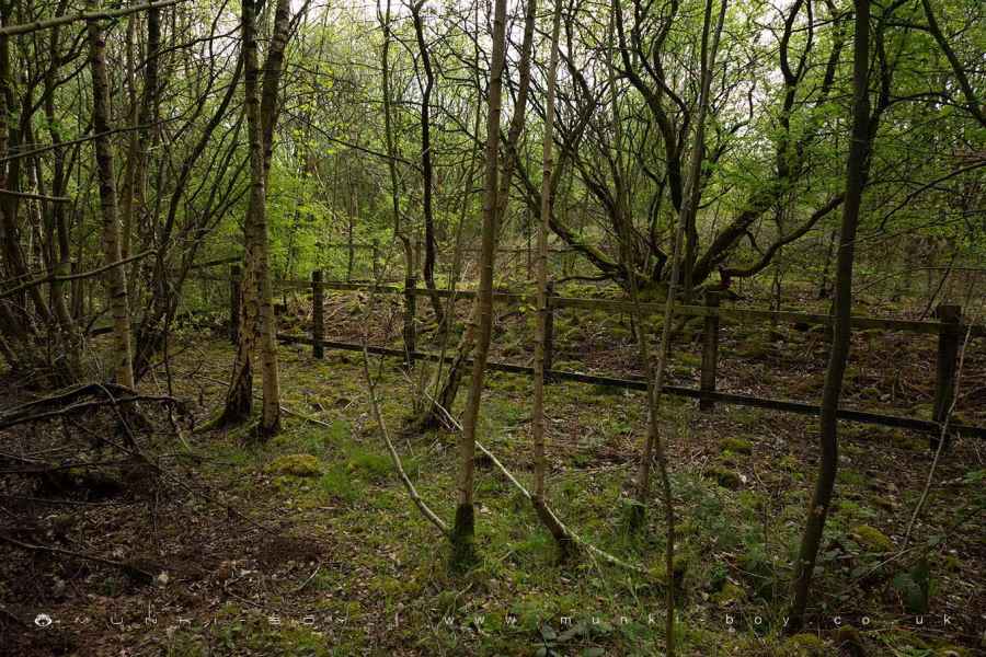
The ruins of Ellerbeck Colliers seem to indicate a large complex of what could be mine drainage and possibly filter beds down near the stream, which appears to be a purpose built extension into the brook following the bottom of the large embankment. The main colliery and shafts above. There are many walls and heaps of spoil and strange bits of old machinery scattered through the undergrowth.
The colliery remained active longer that nearby Duxbury Park Colliery and closed sometime in the latter half of the 20th Century.
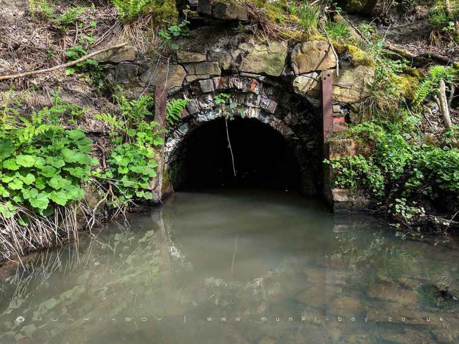
Nearby a large embankment held the railway line as it passes over the small clough of Eller Brook, which is culverted below. The brook looks a bit polluted and grey here, in contrast to the areas downstream that are rather pretty.
An area to the North - now fields - was open-cast mined with the first coal seam around 7 metres down.
Created: 2 November 2019 Edited: 29 November 2023
Ellerbeck Collieries (ruin)
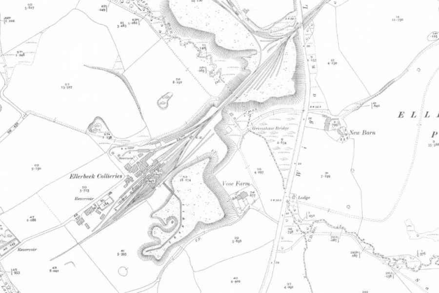
Ellerbeck Collieries (ruin) LiDAR Map

Contains public sector information licensed under the Open Government Licence v3.0
Local History around Ellerbeck Collieries (ruin)
There are some historic monuments around including:
The Moat House moated site 600m WNW of St David's ChurchCross base on Standish Wood Lane 700m south east of Standish HallHaigh Sough mine drainage portal, 310m west of Park HouseMoated site at Arley Hall, Haigh near WiganMabs Cross on Standishgate, 20m west of Mabs Cross School buildingHeadless Cross, GrimefordBretters Farm moated site and two fishpondsCross base at the junction of Standish Green Lane, Standish Wood Lane and Beech Walk, 200m NNW of Strickland House Farm, StandishPike Stones chambered long cairnMarket cross in the marketplace to the west of St Wilfrid's Church, StandishCross base on Green Lane 300m north of Strickland House Farm, StandishGidlow Hall moated site, Aspull, 560m NNE of Pennington Hall.