
Crooked Edge Hill by munki-boy
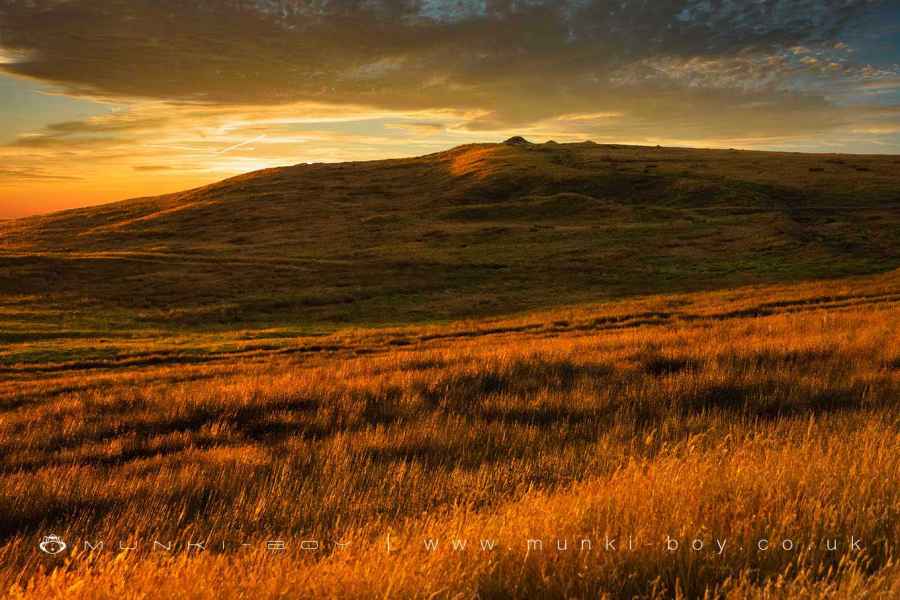
Crooked Edge Hill
Crooked Edge Hill, or Two Lads is a small peak on the southwestern slopes of Winter Hill, not as prominent as The Pike but noticeable. Steeped in mysterious folklore and probably ancient history it also offers a bit of exertion for excercise and great views from the top.
Reckoned by some to be the site of an ancient hillfort - it does have a suggestive shape - there have been Roman finds on the hill and nearby and a good number of prehistoric flints. Evidence of a ‘rampart’ has been suggested but this has been deemed to be a geological feature (as it seems to me) - not that this couldn’t be utilised defensively. The Roman finds could suggest the hill was perhaps used as a temporary camp, while the find of a civil war, bugle mouthpiece could indicate the hill was defencible enough to be useful at that time.
Other notably peculiar features are the drainage ditches common on Winter Hill. These often form a ditch and bank structure and sometimes follow the line of ancient boundaries, that are also confusingly formed with a ditch and bank.
Which hill is this? On the OS maps the hill is marked ‘Two Lads’, and ‘Crooked Edge Hill’ is off to the west downslope. However, The Two Lads is the name of a monument on top of the hill. I haven’t seen any early references to ‘Two Lads’, but the area shown as Crooked Edge Hill on the OS maps was known as something like ‘Crooked Brook Head’ (Cringelbrochevyd 1285)- taking its name as the source of the stream to the west. Water was a priority in the past, now we like hills for leisure. Other local names include ‘Wilders Moor’ on the current maps and ‘summit of Horwich Moor’ (Rasbotham C18).
Created: 11 April 2021 Edited: 29 November 2023
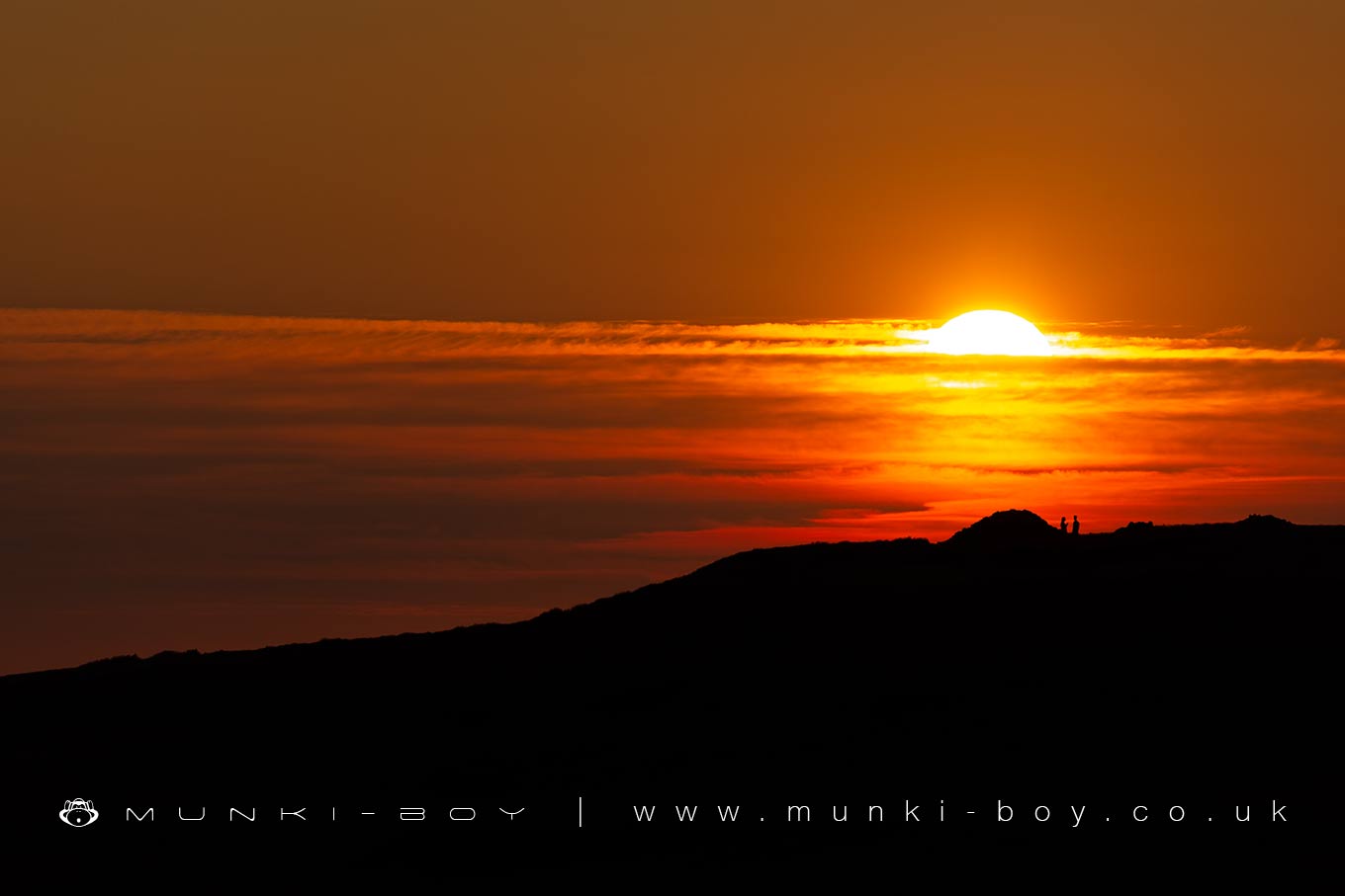
Over the Two Lads on Crooked Edge Hill
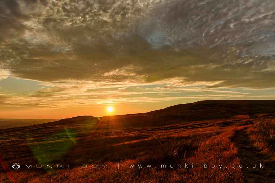
Crooked Edge Hill
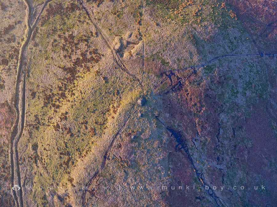
Crooked Edge Hill LiDAR Map

Contains public sector information licensed under the Open Government Licence v3.0
Local History around Crooked Edge Hill
There are some historic monuments around including:
Steam tramway reversing triangleRound cairn on Noon HillHeadless Cross, GrimefordGidlow Hall moated site, Aspull, 560m NNE of Pennington HallRound cairn 280m west of Old Harpers FarmPike Stones chambered long cairnRound Loaf bowl barrow on Anglezarke MoorRound cairn on Winter Hill.


