Creams Paper Mill (ruin) by munki-boy
Creams Paper Mill (ruin)
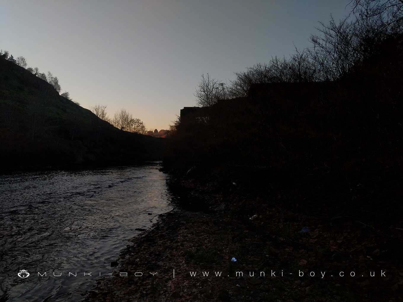
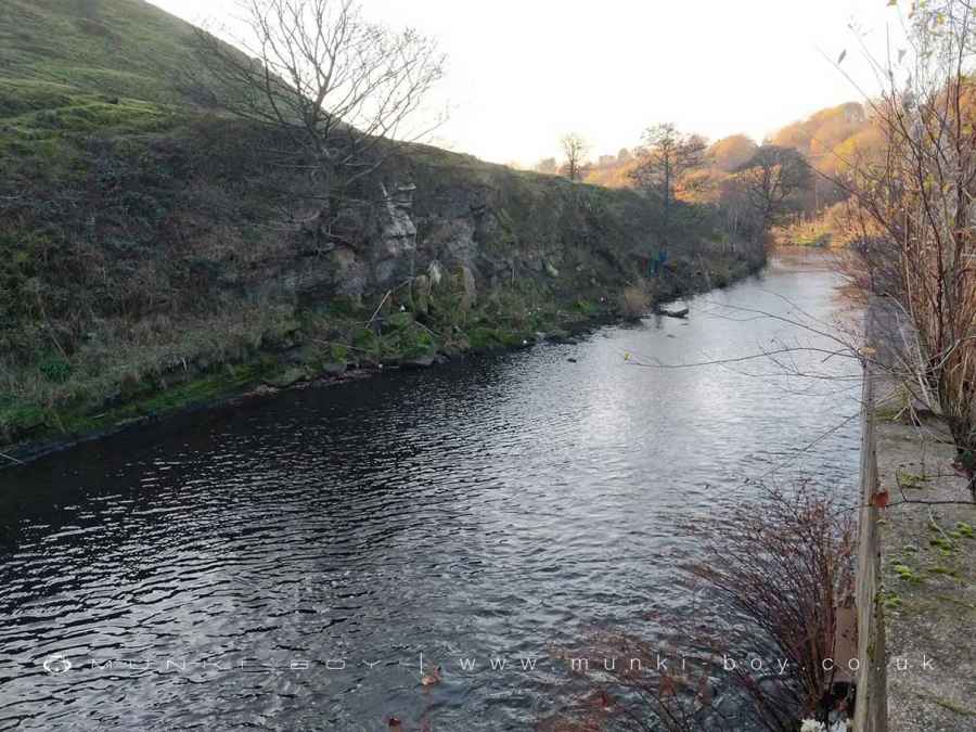
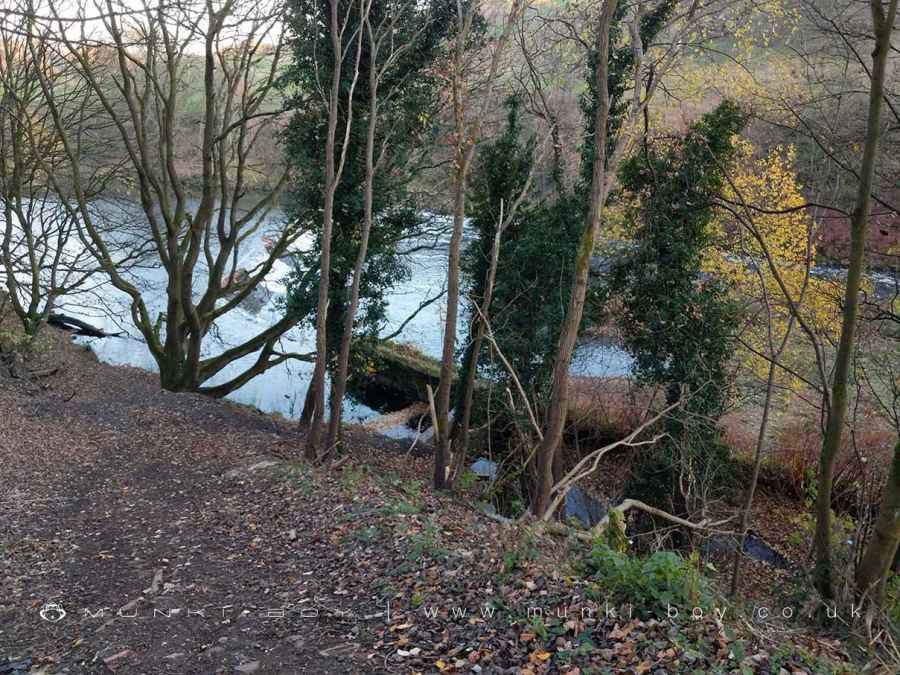
Creams Mill was located beside the River Irwell at Ash Clough, Little Lever.
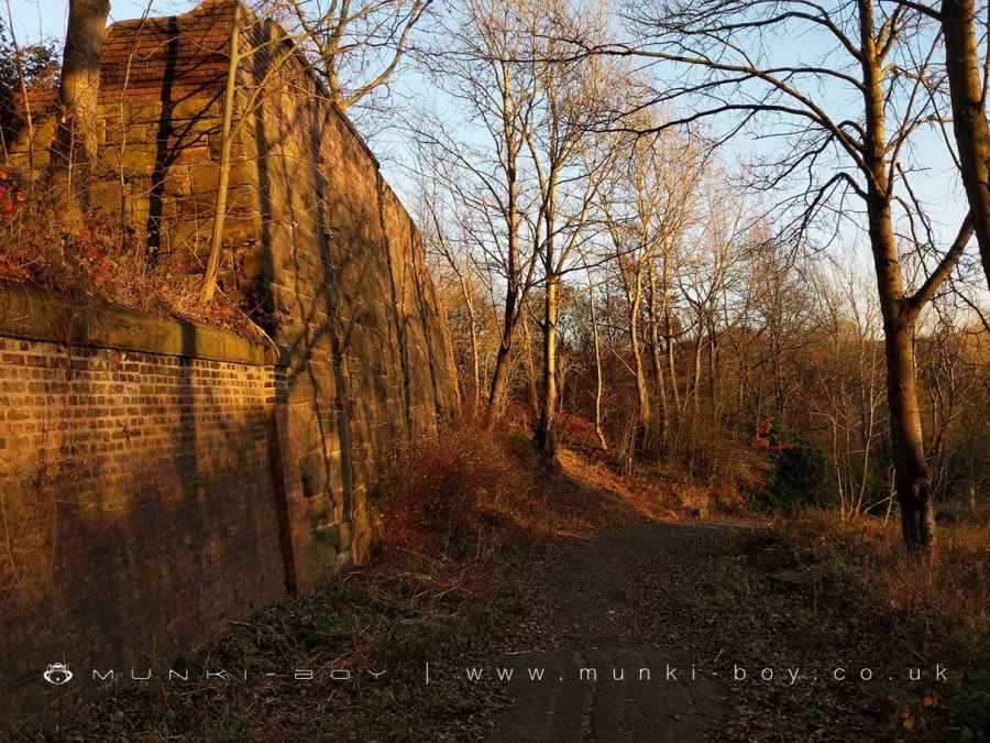
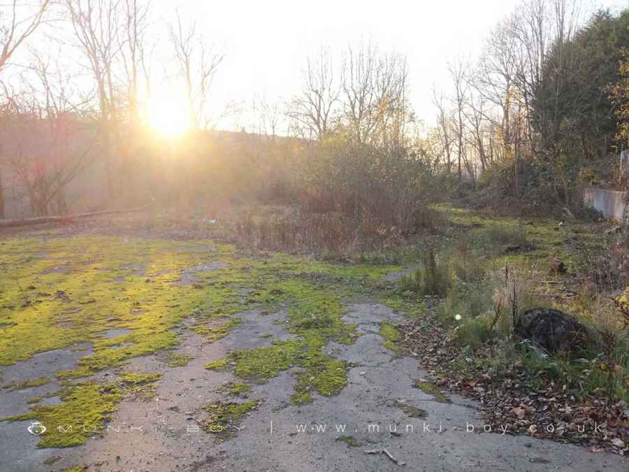
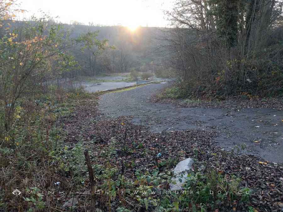
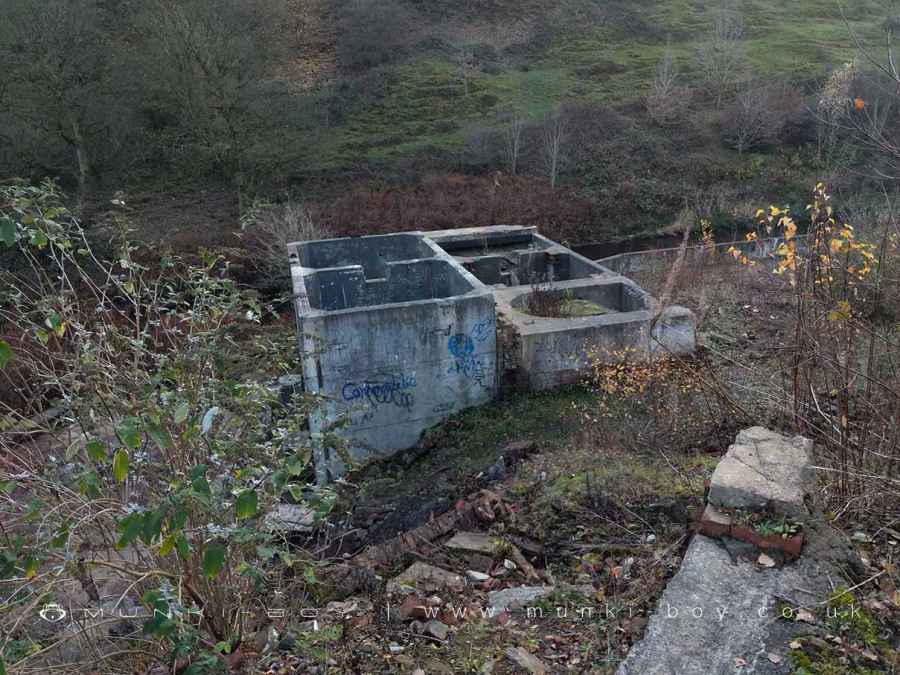
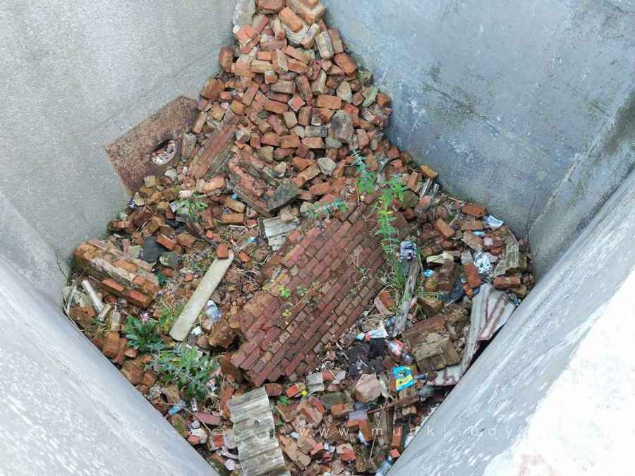
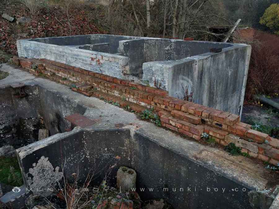
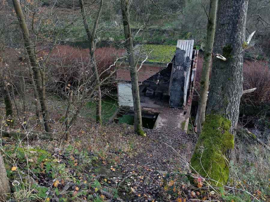
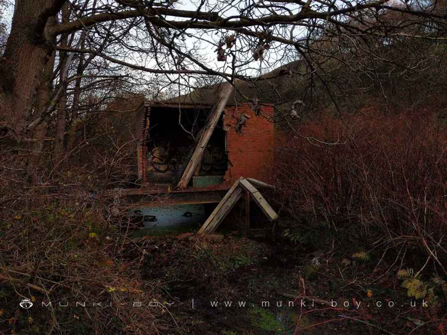
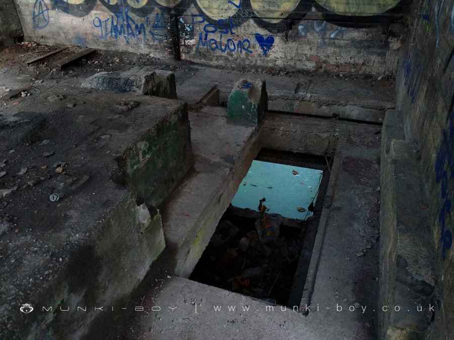
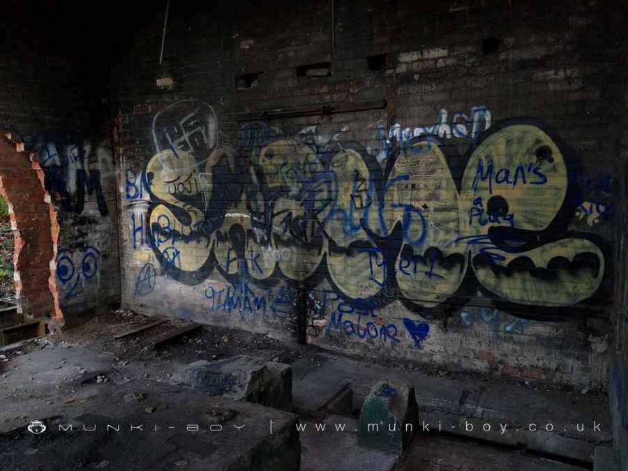
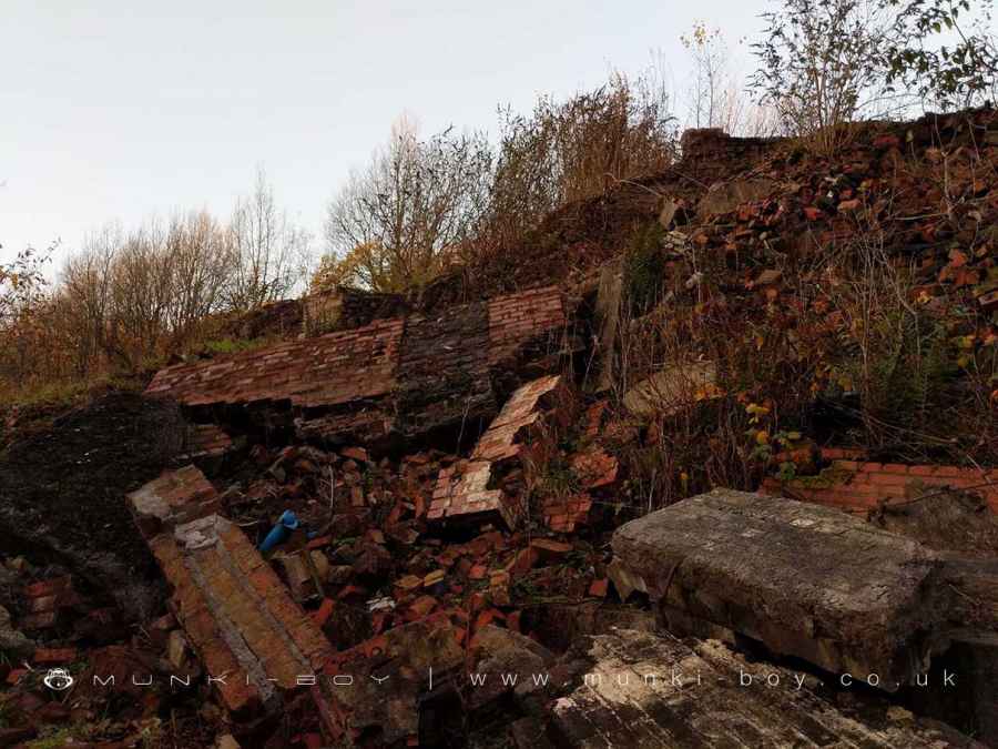
The ruins here are mostly from a later mill that continued after the older mills. The most recent mill on the site of the former Creams Paper Mill was owned by Mondi Paper; closure was announced in 2004 with rising utility prices given as the main factor. Most of the upstanding buildings were demolished, leaving large concrete areas with remaining rubble. There are a few upstading walls - aside from those constructed to hold the hillside at bay - and also several, open concrete chambers that are quite deep - getting out looks like it could be difficult.
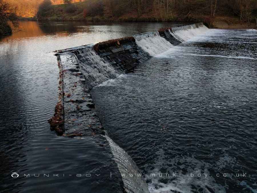
The lower part of the mill was beside the River Irwell where a long weir with bywash supplying water and presumably power to the early mill. The upper part of the mill is beside the Bolton and Bury which would have provided the transport link. The canal here has been out of use for many years.
History of Creams Paper Mill
Creams Paper Mill is thought to have been founded in 1677 and operated by the Crompton family for many generations. Joseph Bealey inherited the mill after Adam Crompton’s death in 1812. The Hughes family ran it until 1816, when they went bankrupt.They, along with the Bealey family, are credited with developing creams paper and creams envelope crests. The mill was bought in 1823 by John and James Brooke who passed it on to their sons Oswald and Henry in 1840 after which they started trading as Brooke Brothers Ltd
Oswald’s son Philip took over the running of Creams Mill in 1880 when his father died at age 52. He ran the company until 1917. Then, Philip’s cousin Bertram replaced him in managing the company. After Bertram died suddenly in 1923, his brother Cedric stepped in to manage Creams but he was unable to save it from closure due to its’ old-fashioned machinery and lack of modernization during World War One. In 1927 Creams was closed and dismantled.
Created: 23 October 2021 Edited: 29 November 2023
Creams Paper Mill (ruin)
Irwell (Roch to Croal) Details
Irwell (Roch to Croal)
Irwell (Roch to Croal) is a river in Greater Manchester
Irwell (Roch to Croal) takes in water from an area around 20.107 km2 in size and is part of the Croal Irwell catchment area.
Irwell (Roch to Croal) is 7.771 km long and has been heavily modified by industry in the past.
Creams Paper Mill (ruin) LiDAR Map

Contains public sector information licensed under the Open Government Licence v3.0
Local History around Creams Paper Mill (ruin)
There are some historic monuments around including:
Canal tunnel entrances and wharfLime kiln and associated culvert 50m north of Worsley Methodist ChurchMedieval moated site and later fortified manor house known as Bury Castle 100m west of the parish churchRingley Old BridgeWardley Hall moated site, WorsleyAffetside Cross at Affetside 75m north west of the Pack Horse InnPromontory fort called Castlesteads on the east bank of the Irwell 550m SSE of Banks FarmRadcliffe Tower and site of hall 100m south west of the parish church in Radcliffe.


