Castle Ring by munki-boy
Castle Ring
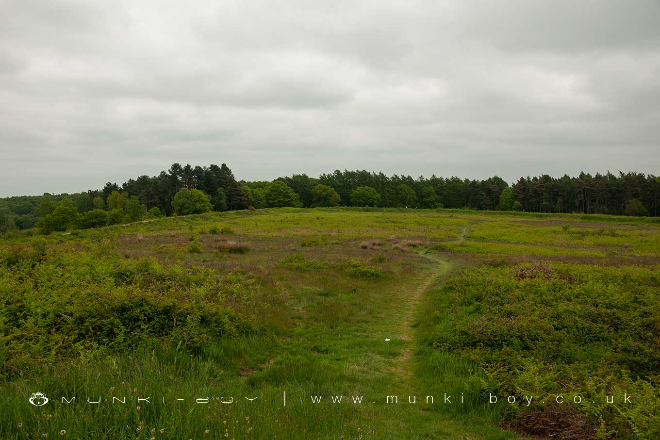
Castle Ring is situated at the southeast edge of Cannock Chase and includes the earthwork and buried remains of an Iron Age hillfort; and the ruins and buried remains of a small medieval building identified as part of a hunting lodge.
Castle Ring occupies the summit of a small hill which forms the highest point on Cannock Chase. Castle Ring hillfort is an roughly pentagonal in plan and and ecloses an area of around 3.6 hectares. For almost a complete circuit of the perimeter, the defences at Castle Ring include a sequence of banks and ditches. There are usually three banks with two ditches in-between.
On the east side of the Castle Ring hillfort over more level terrain, the central bank is more substantial, the outer line of defences projects outwards and an additional length of ditch and counterscarp banking has been added.
The five sides of the main rampart are remarkably straight, ranging in length from 65 metres along the east side to 220 metres along the north. The height of the inner bank varies up to five metres above the silted bottom of the ditch and is most substantial on the north and west sides where it has a uniform broad flat-top which is thought to have been created when the bank was in use as a walkway from which to view the landscape in the 18th or early 19th century.
Two paths, one running across the hillfort interior and the other skirting the northern defences are believed to be contemporary with this walk and were laid out as carriage rides from the lodge of Beaudesert Hall, the 16th century home of the Paget family which is situated approximately 1 kilometer to the northeast of Castle Ring.
Traces of a counterscarp bank are visible on both sides of the outer ditch for the remainder of its circuit, but the western and south western sections of this external bank have been slightly eroded by the encroachment of modern tree planting.
The original entrance into the Castle Ring’s interior lies at the junction of the northern and eastern ramparts. The inner bank is inturned for some 15 metres into the interior and guard chambers will survive as buried features. The break in the south western defences is not an original feature and is thought to have been created when the carriage drives were laid out.
No earthworks associated with the occupation of the hillfort are visible in the interior but a geophysical survey of the western third of the interior identified a series of circular areas, between 10 and 12 metres in diameter, which have been interpreted as circular huts and will survive as buried features.
In the north western corner of the interior are the earthworks and excavated remains of a small building which sits on a relatively level shelf dominating the remainder of the enclosure. The building is rectangular in plan and a chamfered plinth is visible in places. At least two internal rooms are discernible. A sandstone lined drain is visible in the south western corner of the southern room and the position of its door is marked by a single jamb, whilst in the central part of the larger room is a chamfered sandstone pillar base.
The building was partly excavated in the mid-19th century by William Molyneux, a local historian, and fragments of pottery, flint and metal objects were also recovered. The remains indicate a medieval building of high social status and the wide foundation walls, and documentary references to a winding stair, suggest that originally there was a first floor chamber above the two lower cells. It is unlikely that this building stood in isolation and ancillary structures are believed to survive as buried features particularly on the level shelf along the western side of the hillfort.
Cannock, in the royal forest, was visited by both William II and Henry I, and the existence of a hunting lodge is confirmed in the reign of Henry II with the payment of a penny a day to its keeper. The abandonment of the lodge at Cannock appears to have occurred early in Henry II’s reign and in 1189 the manors of Cannock and Rugeley were granted to the Bishop of Lichfield. The first reference to any building by the bishops at Beaudesert is in an account of 1304-5 which refers to a hall and stables, but it is unclear whether the expenditure was on the buildings within Castle Ring or on the episcopal manor house later to become Beaudesert Hall. The modern steps across the hillfort’s southern defences are excluded from the scheduling but the ground beneath these features is included.
Castle Ring is in Cannock Chase AONB, a designated Area of Outstanding Natural Beauty.
Created: 28 June 2021 Edited: 29 November 2023
Castle Ring Details
Castle Ring is a 242 metre high hill in Staffordshire.
Castle Ring LiDAR Map

Contains public sector information licensed under the Open Government Licence v3.0
Local History around Castle Ring
There are some historic monuments around including:
Moated site and bloomery in Courtbanks CovertCastle Ring, a multivallate hillfort and medieval hunting lodgeWorld War I instruction model of a trench system, and associated earthwork and building remains 850m north west of Fairoak Cottages, Cannock ChaseMoated site of Handsacre Hall..


