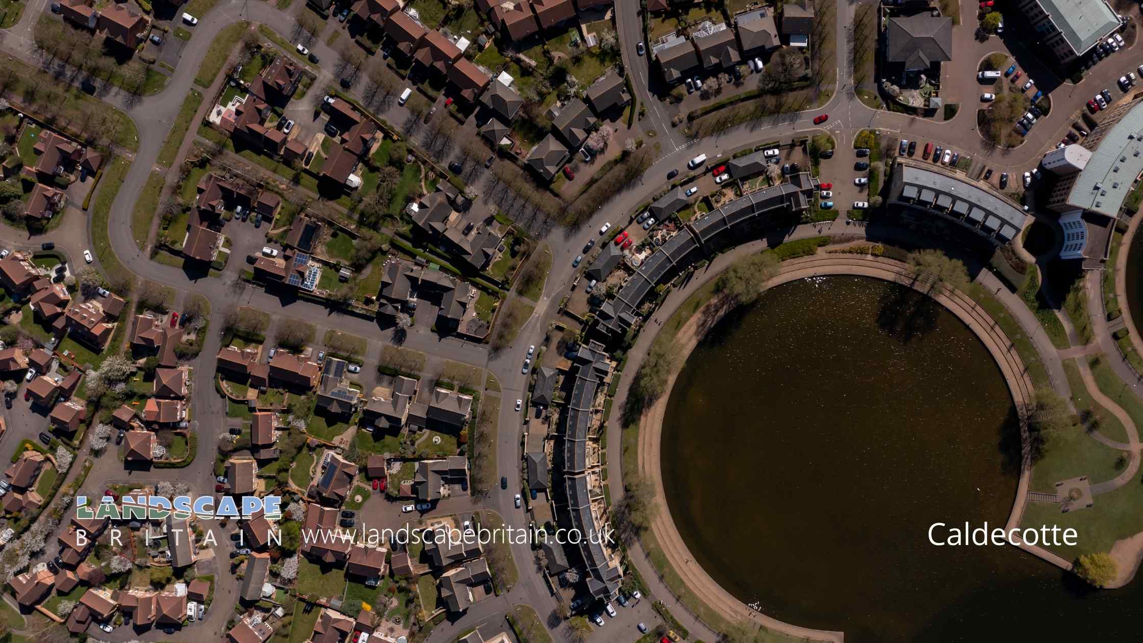
Caldecotte
Caldecotte
Created: 4 October 2022 Edited: 29 November 2023
Caldecotte
Local History around Caldecotte
There are some historic monuments around including:
Moated site with associated earthworks, 770m south of St Mary's Church, south of the junction of Childs Way and Fulmer StreetCivil War defences in Bury FieldMedieval manor of SimpsonMoated site and fishpond at Old Rectory Farm.Bradwell Bury: a moated site and associated manor house remains at Moat HouseGreat Linford BrickworksMoated site known as Caves Manor immediately east of the Manor HouseRoman town of Magiovinium and Roman fortTyringham BridgeFishpond in Water Spinney 600m SE of St Giles's Church TattenhoeMoated site 70m south of Long Plantation, Hanslope ParkSnelshall Benedictine Priory: a moated priory site and fishponds north of Briary PlantationMoated site, fishpond and associated earthworks 150m west of Loughton ManorA medieval manorial complex comprising a twin moated site, fishpond and associated earthworks 750m west of St Mary's ChurchShrunken medieval village at CaldecotteMoated site and fishponds at Great WoolstoneTickford BridgeMoated site, fishponds and associated earthworks 150m south-east of Haversham ManorBowl barrow at junction of Crofts End and Bedford RoadSecklow Hundred mound: a moot at the junction of North Row and North Ninth Street.Bradwell castle mound: a motte and bailey castle 80m north east of St. Lawrence's Church.Shrunken Medieval Village, Woughton on the GreenMoated site, fishponds and associated earthworks, west of All Saints Church, Milton Keynes Village.Bradwell Abbey: a Benedictine priory, chapel and fishpondThe Toot: a motte and bailey castle and later manorial complex 450m south west of St Mary's ChurchMoated site, fishponds and deserted medieval village of Tattenhoe, 300m west of Home Park Farm.Moated site and associated fishpond south of Mill Lane.


