Buttermer Dubs by munki-boy
Buttermere Dubs
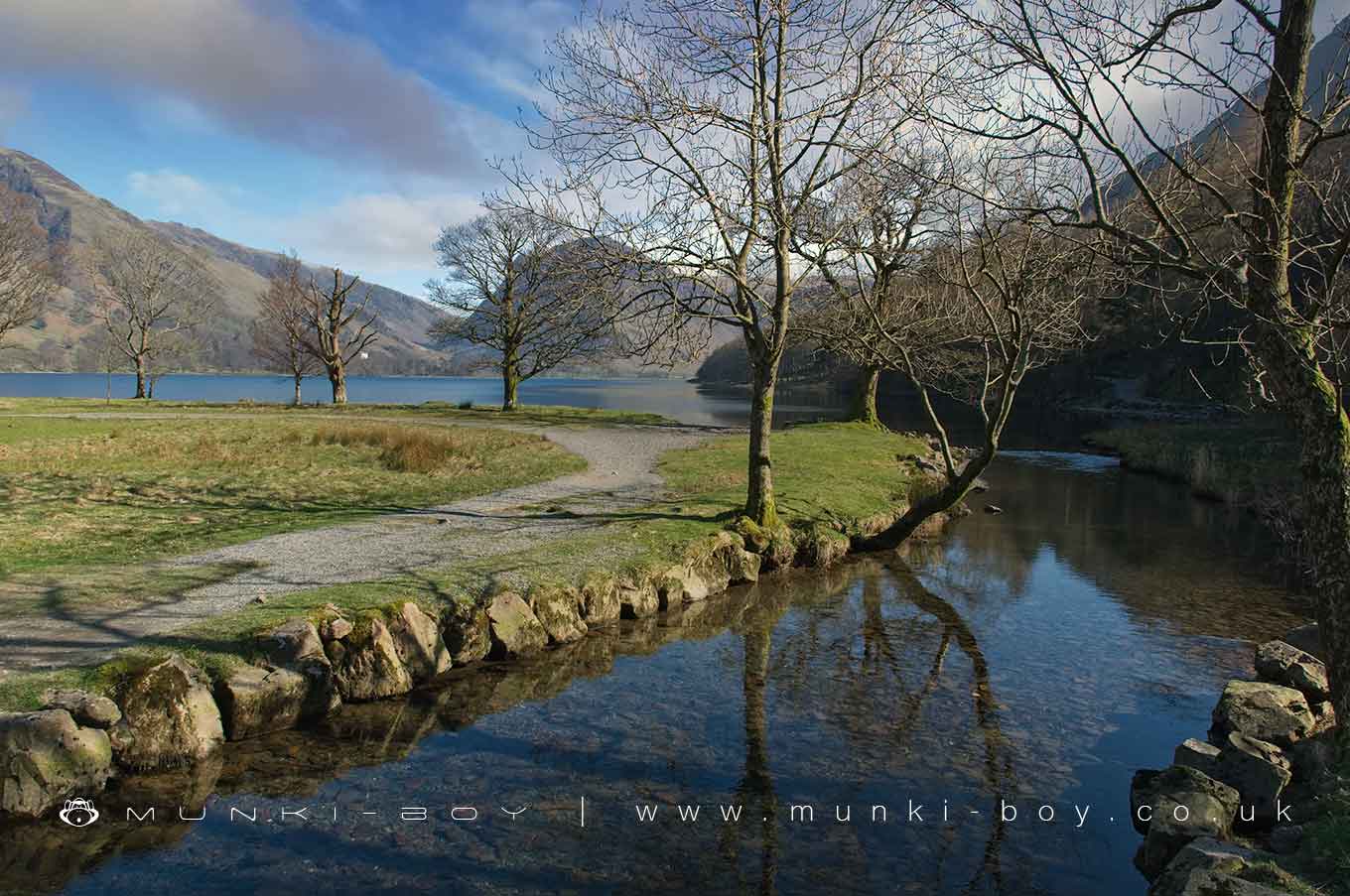
Buttermere Dubs is in The Lake District National Park in England.
A section of the River Cocker connecting Crummock Water and Buttermere.
Created: 6 March 2021 Edited: 29 November 2023
Buttermere Dubs
Cocker - Crummock Water and Buttermere Details
Cocker - Crummock Water and Buttermere
Cocker - Crummock Water and Buttermere is a river in Cumbria
Cocker - Crummock Water and Buttermere takes in water from an area around 40.748 km2 in size and is part of the Cocker catchment area.
Cocker - Crummock Water and Buttermere is 24.016 km long and has been heavily modified by industry in the past.
Local History around Buttermere Dubs
There are some historic monuments around including:
Smithy Beck settlement 1.10km north-west of Low GillerthwaitePrehistoric cairnfield and a Romano-British farmstead and its associated field system 1.24 km ESE of Low GillerthwaiteGillerthwaite and Dodsgill Beck medieval settlements, associated field systems and cairnfields 790m ENE and 370m north-east of Low GillerthwaiteSmithy Beck prehistoric cairnfield, charcoal burning sites, a bloomery and associated earthworks 1.97km WNW of Low GillerthwaiteSmithy Beck settlement: Latterbarrow longhouse 860m north west of Low GillerthwaiteForce Crag mines and barytes mill and a prehistoric cairnfieldWoundell Beck medieval settlement, associated field system and cairnfield 890m west of Low GillerthwaiteRomano-British enclosed hut circle settlement and associated annexe at Lanthwaite GreenMoated site of Loweswater PeleSmithy Beck settlement 1.43km north-west of Low GillerthwaitePrehistoric cairnfield 1.0km ESE of Low GillerthwaiteRound cairn on GrasmoorRomano-British farmstead 200m west of Lambing KnottShieling settlement close to the mouth of Scale BeckMedieval shielings at Great Cove, 2.68km south of Low Gillerthwaite.


