Blue Bridge
Blue Bridge
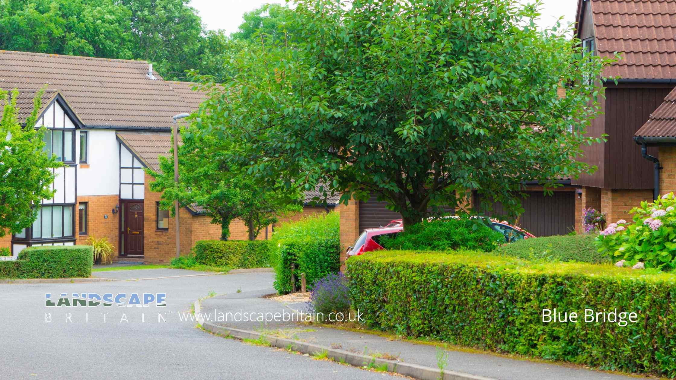
Blue Bridge is an area of Milton Keynes.
Created: 4 October 2022 Edited: 29 November 2023
Blue Bridge
Local History around Blue Bridge
There are some historic monuments around including:
Great Linford BrickworksMoated site with associated earthworks, 770m south of St Mary's Church, south of the junction of Childs Way and Fulmer StreetMotte and bailey castle, deserted village and monastic grange at Old WolvertonMoated site, fishponds and deserted medieval village of Tattenhoe, 300m west of Home Park Farm.Fishpond in Water Spinney 600m SE of St Giles's Church TattenhoeMoated site 70m south of Long Plantation, Hanslope ParkSnelshall Benedictine Priory: a moated priory site and fishponds north of Briary PlantationBradwell Bury: a moated site and associated manor house remains at Moat HouseMoated site and fishpond at Old Rectory Farm.Moated site, fishpond and associated earthworks 150m west of Loughton ManorA bowl barrow on Church Hill 200m south of churchBradwell castle mound: a motte and bailey castle 80m north east of St. Lawrence's Church.Group of ring ditches and enclosures at TyringhamA medieval manorial complex comprising a twin moated site, fishpond and associated earthworks 750m west of St Mary's ChurchTyringham BridgeRoman villa SE of Cosgrove HallMoated site, fishponds and associated earthworks 150m south-east of Haversham ManorWolverton iron trunk aqueductCastlethorpe Castle: a motte and bailey, possible ringwork and associated earthworks 200m south-east of Castlethorpe LodgeRemains of the church and churchyard of St Mary MagdalenThe Toot: a motte and bailey castle and later manorial complex 450m south west of St Mary's ChurchBradwell Abbey: a Benedictine priory, chapel and fishpondSecklow Hundred mound: a moot at the junction of North Row and North Ninth Street..


