

Black Coppice by munki-boy
Black Coppice
The counterpart to the old White Coppice, Black Coppice sits on Anglezarke Moor above the Stronstrey Bank.
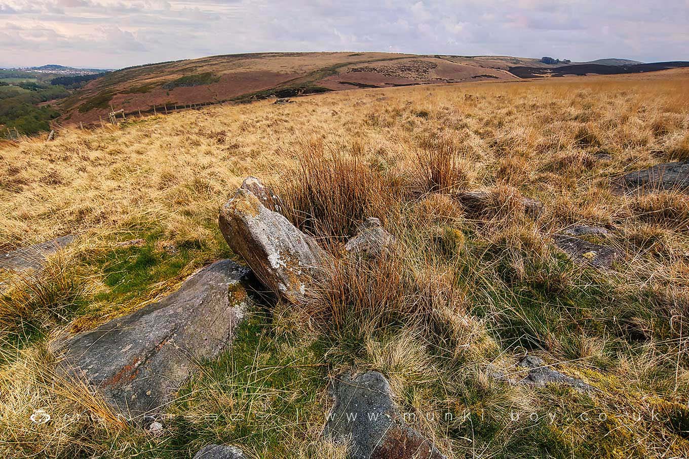
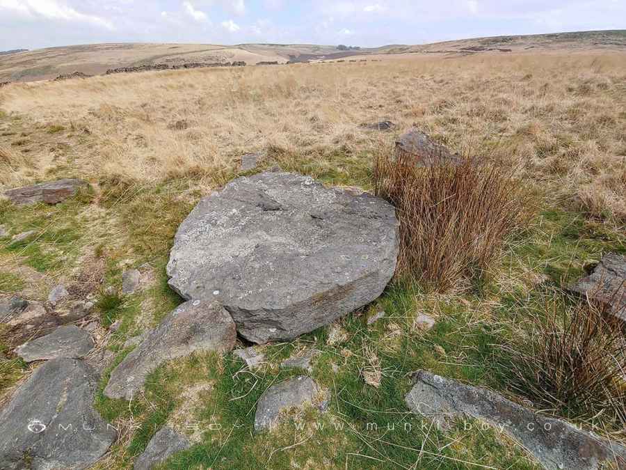
The area is moorland permeated by large gritstone boulders mostly the country rock, Fletcher Bank Grit but there are a few interesting erratics around, including some Dolomite-like limestone rocks and a few fossils can be found.
Fletcher Bank Grit is part of the the well-known Millstone Grit grouping of sedimentary rocks and there are several partially completed millstones scattered around. There is an easy-to-spot group of three near the main footpath above the quarry. The millstones look to be late 19th to early 20th Century examples (compared to examples from Millstone Edge in Derbyshire where a succession can be found) and are probably contemporary with the nearby quarry which was worked at a similar time. However, the millstone makers have taken advantage of the loose boulders lying around, rather than quarrying fresh rock.
One roughed-out example that has been deliberately cut hexagonally seems to be an example of a newer method as Radley states “A block of gritstone was hewn into a hexagonal form, and placed on a rough pedestal, trimmed, inverted, and completed”. Yet Tucker in Millstone making in the Peak District of Derbyshire says “The evidence for the hexagonal stage seems very scanty”. He’s obviously looking in the wrong county.
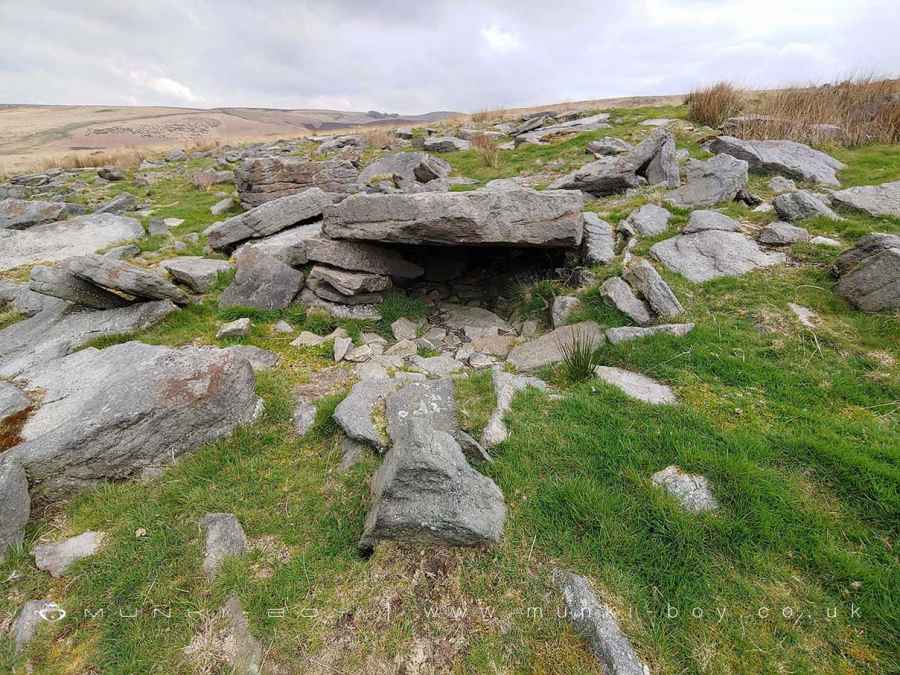
There are also a number of rock shelters on the moorland and downslope that appear to be formed from a natural rock overhang having smaller rocks built-up a the sides. There are also many examples of similar rocks that haven’t been adapted. One has been proposed as a lost Chambered Cairn but this is quite dubious. The hexagonal millstone “placed on a rough pedestal”, as it is looks very much the same.
It’s quite difficult to make-out what is natural and what has been displaced by industry among the half-buried scatter.
Created: 26 April 2022 Edited: 26 March 2024
West Pennine Moors SSSI Details
Type: SSSI
Black Coppice
Black Coppice LiDAR Map

Contains public sector information licensed under the Open Government Licence v3.0
Local History around Black Coppice
There are some historic monuments around including:
Round Loaf bowl barrow on Anglezarke MoorPike Stones chambered long cairnRound cairn on Noon HillRound cairn 280m west of Old Harpers FarmHeadless Cross, GrimefordBretters Farm moated site and two fishpondsRound cairn on Winter Hill.


