


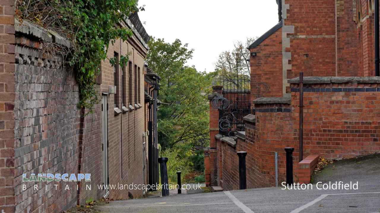
Sutton Coldfield is a Town in the county of West Midlands.
Sutton Coldfield is a town in the West Midlands known for its Royal pedigree – it was given Royal Town status by King Henry VIII in 1528. The town has a number of historic buildings and parks, as well as being home to Sutton Park, one of the largest urban parks in Europe.
Sutton Coldfield’s history can be traced back to the Anglo-Saxon era, when it was known as suthtun. The name ‘Sutton’ is thought to derive from the Old English suth and tun, meaning ‘south town’. In the Domesday Book of 1086, Sutton Coldfield was recorded as having eight manors.
The town was granted a charter by King Henry III in 1243, making it a market town. It was here that Edward VI granted the first charter for a grammar school in 1527, which led to the founding of Sutton Grammar School (now Sutton Coldfield Grammar School for Girls).
Sutton Coldfield’s coat of arms, granted by King Henry VIII, includes three suttons (a type of wildfowl) and two chevrons, which are thought to represent the town’s links with the Royal family.
Today, Sutton Coldfield is a thriving town with a number of independent businesses and a lively town centre. The town is well-connected, with good transport links to Birmingham and the wider West Midlands.
Sutton Coldfield postcode: B76 1
There are great places to visit near Sutton Coldfield including some great towns, shopping centres, cities, canals, country parks, woodlands, lakes, nature reserves and airports.
Sutton Coldfield's best nearby towns can be found at Dudley, Sutton Coldfield, and West Bromwich.
Merry Hill, and Bullring & Grand Central are some of Sutton Coldfield best shopping centres to visit near Sutton Coldfield.
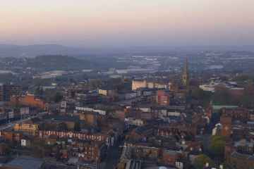
Birmingham, and Coventry are some of Sutton Coldfield best cities to visit near Sutton Coldfield.
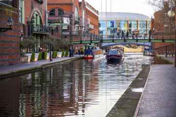
Canals to visit near Sutton Coldfield include Birmingham to Wolverhampton Canal.
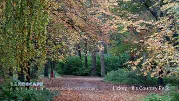
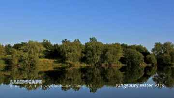
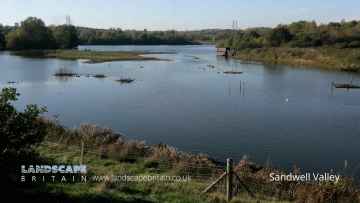
Country Parks to visit near Sutton Coldfield include Lickey Hills Country Park, Woodgate Valley Country Park, Sutton Park, Kingsbury Water Park, Sandwell Valley Country Park, and Coombe Country Park.
Places near Sutton Coldfield feature a number of interesting woodlands including Lickey Hills Country Park.
Don't miss Kingsbury Water Park's lakes if visiting the area around Sutton Coldfield.
RSPB Sandwell Valley is a great place to visit close to Sutton Coldfield if you like nature reserves.
Sutton Coldfield is near some unmissable airports like Birmingham Airport,
Sutton Coldfield History
There are some historic monuments around Sutton Coldfield:
Places to see near Sutton Coldfield

Etymology of Sutton Coldfield
The name “Sutton Coldfield” appears to come from this time, being the “south town” (i.e. south of Tamworth and/or Lichfield) on the edge of the “col field”. “Col” is usually derived from “charcoal”, charcoal burners presumably being active in the area.
History of Sutton Coldfield
The earliest known signs of human presence in Sutton Coldfield were discovered in 2002–2003 on the boundaries of the town. Archaeological surveys undertaken in preparation for the construction of the M6 Toll road revealed evidence of Bronze Age burnt mounds near Langley Mill Farm, at Langley Brook. Additionally, evidence for a Bronze Age burial mound was discovered, one of only two in Birmingham with the other being located in Kingstanding. Excavations also uncovered the presence of an Iron Age settlement, dating to around 400 and 100 BC, consisting of circular houses built over at least three phases surrounded by ditches. Closer to Langley Brook (a tributary of the River Tame), excavations uncovered the remains of a single circular house surrounded by ditches, dating from the same period.
Near to Langley Mill Farm is Fox Hollies, where archaeological surveys have uncovered flints dating from the New Stone Age. Amongst the finds in the area were flint cores and a flint scraper, which had been retouched with a knife. The presence of flint cores suggest that the site was used for tool manufacture and that a settlement was nearby. Additionally, a Bronze Age burnt mound was also discovered in the area.
In his History of Birmingham, published in 1782, William Hutton describes the presence of three mounds adjacent to Chester Road on the extremities of Sutton Coldfield (although now outside the modern boundaries of the town). The site, southwest of Bourne Pool (named “Bowen Pool” by Hutton), is called Loaches Banks and was mapped as early as 1752 by Dr. Wilks of Willenhall. Hutton interpreted the earthworks as a Saxon fortification but further archaeological work led Dr. Mike Hodder, now the Planning Archaeologist for Birmingham City Council, to believe that the site was an Iron Age hill-slope enclosure. Centuries of agriculture on the land has severely affected the visibility of the features, with the earthworks now only apparent in aerial photography.
Further evidence of pre-Roman human habitation are preserved in Sutton Park. A major fire in the park in 1926 revealed six more mounds near Streetly Lane, excavations of which uncovered charred and cracked stones within them and pits below the two largest mounds. Although their date of origin is unknown, claims they were of Bronze Age origin were disproved. The mounds are now covered in rough heathland. The area around Rowton’s Well has been the source of many archaeological discoveries such as flint tools, and in the 18th century, worked timbers were discovered near the well, suggesting a possible Iron Age timber trackway built across wet land, similar to others discovered elsewhere in the country. A burnt mound was also discovered in New Hall Valley.


