Pant Glas
Pant Glas is a Village in the county of Gwynedd.
Pant Glas postcode: LL51 9DJ
There are great places to visit near Pant Glas including some great towns, ancient sites, mountains, lakes, historic monuments, old mines and ruins.
Pant Glas's best nearby towns can be found at Pwllheli, and Barmouth.
Pant Glas is near some unmissable ancient sites like St. Cybi's Well,
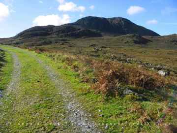
There are a number of mountains near Pant Glas including Y Garn, Arenig Fawr, Snowdon, and Cnicht.
Lakes to visit near Pant Glas include Llyn Ogwen, and Llyn Arenig fawr.
Don't miss Arenig Fawr's historic monuments if visiting the area around Pant Glas.
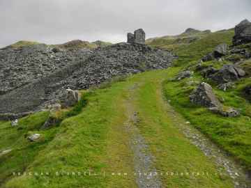
Croesor Quarry is a great place to visit close to Pant Glas if you like old mines.
There are a number of ruins near to Pant Glas including Croesor Quarry.
Pant Glas History
There are some historic monuments around Pant Glas:
- Penarth Fawr Medieval Hall
- Ancient Village N of Llainllan
- Criccieth Castle, Outer Bank Defences
- Ty Coch Prehistoric Settlement
- Early Habitation Site 180m West of Pen-Yr-Allt
- Hut Settlement at Mynydd Graig Goch, Central
- Hut Circle Settlement West of Cwm Farm
- Cloddfa'r Lon Slate Quarry
- Criccieth Castle
- Cefn-Isaf Burial Chamber
- Hafod-y-Wern Long Hut
- Blaen y Cae Slate Quarry
- Hut Group near Pen Llwyn, Carmel
- Standing Stone N of Bettws Fawr
- Hut Circle Settlement Above Gilfach
- Glynllifon standing stone
- Enclosed Hut Circle West of Llwyn Bedw
- Bachwen Burial Chamber
- Hut Group North of Cwmceiliog
- Small Fort Near Nantlle
- Cross-Incised Stone in Llangybi Churchyard
- Graianog Standing Stone & Round Cairns
- Tomen Fawr
- Dinas y Prif Camp
- Enclosed Hut Group North-East of Llystyn Uchaf
- Hut Settlement at Mynydd Graig Goch, South
- Pen-yr-Orsedd Quarry, Blondins and Associated Structures
- Enclosed Hut Circle Settlement North of Rhedynog Felen Bach
- Hut Circle East of Taleifion
- Dorothea Quarry, Pyramids, Inclines, Mill & Winding Houses, etc
- Sundial in Clynnog Fawr Churchyard
- Carn Pentyrch Camp
- Y Foel Camp
- Capel Gallt-Coed
- Hut Circle Settlement East of Dinas-y-Prif
- Huts & Field Systems NE of Nantlle
- Long Hut North of Cwm Farm
- Craig y Dinas Camp
- Dolbenmaen Castle Mound
- Mynydd Graig Goch round cairn
- Hut Group & Field System North West of Tyddyn Mawr (previously known as Hut Group NW of Tyddyn Mawr)
- Cross Inscribed Stone Near Capel Uchaf
- Pont y Cim
- Dinas Dinlle Seagull Trench
- Hut Circle Settlement South-West of Pen-yr-allt Uchaf
- Penbryn Mawr standing stone
- Craig Cwm Silyn round cairn
- Hut Circle South of Cae'r Sais
- Ty Mawr East Slate Quarry Winding Engine House
- Maen Llwyd in Glynllifon
- Castell Caerau
- Enclosed Hut Circle North-West of Tan Rhiw
- Penarth Burial Chamber
- Dorothea Quarry Beam Engine
- Gilfach Copper Mine
- Enclosed Hut Circle Settlement West of Votglas
- Hafoty Ty-Newydd Enclosed Hut Group
- Garnedd-goch round cairn
- Cae'r Odyn Unenclosed Hut
- St Beuno's Well
- Caer Engan
- Hut Settlement at Mynydd Graig Goch, North
- Enclosed Hut Group North West of Cwm Farm
- Llystyn Gwyn Inscribed Stone
- Caer-Dynni Burial Chamber
- Dinas Dinlle Camp
- Ffynnon Gybi
- Craig-y-Tyddyn Camp
- Caerau Ancient Village
- Ystum-Cegid Burial Chamber
- Pen y Gaer Camp
- Burnt Mound East of Pen-y-Gaer
- Tyddyn Mawr, standing stone to SSW of
- Hut Group and Field System E of Coed-y-Brain