Wainman's Pinnacle by munki-boy
Wainman's Pinnacle
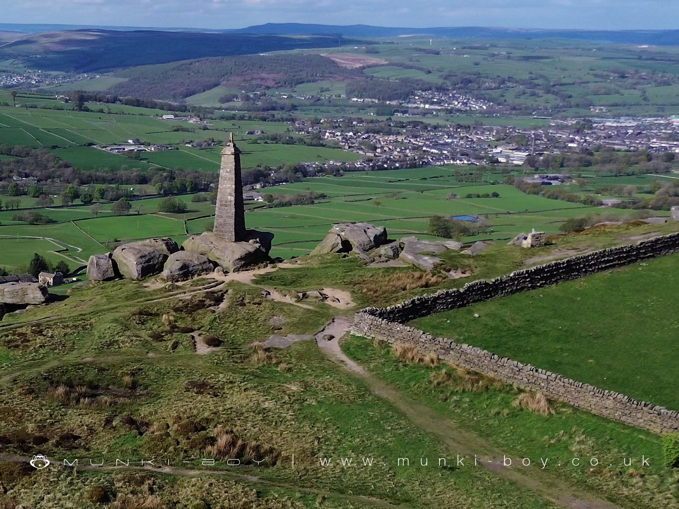
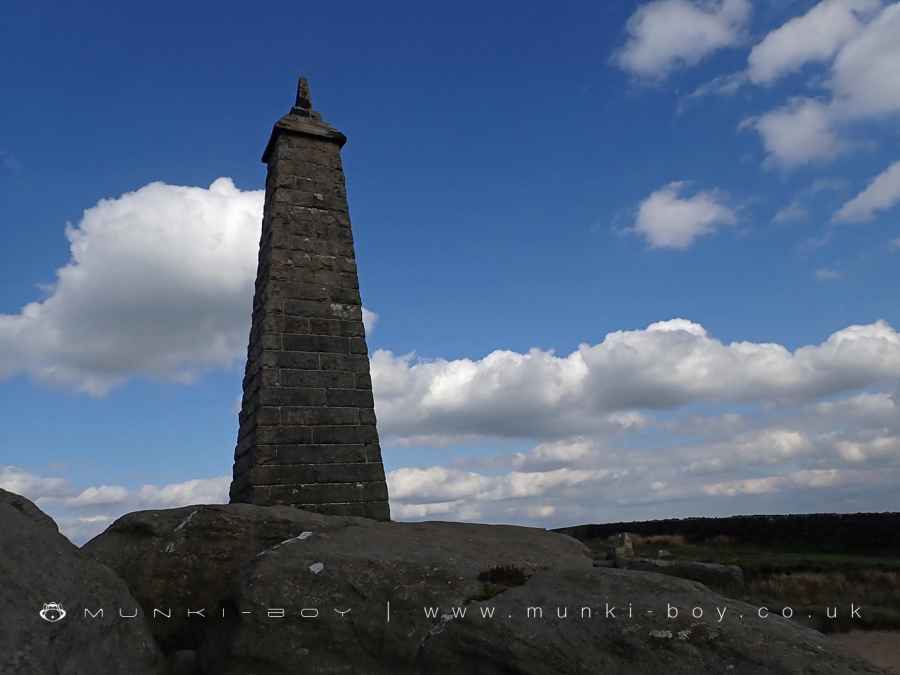
Wainman’s Pinnacle, sometimes referred to historically as Wainman’s Monument, is a striking stone landmark situated on Earl Crag, not far from Lund’s Tower. Although the present structure dates to 1898, earlier maps show a monument on the site as far back as 1848, suggesting that an earlier version stood for many decades before being rebuilt. It is believed to have been first erected by a member of the Wainman family of Carr Head Hall, possibly as a memorial to those who fought in the Napoleonic Wars, including the Battle of Waterloo.
The Pinnacle is constructed from rock-faced stone and takes the form of a tall, tapering pier with a triangular cross-section, topped with coping stones and a pointed finial. Its bold, simple design and commanding position make it visible for miles around, standing sentinel over the moorland.
Local tradition pairs Wainman’s Pinnacle with nearby Lund’s Tower, the two being affectionately nicknamed the “Salt and Pepper Pots” by generations of local residents. Though the names are informal and not officially recorded, they capture the towers’ contrasting forms and their strong presence on the skyline.
Despite its relatively simple appearance, Wainman’s Pinnacle carries a sense of historical pride and resilience. Restored after suffering storm damage in the late 19th century, it continues to serve as a much-loved feature of the South Pennine landscape, drawing visitors to its rugged surroundings.
Created: 26 April 2025 Edited: 30 April 2025
The Salt and Pepper Pots
Wainman's Pinnacle
Local History around Wainman's Pinnacle
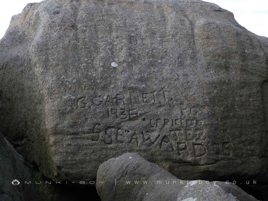
There are some historic monuments around including:
Cup marked rock on north side of barn, 100m north west of the Grey Stones FarmSubcircular enclosed settlement on Horse Close Hill 250m north of Horse Close FarmRock with at least one cup mark 310m east of Cawder Hall FarmRock with one cup at the base of a wall, 250m NNE of Cawder Hall Farm, Horse Close HillCup and ring marked rock 150m west of Low Edge Farm, Bradley MoorRock with one cup in field south east of Great Wood Plantation, 450m north east of Cawder Hall Farm, Horse Close HillCup and ring marked rock in wall at High Snaygill 80m east of High LaitheOre hearth smeltmill and wood drying kiln in Lumb Clough Wood, 350m south east of Bank FootCup, ring and groove marked rock south of derelict wall on Bradley Moor, 70m south west of Low Edge FarmRock with one cup in east end of Great Wood Plantation, 375m NNE of Cawder Hall Farm, Horse Close HillTwo carved rocks in field 130m north east of Cawder Hall Farm, Horse Close HillCarved rock on bank at side of track opposite Garth House, 60m south west of Snaygill FarmBlack Hill round cairnRock with at least 15 cups 240m south of Great Wood Laithe, Horse Close HillLong barrow and superimposed round cairn on Black HillRock with at least six cups 170m north west of Grey Stones FarmHanging Stone or Watersheddles CrossKildwick Bridge.


