Two Lads (Withens Moor) by munki-boy
Two Lads (Withens Moor)
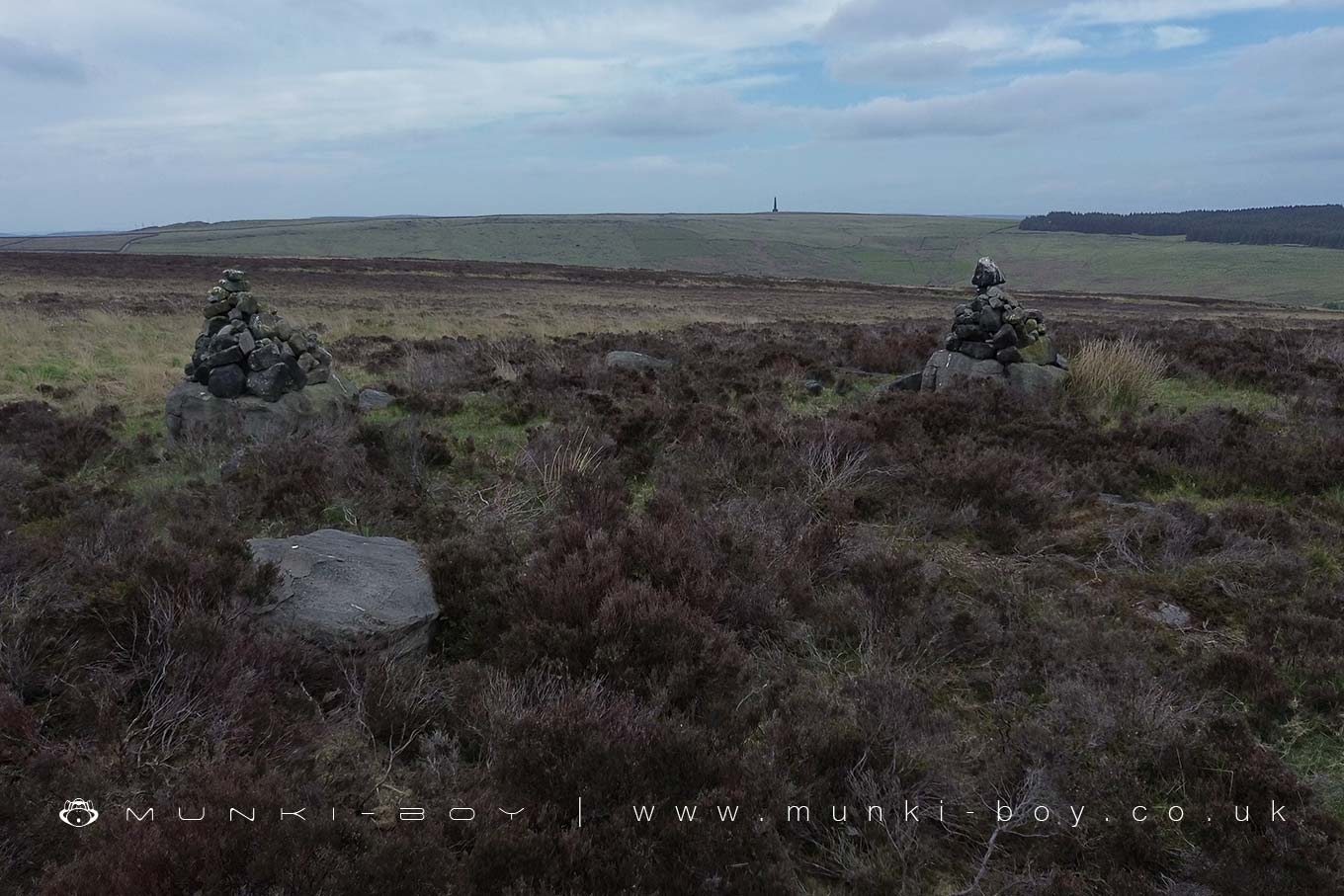
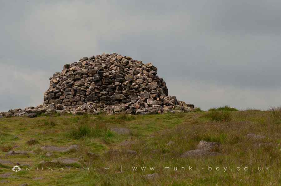
The Two Lads on Withens Moor are two cairns on top of unknown antiquity, placed on top of two gritstone boulders. The boulders feature various carvings, a cross, the word ‘Sowerby’, and possible some quite work cup marks. Marking similar to those found on old boundaries but in this case the is a prominent boundary passing a few metres to the west, that does feature marked boundary stones.
Shown and on the first edition OS maps there is at least some history to the site that exists among many named stones and rock outcrops on Withens Moor.
There is mention of an almost destroyed barrow close to the cairns but this is unproven by professional investigation.
In keeping with other monuments the Two Lads are said to mark the resting place of two boys who became lost on the moor at some point in history and died.
Interestingly there is another Two Lads 34 kms away to the west on Winter Hill above Bolton, that has a very similar origin story although its form is now much changed from the two cairns described in the 18th Century. Strangely that description is much more befitting of this Two Lads on Withens Moor ‘two rude piles of stone’…’and the passage betwixt them 6 feet’.
Created: 20 May 2025 Edited: 20 May 2025
Two Lads (Withens Moor)
Two Lads (Withens Moor) LiDAR Map

Contains public sector information licensed under the Open Government Licence v3.0
Local History around Two Lads (Withens Moor)
There are some historic monuments around including:
Ring cairn on Midgley Moor, 360m north east of Upper Han RoydThe old bridge over the Hebden Water at Hebden BridgeOld Church of St Thomas Becket, 210m north east of Daisy Field FarmEnclosed Bronze Age urnfield 200m north west of Hanging Field FarmWayside cross located on Slate Pit HillEnclosed Bronze Age urnfield 440m north west of Rough Bottom on Midgeley MoorCairn on Midgley Moor, 400m north east of Upper Han RoydCairn with an oval bank on Midgley Moor, 430m north east of Upper Han RoydWayside cross known as Tinker CrossCup marked boundary stone known as Churn Milk Joan on Crow Hill, Midgley Moor, 580m north of Foster Clough BridgeCairn known as Millers Grave on Midgley MoorBlackstone Edge Roman roadBlackstone Edge Roman roadOxygrains packhorse bridge, Rishworth.


