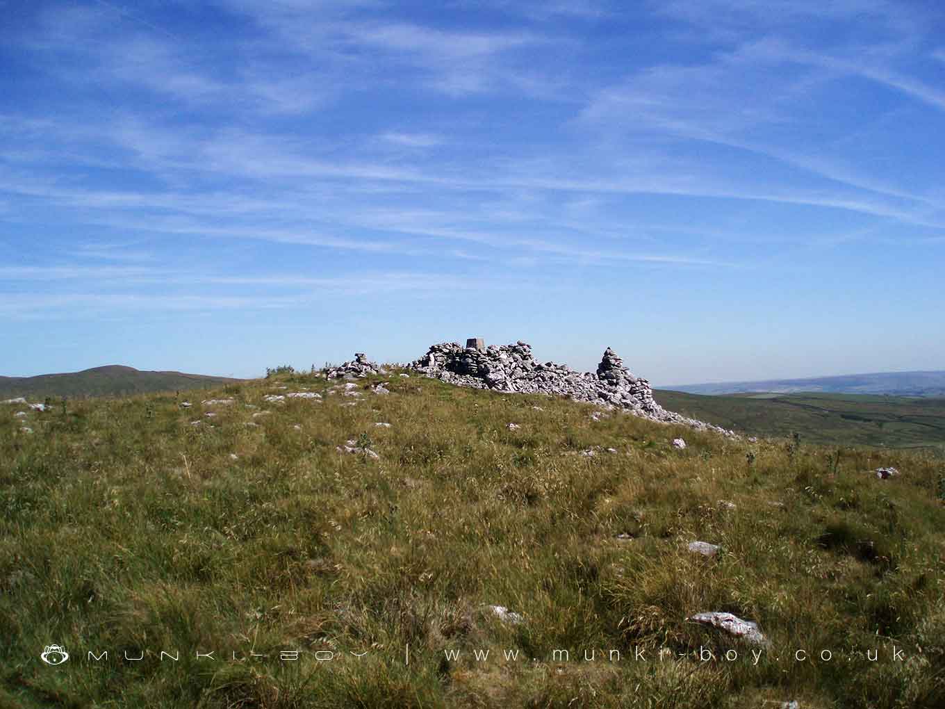
Trig Point on Warrendale Knotts by munki-boy
Trig Point on Warrendale Knotts
Trig Point on Warrendale Knotts is in The Yorkshire Dales National Park in England.
An example of an enclosed trig point on Warrendale Knotts.
The trig point is walled behind drystone walling made of the local limestone and similar to shepherds shelters.
There is also a cairn beside, of the same construction and of unknown age - there is a scheduled Ring Cairn on the adjacent fell.
Created: 24 February 2021 Edited: 29 November 2023
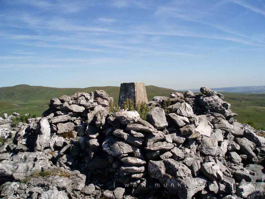
Trig Point Enclosure on Warrendale Knotts
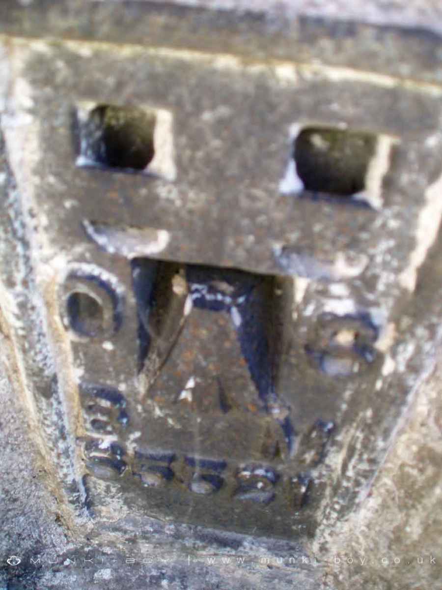
Warrendale Knotts Trig Point ID Plate
Trig Point on Warrendale Knotts
Trig Point on Warrendale Knotts LiDAR Map

Contains public sector information licensed under the Open Government Licence v3.0
Local History around Trig Point on Warrendale Knotts
There are some historic monuments around including:
Ring cairn north west of Reinsber ScarRound barrow 400m south west of Crane Field LaitheCraven and Murgatroyd lime works 400m north east of Langcliffe MillCairn 60m north east of Dead Man's CaveJubilee Cave, Langcliffe ScarBoundary dyke W of Capon HallSettlement 1/4 mile (400m) W of Leys BarnCairn on Stainforth Scar, 180m east of Hawes Close BarnVictoria Cave, Langcliffe ScarNucleated coal mine and coke oven on Fountains FellCairn 340m north of Scar Top GarageGiggleswick market crossUlfkill cross base, Malham MoorKinsey Cave, Giggleswick ScarRing cairn on Langcliffe Scar, 800m ESE of Victoria Cave.


