
Red Rock by munki-boy
Red Rock
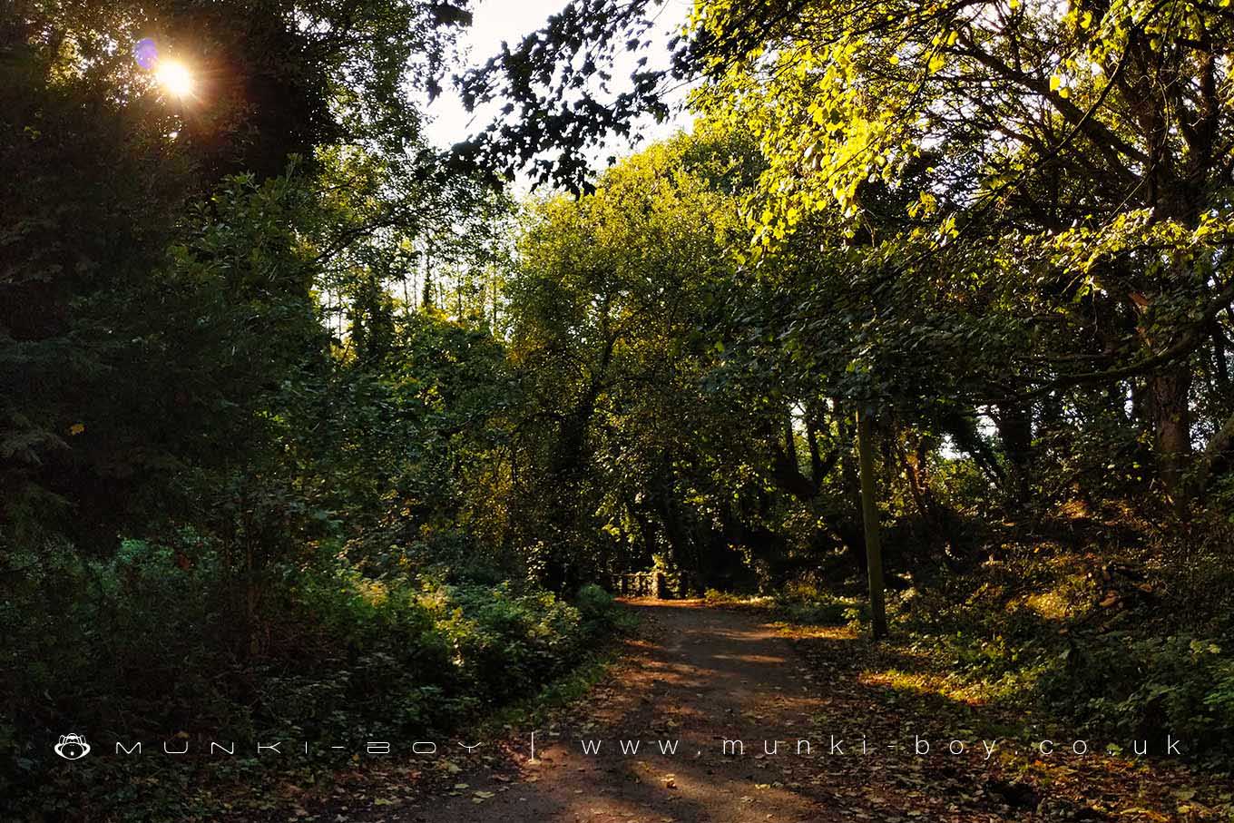
A rural area of Wigan popular for it’s canalside walks, interesting, disused railway lines and woodland.
Historically the site of the former Red Rock station on the Lancashire Union Joint Line which runs beside a section of the Leeds and Liverpool Canal, at one time the Lancaster Canal South End, which was partly used to transport coal from the many local collieries.
Created: 3 April 2022 Edited: 29 November 2023
Red Rock
Leeds and Liverpool Canal, Summit to Wigan
Leeds and Liverpool Canal, Summit to Wigan is a canal in Lancashire
Leeds and Liverpool Canal, Summit to Wiganis part of Cumbria and Lancashire Canals and SWT.
Leeds and Liverpool Canal, Summit to Wigan is 73.068 km long and is artificial and not a natural waterway.
Red Rock LiDAR Map

Contains public sector information licensed under the Open Government Licence v3.0
Local History around Red Rock
There are some historic monuments around including:
Haigh Sough mine drainage portal, 310m west of Park HouseWinstanley moated site and five fishpondsHeadless Cross, GrimefordMabs Cross on Standishgate, 20m west of Mabs Cross School buildingBretters Farm moated site and two fishpondsCross base on Green Lane 300m north of Strickland House Farm, StandishMoated site at Arley Hall, Haigh near WiganThe Moat House moated site 600m WNW of St David's ChurchMarket cross in the marketplace to the west of St Wilfrid's Church, StandishCross base on Standish Wood Lane 700m south east of Standish HallCross base at the junction of Standish Green Lane, Standish Wood Lane and Beech Walk, 200m NNW of Strickland House Farm, StandishGidlow Hall moated site, Aspull, 560m NNE of Pennington HallPike Stones chambered long cairn.


