Langroyd Country Park by munki-boy
Langroyd Country Park
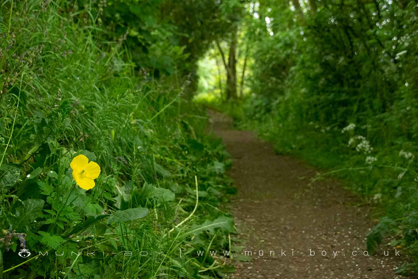
Langroyd us a small country park beside the southeastern shore of Lake Burwain at Fouldridge.
The park is served by two main footpaths, the Foulridge Upper Reservoir Link and on the north and east boundary by the Lake Burwain Greenway. The country park seems to have been situated on former farmland as there are no signs of occupation on the OS map of 1844.
Created: 27 November 2021 Edited: 29 November 2023
Langroyd Country Park Information
Local History around Langroyd Country Park
There are some historic monuments around including:
Ring cairn 25m east of Ell CloughBowl barrow 140m east of Beadle HillSaucer barrow 90m east of Ell CloughHigherford Old BridgeRound cairn 230m west of Bleara LoweWycoller HallBowl barrow 90m east of Twist CastleBeadle Hill Romano-British farmsteadBleara Lowe round cairnSmall stone circle on Delf HillCastercliff small multivallate hillfortTwist Castle Romano-British farmsteadBurwains Camp prehistoric defended settlement west of Broad Bank HillBowl barrow 155m east of Beadle HillPike Low bowl barrow and site of beacon, Bonfire HillWycoller packhorse bridgeThe Hall Bridge, WycollerRing cairn on Rectory Allotment.


