Kersal Wetalnds by JRL
Kersal Wetalnds
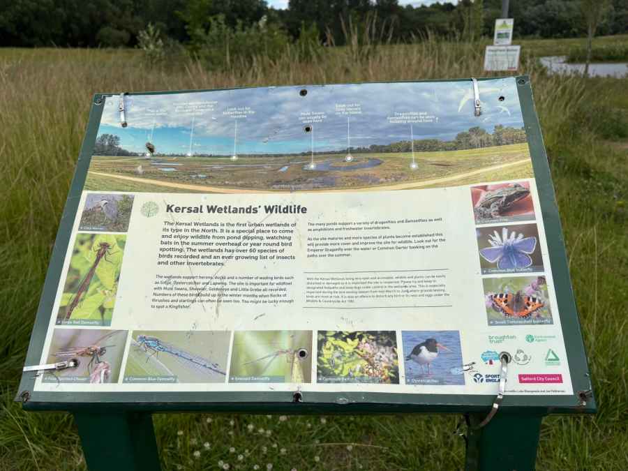
Kersal Wetlands is a large nature reserve and flood-alleviation area beside the River Irwell in Salford, Greater Manchester. It was created between 2015 and 2018 as part of a major Environment Agency project designed to reduce the risk of flooding in Lower Broughton and surrounding neighbourhoods. The scheme cost around £10–£11 million and can hold up to 650 million litres of floodwater, protecting thousands of homes and businesses nearby.
The site was formerly part of Castle Irwell racecourse, which later became student accommodation before being redeveloped into this wetland landscape. Today, it is a mix of wetland channels, ponds, reedbeds, wildflower meadows, and woodland. A network of level, well-maintained footpaths makes it easy to explore on foot or by bike, with access points from Cromwell Road and Littleton Road.
One of the most popular features is a 1.9-mile circular walking route, offering views of the Manchester skyline and connections to neighbouring Kersal Dale and Kersal Moor. These adjoining areas also provide woodland trails and open grassland rich in wildlife.
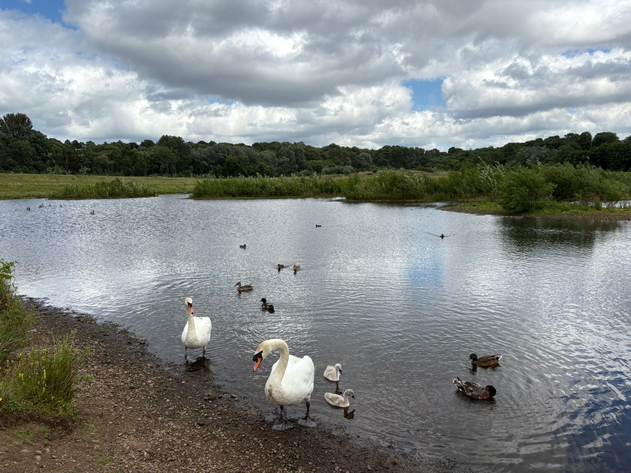
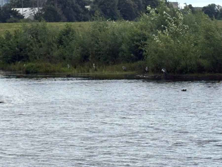
Kersal Wetlands has quickly become an important habitat for birds and other wildlife. Visitors can often spot herons, kingfishers, and a variety of waterfowl. The wildflower meadows attract insects and pollinators, making it a valuable urban refuge for biodiversity.
It’s also a peaceful place for local people to walk, exercise, and enjoy nature, just a short distance from the city centre. The site is family-friendly and suitable for wheelchair users and buggies, though visitors are asked to stay on paths and keep dogs under control, especially during the nesting season from March to June.
Overall, Kersal Wetlands is a good example of how flood defences can be combined with environmental improvements, creating a green space that benefits both people and wildlife.
Created: 28 June 2025 Edited: 29 June 2025
Kersal Wetalnds
Local History around Kersal Wetalnds
There are some historic monuments around including:
The Hanging Bridge immediately south of Manchester CathedralSection of an early medieval boundary ditch known as the Nico Ditch in Platt Fields 480m SSE of Platt HallRemains of eastern wall of the Roman fortRadcliffe Tower and site of hall 100m south west of the parish church in Radcliffe.


