
Hartshead Pike
Hartshead Pike
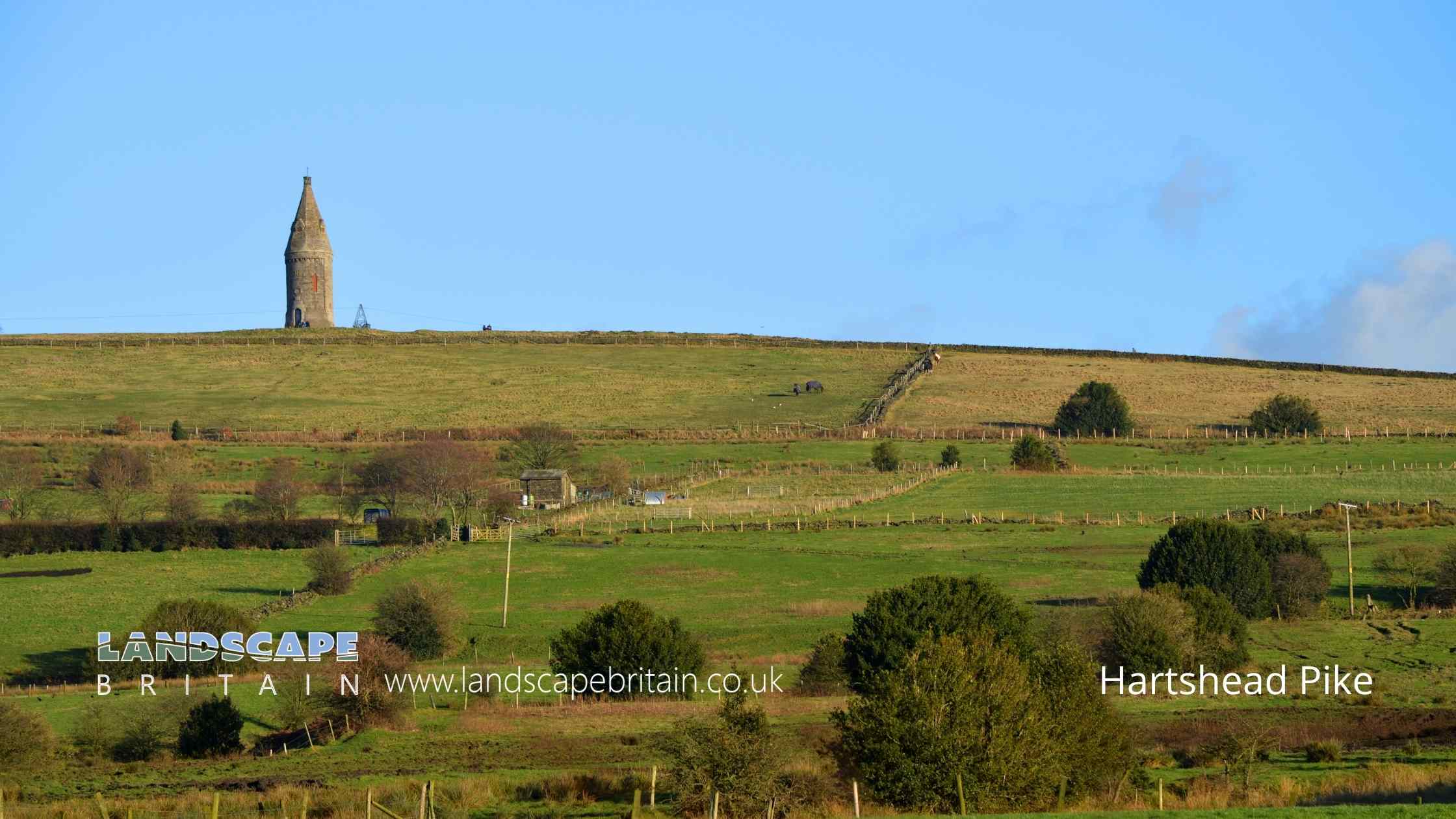
Hartshead Pike is a hill to the north of Ashton-under-Lyne, in Greater Manchester, England. The hill stands at 267 metres.
Hartshead Pike has been a popular beauty spot since the Victorian era and offers panoramic views of the surrounding countryside. There are several ways to get to the top of the hill, including a short walk from the nearby car park, or a longer hike up one of the many footpaths that lead to the summit.
At the top of Hartshead Pike is a small stone tower dating to 1863, on the site of an earlier monument that was itself rebuilt in 1751.
The So-Called Well
Opposite the tower’s entrance stands a stone surround with a large flat rock placed on top—commonly referred to as a “well.” But this designation is almost certainly incorrect.
Given the summit’s elevation and lack of natural spring activity, a water well here would have to be implausibly deep, and it’s highly unlikely water would be sourced from the top of a sandstone ridge. More likely, the feature is a capped shaft or quarry-related void, possibly one of the rectangular structures shown on the 1844 map. The heavy stone cap suggests it was sealed deliberately, likely for safety.
The Viewpoint and What You Can See
Just beside the tower is a modern viewpoint plaque listing visible landmarks and their distances. On clear days, visitors can see:
- Nearby: Brown Edge (0.5 km), Wild Bank (3.75 km), and Buckton Castle (3 km)
- Mid-range: Manchester City Centre (13 km), Bolton (25.5 km), and Winter Hill (33 km)
- Distant: Jodrell Bank (37.5 km), Fiddlers Ferry (49.5 km), and even the Welsh Hills (110 km)
The Pike’s elevation and open position make it a superb viewing platform—one of the reasons it has remained a focal point for centuries.
Created: 4 November 2022 Edited: 5 May 2025
The Hartshead Tower(s)
Hartshead Pike Details
Hartshead Pike is a 267 metre high hill in Greater Manchester.
Hartshead Pike
Hartshead Pike LiDAR Map

Contains public sector information licensed under the Open Government Licence v3.0
Local History around Hartshead Pike
There are some historic monuments around including:
Round cairn west of Hollingworthhall MoorPost-medieval glassworks 250m south east of Clarke's BridgeBowl barrow 190m NNE of Knarr BarnBuckton Castle: a ringwork and site of 17th century beacon 350m north east of Castle FarmCastleshaw Roman forts, 250m west of Castle Shaw Farm.


